Old Maps of Bradberry, Arizona for Genealogy
Trace your family roots with 15 historic maps of Bradberry. These high-res maps reveal old neighborhoods, homesites, landmarks, and streets — helping you uncover where your ancestors lived and how the area evolved over time.
- Explore historic neighborhoods: Identify where your relatives may have lived in the 1800s or 1900s.
- Compare maps over time: Trace the changes in streets, buildings, and landmarks for multi-generational research.
- Perfect for genealogy & ancestry research: Used by family historians and researchers to map out lineage and migration.
These maps are an incredible resource for exploring your personal connection to Bradberry's past.
Bradberry, AZ maps
(15)- 1945 Map of Redington
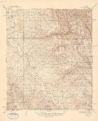 1945 Redington1945 Print · USGSThe San Pedro River valley in the 1940s was a landscape of remote cattle ranches and mining claims. Genealogists and historians can trace family properties like Bingham Ranch, locate the Pool Sch, and find the historic Jackson Mine.2 unique versions available
 - 1956 Map of Tucson, 1967 Print
 1956 Tucson1967 Print · USGSPost-war Southern Arizona comes into focus as the copper and aviation industries expand around Tucson. Trace family roots in South Tucson or locate early mining sites like the San Manuel Mine and Silver Bell Mine near the Santa Cruz River.3 unique versions available
 - 1957 Map of Redington, 1958 Print
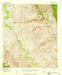 1957 Redington1958 Print · USGSThe San Pedro River valley in the late fifties shows a landscape shaped by remote ranching and desert homesteads. Genealogists and historians can trace family-named sites like Bingham Ranch, the Cascabel School, and Soza Ranch.3 unique versions available
 - 1958 Map of Tucson
 1958 Tucson1958 Print · USGSSouthern Arizona in the late fifties reveals a landscape of desert agriculture and rising military aviation. Trace the rail lines of the Southern Pacific or locate the historic San Xavier Del Bac Mission and the Casa Grande Natl Mon.
 - 1959 Map of Tucson
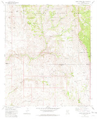
 1959 Tucson1959 Print · USGSSouthern Arizona in the late fifties shows a landscape of military growth and desert industry. Genealogists and historians can trace the footprint of Davis-Monthan Air Force Base and old mining sites like the San Manuel Mine near Mammoth.2 unique versions available
 - 1962 Map of Tucson
 1962 Tucson1962 Print · USGSSouthern Arizona in the early sixties showcases a landscape defined by burgeoning desert cities and massive military installations. Researchers can trace tribal settlements like Schuchk, legacy mining sites at Silver Bell Mine, and the early footprint of Davis-Monthan Air Force Base.
 - 1964 Map of Tucson
 1964 Tucson1964 Print · USGSSouthern Arizona in the mid-1960s shows a landscape of burgeoning desert cities and industrial-scale copper mining. Researchers can trace the development of Tucson and its outlying mining districts, including the Silver Bell Mine and San Manuel Mine.
 - 1981 Map of Cherry Spring Peak
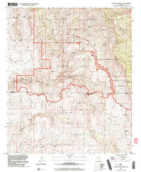
 1981 Cherry Spring Peak1981 Print · USGSThe Galiuro Mountains of southeast Arizona are shown in the early 1980s as a landscape of remote ranching outposts and high-desert canyons. Researchers can trace the layout of family landmarks like Pride Ranch, Browning Ranch, and the historic Jackson Mine.3 unique versions available
 - 1994 Map of Tucson
 1994 Tucson1994 Print · USGSTucson and the Santa Cruz Valley appear here in the mid-1990s, caught between rapid urban growth and protected wilderness. Researchers can trace the development of Casas Adobes, the operations at Davis Monthan Air Force Base, and the rail lines of the Southern Pacific RR.2 unique versions available
 - 1996 Map of Cherry Spring Peak, 2003 Print
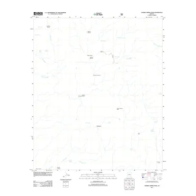
 1996 Cherry Spring Peak2003 Print · USGSHigh desert wilderness in Cochise and Graham counties during the late nineties shows a landscape of deep canyons and isolated outposts. Genealogists and historians can locate remote landmarks such as Jackson Cabin, Pride Ranch, and the Bradberry (Site).
 - 2011 Map of Cherry Spring Peak, 2011 Print
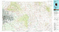
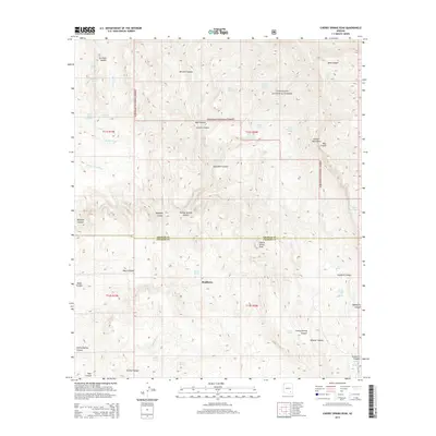
 2011 Cherry Spring Peak2011 Print · USGSCovers Bradberry, including Cochise County, Graham County, and other nearby areas
 - 2014 Map of Cherry Spring Peak, 2014 Print
 2014 Cherry Spring Peak2014 Print · USGSCovers Bradberry, including Cochise County, Graham County, and other nearby areas
 - 2018 Map of Cherry Spring Peak, 2018 Print
 2018 Cherry Spring Peak2018 Print · USGSCovers Bradberry, including Cochise County, Graham County, and other nearby areas
 - 2021 Map of Cherry Spring Peak, 2021 Print
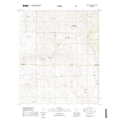
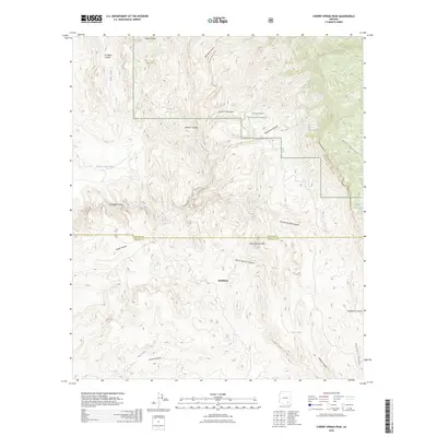
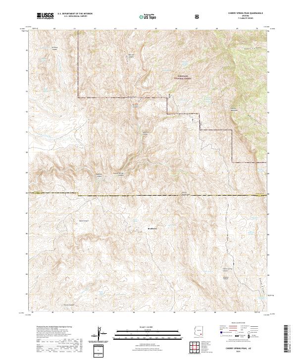 2021 Cherry Spring Peak2021 Print · USGSThe southern Galiuro Mountains are captured here in the early twenty-first century, showing a remote backcountry defined by the Coronado National Forest. Researchers can map the vital network of desert water sources and trails including Stone Cabin Spring, Bradberry, and the West Divide Trl.
 - 2026 Map of Cherry Spring Peak, 2026 Print
 2026 Cherry Spring Peak2026 Print · USGSCovers Bradberry, including Cochise County, Graham County, and other nearby areas
End of results
Showing maps 1-15 of 15
Frequently asked questions
- What are the different types of historical maps available for Bradberry?
- What is the oldest map of Bradberry?
- Where can I purchase historical maps of Bradberry for my home or office?
- Where can I download high-res historical maps of Bradberry?
- Are there historical topographic maps available for Bradberry?
- Is there historical aerial imagery available for Bradberry?
- Where are historical maps of Bradberry sourced from?