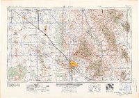
1964 Map of Tucson
USGS Topo · Published 1964About this map
Tucson and its surrounding desert basins are captured here during a period of significant mid-century expansion, dominated by large-scale copper mining and military infrastructure. The urban center is flanked by the Davis-Monthan Air Force Base to the southeast and the rugged Tucson Mountains to the west. Industrial activity is prominent in the landscape, with the massive operations of the Silver Bell Mine, Mission Mine, and Esperanza Mine carving into the arid terrain.
Find a feature on this map
161 named features on this map. Tap any name to fly to it.
Don’t see what you’re looking for? This feature index may not catch every label — zoom into the map to look around manually.
Map Details
Editions of this 1964 Tucson Map
This is the sole edition of this map. No revisions or reprints were ever made.
Other maps of this area
1900 · Florence
USGS Topo · 1:125,000
1902 · Florence
USGS Topo · 1:125,000
1904 · Patagonia
USGS Topo · 1:125,000
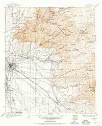
1904 · Tucson
USGS Topo · 1:125,000
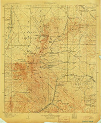
1905 · Patagonia
USGS Topo · 1:125,000
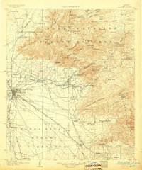
1905 · Tucson
USGS Topo · 1:125,000
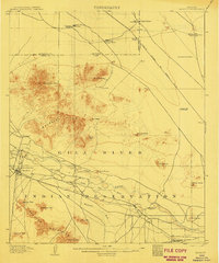
1907 · Sacaton
USGS Topo · 1:62,500
1910 · Ray
USGS Topo · 1:62,500
1911 · Winkelman
USGS Topo · 1:125,000
1913 · Winkelman
USGS Topo · 1:125,000