Old Maps of Cochise, Arizona
Explore 13 old maps of Cochise, spanning from 1922 to today. These high-resolution historic maps reveal how streets, neighborhoods, landmarks, and natural features evolved over time — perfect for genealogy, metal detecting, research, and local history exploration.
What you can do with these maps:
- See how Cochise changed over time: Compare historical maps to modern-day views to trace roads, homesites, rail lines & more.
- View detailed metadata: Each map includes creators, publishers, year, scale, and archive source.
- Overlay maps with satellite & LiDAR: Visualize the past alongside modern tools to explore terrain & human change.
- Trusted historical sources: Maps sourced from the USGS, Library of Congress, and other archives.
- Access maps your way: View online, download high-res files, or order prints for personal or research use.
Start exploring old maps of Cochise to uncover forgotten places, hidden landmarks, and the deep history beneath your feet.
Cochise, AZ maps
(13)- 1922 Map of Willcox
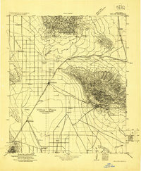 1922 Willcox1922 Print · USGSCochise County’s high-desert ranching and mining heartland is captured in the early 1920s as a thriving railroad hub. Genealogists can trace family holdings and rail stops across the basin, from Willcox and Servoss to the Mascot Mine and Circle I Ranch.
 - 1943 Map of Cochise
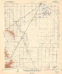 1943 Cochise1943 Print · USGSSoutheast Arizona's high-desert ranching and mining country is captured here during the early years of the war. Genealogists and researchers can trace the rail-side life of Willcox and Cochise, or locate landmarks like the Sulphur Spring School and Red Bird Mine.3 unique versions available
 - 1954 Map of Silver City, 1967 Print
 1954 Silver City1967 Print · USGSSoutheast Arizona and southwest New Mexico meet in this mid-century survey of the high desert and mountain mining districts. Local researchers can trace the rail lines through Lordsburg, the silver operations at Ash Peak Mines, and the limits of Fort Bayard Military Reservation.4 unique versions available
 - 1958 Map of Silver City
 1958 Silver City1958 Print · USGSSouthwestern New Mexico and eastern Arizona appear here in the mid-1950s, a period of intensive mining and rail activity. Trace the routes of the Southern Pacific RR through Lordsburg or locate historic operations at the Chino Mine and Santa Rita.
 - 1958 Map of Cochise, 1959 Print
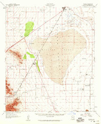 1958 Cochise1959 Print · USGSSulphur Spring Valley and the massive dry bed of the Willcox Playa are captured here during the ranching and mining era of the late fifties. Genealogists can trace family holdings and rural landmarks like the Sulphur Spring School, Steele Ranch, and the Golden Rule Mine.2 unique versions available
 - 1962 Map of Silver City
 1962 Silver City1962 Print · USGSThe high desert borderlands of New Mexico and Arizona come alive in this early sixties survey. Genealogists and historians can trace the mining economy through the Chino Mine, follow the rail routes of the Southern Pacific, or locate settlements like Virden and Bayard.
 - 1985 Map of Cochise
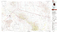
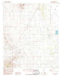 1985 Cochise1985 Print · USGSArizona's desert basins and high peaks converge at Cochise in the mid-1980s, where rail transport and military operations shaped the valley floor. Genealogists and historians can trace the Southern Pacific corridor and land use near the Willcox Bombing Range and the slopes of the Dragoon Mountains.2 unique versions available
 - 1994 Map of Willcox
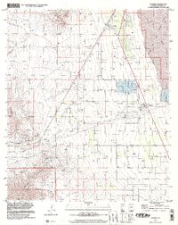
 1994 Willcox1994 Print · USGSSoutheast Arizona in the mid-nineties shows a landscape defined by expansive desert basins and rugged sky islands. Genealogists and historians can trace the rail corridor of the Southern Pacific through Willcox, Bowie, and the Kansas Settlement.2 unique versions available
 - 1996 Map of Cochise, 2002 Print
 1996 Cochise2002 Print · USGSThe high-desert terrain of Cochise County is captured here in the mid-1990s, where industrial infrastructure meets military training grounds. Researchers can trace the extensive mining history at Mine Shafts or locate the local Cem near the Willcox Bombing Range.
 - 2012 Map of Cochise, 2012 Print
 2012 Cochise2012 Print · USGSCovers Cochise, including Manzoro, Cochise County, and other nearby areas
 - 2014 Map of Cochise, 2014 Print
 2014 Cochise2014 Print · USGSCovers Cochise, including Manzoro, Cochise County, and other nearby areas
 - 2018 Map of Cochise, 2018 Print
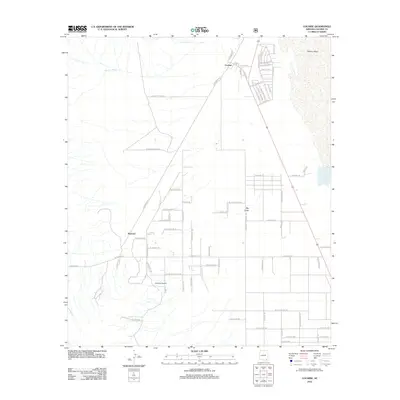
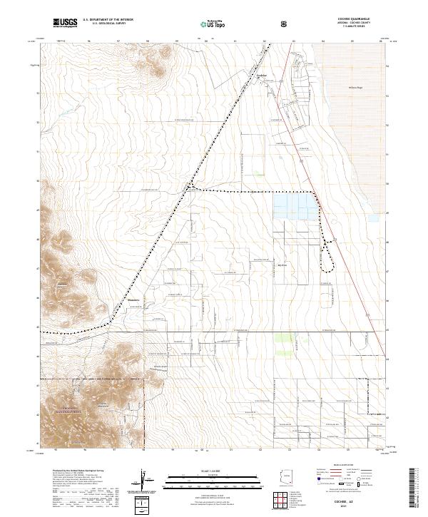
 2018 Cochise2018 Print · USGSCovers Cochise, including Manzoro, Cochise County, and other nearby areas
 - 2021 Map of Cochise, 2021 Print
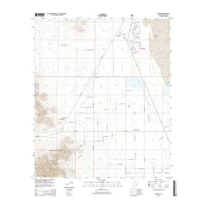
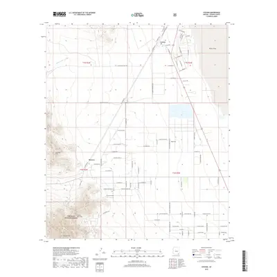
 2021 Cochise2021 Print · USGSCochise County is captured here in the modern era as a hub of ranching and rail history. Researchers can trace local genealogy at the Cochise Cem or follow the path of the Union Pacific Railroad as it skirts the Willcox Playa and Manzoro.
End of results
Showing maps 1-13 of 13
Top cities near Cochise
Frequently asked questions
- What are the different types of historical maps available for Cochise?
- What is the oldest map of Cochise?
- Where can I purchase historical maps of Cochise for my home or office?
- Where can I download high-res historical maps of Cochise?
- Are there historical topographic maps available for Cochise?
- Is there historical aerial imagery available for Cochise?
- Where are historical maps of Cochise sourced from?