Old Maps of Fenner, Arizona for Academic Research
Study the evolution of Fenner with 14 high-resolution historic maps. Whether you're teaching, researching, or modeling changes in land use, these maps provide essential visual documentation of urban, environmental, and geographic change.
- Analyze long-term change: Track patterns in development, transportation, and natural features.
- Ideal for environmental or urban studies: Support academic projects with primary historical map data.
- Use in the classroom or lab: Educators and researchers rely on these maps to bring historical context to life.
These maps are a powerful tool for teaching, research, and visualizing how Fenner has changed over the decades.
Fenner, AZ maps
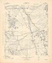
(14)- 1915 Map of Benson
 1915 Benson1915 Print · USGSSouthern Arizona was a landscape of rail junctions and mining claims just before the Great War. Genealogists and historians can trace the reach of Tombstone, find the Panama Mine, and locate vanished rail stops like Fairbank and Boquillas.4 unique versions available
 - 1922 Map of St. David, 1928 Print
 1922 St. David1928 Print · USGSCochise County's river-and-rail economy is captured here in the 1920s, showing the settlement at St David and the industrial works of the Apache Powder Co. Researchers can trace the Southern Pacific line and family landmarks like Fourr Ranch or the landing at Boquillas.
 - 1943 Map of Benson
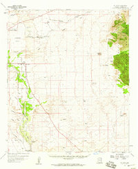
 1943 Benson1943 Print · USGSCochise County during the wartime 1940s reveals a landscape defined by the San Pedro River and the legendary town of Tombstone. Genealogists and historians can trace the foundations of Fort Huachuca and locate rural landmarks like St David, Fairbank, and Huachuca Turner PO.
 - 1956 Map of Nogales, 1963 Print
 1956 Nogales1963 Print · USGSSouthern Arizona in the mid-fifties is captured here from the Papago tribal lands to the San Pedro valley. Genealogists and historians can trace border settlements like Sasabe, the legacy of Tombstone, and old mining sites including the Mary G Mine.4 unique versions available
 - 1958 Map of Nogales
 1958 Nogales1958 Print · USGSSouthern Arizona in the late fifties was a landscape of international borders and high-desert outposts, dominated by the Huachuca Mountains and the Papago Indian Reservation. Local historians can trace old mining camps like Ruby and Greaterville or locate historic military grounds at the Fort Huachuca Military Reservation.
 - 1958 Map of St. David, 1959 Print
 1958 St. David1959 Print · USGSCochise County’s San Pedro River valley was a busy corridor for the Southern Pacific railroad during the late fifties. Genealogists and historians can trace the remnants of older settlements at Contention and Quiburi Mission or explore the rail points of Sibyl and Curtiss.3 unique versions available
 - 1959 Map of Nogales
 1959 Nogales1959 Print · USGSThe Southern Arizona borderlands appear in the late fifties as a complex landscape of military ranges, tribal lands, and high-desert mining towns. Local historians can trace the Southern Pacific rail lines connecting Tombstone and Benson or locate family ranches such as Canoa Ranch.
 - 1973 Map of Saint David, 1976 Print
 1973 Saint David1976 Print · USGSThe San Pedro River valley in the early seventies shows a landscape shaped by irrigation and the Southern Pacific rail line. Researchers can trace the Saint David Ditch and locate the High Sch or the remote sidings of Fenner and Sibyl.2 unique versions available
 - 1994 Map of Fort Huachuca
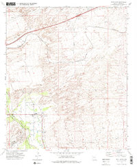
 1994 Fort Huachuca1994 Print · USGSSouthern Arizona in the mid-nineties shows a landscape of expansive military reservations, historic land grants, and storied mining districts. Researchers can trace the S P RR through the San Pedro River valley or locate dozens of remote mountain workings like the Montezuma Mine and Eureka Mine.3 unique versions available
 - 1996 Map of Saint David, 2002 Print
 1996 Saint David2002 Print · USGSThe San Pedro Valley and Lonesome Valley appear in the mid-nineties as the region balanced its agricultural roots with modern infrastructure. Genealogists can trace the rural layout of Saint David and locate family landmarks near Fenner or the Stronghold.
 - 2011 Map of Saint David, 2011 Print
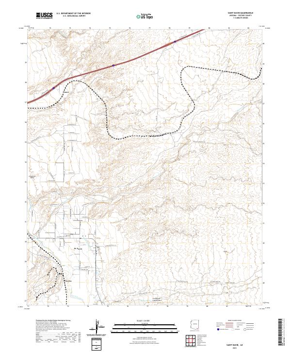
 2011 Saint David2011 Print · USGSCovers Fenner, including Curtiss, Saint David, and other nearby areas
 - 2014 Map of Saint David, 2014 Print
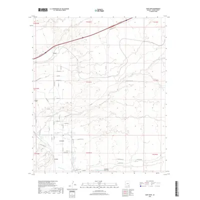
 2014 Saint David2014 Print · USGSCovers Fenner, including Curtiss, Saint David, and other nearby areas
 - 2018 Map of Saint David, 2018 Print
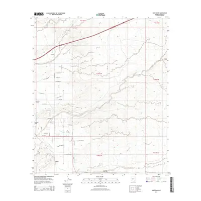
 2018 Saint David2018 Print · USGSCovers Fenner, including Curtiss, Saint David, and other nearby areas
 - 2021 Map of Saint David, 2021 Print
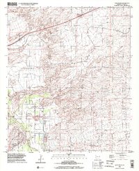
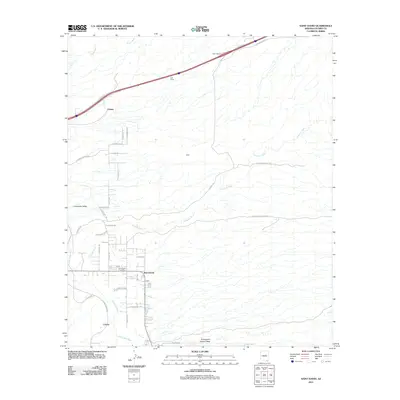
 2021 Saint David2021 Print · USGSCochise County’s high desert river valley is captured here in the early twenty-first century, showing the enduring agricultural life along the San Pedro River. Genealogists and local historians can trace the irrigation systems of the Saint David Ditch and Pomerene Canal near St. David and Curtiss.
End of results
Showing maps 1-14 of 14
Top cities near Fenner
Frequently asked questions
- What are the different types of historical maps available for Fenner?
- What is the oldest map of Fenner?
- Where can I purchase historical maps of Fenner for my home or office?
- Where can I download high-res historical maps of Fenner?
- Are there historical topographic maps available for Fenner?
- Is there historical aerial imagery available for Fenner?
- Where are historical maps of Fenner sourced from?