Old Maps of Hookers Hot Springs, Arizona for Hiking & Exploration
Hike through history with 16 historic maps of Hookers Hot Springs. Explore old trails, ghost towns, and forgotten backroads — perfect for outdoor adventurers and local explorers.
- Rediscover forgotten places: Map out old mining camps, roads, and footpaths that no longer exist on modern maps.
- Layer with modern tools: Combine with LiDAR or satellite views to plan hikes through historical terrain.
- Made for exploration: Popular among hikers, overlanders, and local history lovers.
Use these maps to find adventure and explore the hidden past of Hookers Hot Springs.
Hookers Hot Springs, AZ maps
(16)- 1943 Map of Winchester Mts. , 1945 Print
 1943 Winchester Mts.1945 Print · USGSSoutheastern Arizona's high desert cattle country is captured here during the early 1940s. Genealogists and historians can trace numerous remote homesteads and water sources, including Muleshoe Ranch, Antelope Ranch, and Hooker Hot Springs.2 unique versions available
 - 1945 Map of Winchester Mts.
 1945 Winchester Mts.1945 Print · USGSCochise and Graham Counties in the 1940s were a landscape of remote cattle operations and high-desert peaks. Researchers can trace the heritage of family-named outposts like the Muleshoe Ranch and Lee Ranch, or locate water sources like Hookers Hot Springs.
 - 1956 Map of Tucson, 1967 Print
 1956 Tucson1967 Print · USGSPost-war Southern Arizona comes into focus as the copper and aviation industries expand around Tucson. Trace family roots in South Tucson or locate early mining sites like the San Manuel Mine and Silver Bell Mine near the Santa Cruz River.3 unique versions available
 - 1957 Map of Winchester Mts., 1959 Print
 1957 Winchester Mts.1959 Print · USGSCochise County ranching culture and high-desert peaks are documented here in the mid-fifties as the landscape transitioned toward modern recreation. Trace the sites of Hookers Hot Springs and family holdings like Muleshoe Ranch and Ellis Ranch.3 unique versions available
 - 1958 Map of Tucson
 1958 Tucson1958 Print · USGSSouthern Arizona in the late fifties reveals a landscape of desert agriculture and rising military aviation. Trace the rail lines of the Southern Pacific or locate the historic San Xavier Del Bac Mission and the Casa Grande Natl Mon.
 - 1959 Map of Tucson
 1959 Tucson1959 Print · USGSSouthern Arizona in the late fifties shows a landscape of military growth and desert industry. Genealogists and historians can trace the footprint of Davis-Monthan Air Force Base and old mining sites like the San Manuel Mine near Mammoth.2 unique versions available
 - 1962 Map of Tucson
 1962 Tucson1962 Print · USGSSouthern Arizona in the early sixties showcases a landscape defined by burgeoning desert cities and massive military installations. Researchers can trace tribal settlements like Schuchk, legacy mining sites at Silver Bell Mine, and the early footprint of Davis-Monthan Air Force Base.
 - 1964 Map of Tucson
 1964 Tucson1964 Print · USGSSouthern Arizona in the mid-1960s shows a landscape of burgeoning desert cities and industrial-scale copper mining. Researchers can trace the development of Tucson and its outlying mining districts, including the Silver Bell Mine and San Manuel Mine.
 - 1985 Map of Hookers Hot Springs
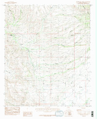 1985 Hookers Hot Springs1985 Print · USGSCochise County’s high-desert rangeland is captured in the mid-eighties as a landscape of isolated springs and complex canyon systems. Researchers can trace historic water sources and property boundaries near Hookers Hot Springs, Riggs Seep, and the southern Winchester Mountains.2 unique versions available
 - 1994 Map of Tucson
 1994 Tucson1994 Print · USGSTucson and the Santa Cruz Valley appear here in the mid-1990s, caught between rapid urban growth and protected wilderness. Researchers can trace the development of Casas Adobes, the operations at Davis Monthan Air Force Base, and the rail lines of the Southern Pacific RR.2 unique versions available
 - 1996 Map of Hookers Hot Springs, 2002 Print
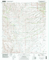 1996 Hookers Hot Springs2002 Print · USGSCochise County’s high-desert landscape comes to life in the mid-1990s as the Winchester Mountains meet the valley floor. Researchers can trace the springs and remote canyon networks that sustained local life, from Hookers Hot Springs to the rural Riggs Serp and the broad Allen Flat.
 - 2011 Map of Hookers Hot Springs, 2011 Print
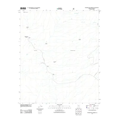 2011 Hookers Hot Springs2011 Print · USGSCovers Hookers Hot Springs, including Cochise County, United States, and other nearby areas
 - 2014 Map of Hookers Hot Springs, 2014 Print
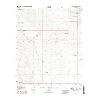 2014 Hookers Hot Springs2014 Print · USGSCovers Hookers Hot Springs, including Cochise County, United States, and other nearby areas
 - 2018 Map of Hookers Hot Springs, 2018 Print
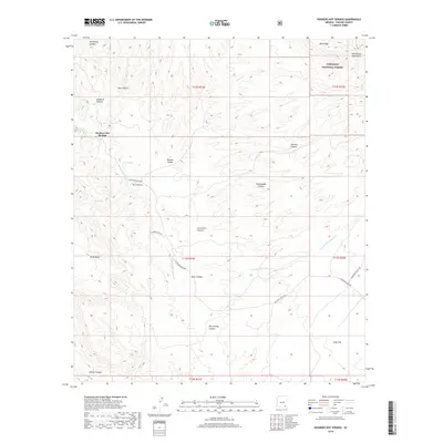 2018 Hookers Hot Springs2018 Print · USGSCovers Hookers Hot Springs, including Cochise County, United States, and other nearby areas
 - 2021 Map of Hookers Hot Springs, 2021 Print
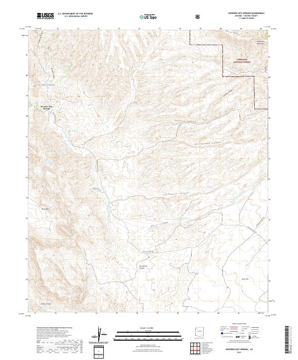 2021 Hookers Hot Springs2021 Print · USGSCochise County’s high desert and thermal waters are detailed here in this contemporary survey of the Winchester Mountains. Researchers can trace historic ranch access along Muleshoe Ranch Rd to landmarks like Hookers Hot Springs and Riggs Seep.
 - 2026 Map of Hookers Hot Springs, 2026 Print
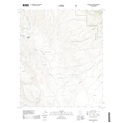 2026 Hookers Hot Springs2026 Print · USGSCovers Hookers Hot Springs, including Cochise County, United States, and other nearby areas
End of results
Showing maps 1-16 of 16
Frequently asked questions
- What are the different types of historical maps available for Hookers Hot Springs?
- What is the oldest map of Hookers Hot Springs?
- Where can I purchase historical maps of Hookers Hot Springs for my home or office?
- Where can I download high-res historical maps of Hookers Hot Springs?
- Are there historical topographic maps available for Hookers Hot Springs?
- Is there historical aerial imagery available for Hookers Hot Springs?
- Where are historical maps of Hookers Hot Springs sourced from?