Old Maps of Sunizona, Arizona for Genealogy
Trace your family roots with 14 historic maps of Sunizona. These high-res maps reveal old neighborhoods, homesites, landmarks, and streets — helping you uncover where your ancestors lived and how the area evolved over time.
- Explore historic neighborhoods: Identify where your relatives may have lived in the 1800s or 1900s.
- Compare maps over time: Trace the changes in streets, buildings, and landmarks for multi-generational research.
- Perfect for genealogy & ancestry research: Used by family historians and researchers to map out lineage and migration.
These maps are an incredible resource for exploring your personal connection to Sunizona's past.
Sunizona, AZ maps
(14)- 1916 Map of Pearce
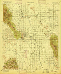 1916 Pearce1916 Print · USGSCochise County mining camps and ranch lands are documented here during the peak of the copper boom. Researchers can trace family-named outposts like Kirkpatrick Ranch or locate early rural education sites such as Stronghold School and Brophy School.3 unique versions available
 - 1926 Map of Light
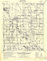 1926 Light1926 Print · USGSCochise County ranching and rail transport are captured here during the mid-twenties, as the high desert landscape began to transition. Researchers can trace family ranch lands such as Moore Ranch and the site of Light, alongside the route of the Eastern Arizona Railroad.
 - 1955 Map of Douglas
 1955 Douglas1955 Print · USGSThe Arizona and New Mexico borderlands come into focus in the mid-1950s, highlighting the mining and ranching hubs of the Desert Southwest. Genealogists and historians can trace the foundations of Bisbee, the operations at Hachita Mine, and rural landmarks like the Double Adobe School.2 unique versions available
 - 1958 Map of Squaretop Hills, 1959 Print
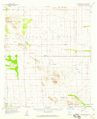 1958 Squaretop Hills1959 Print · USGSCochise County ranching and desert life are recorded here in the late fifties, showing a landscape defined by seasonal creeks and mountain ridges. Genealogists and historians can locate family holdings like Gears Ranch and the Ash Creek School or trace the old railroad grade.3 unique versions available
 - 1959 Map of Douglas, 1968 Print
 1959 Douglas1968 Print · USGSSoutheast Arizona and southwest New Mexico meet at the border in the late fifties, showcasing a high-desert landscape defined by industrial copper mining and ranching. Genealogists and historians can trace the foundations of Bisbee, locate the Lavender Pit, and follow the Southern Pacific line through Douglas.4 unique versions available
 - 1961 Map of Douglas
 1961 Douglas1961 Print · USGSThe Arizona-Mexico borderlands come into focus at mid-century, detailing the vital mining and ranching hubs of Cochise County and southwest New Mexico. Genealogists and historians can trace the Southern Pacific Railroad through Bisbee and Douglas, or locate early sites like the Old Hachita Mine and Rucker School.
 - 1964 Map of Douglas
 1964 Douglas1964 Print · USGSThe Arizona-New Mexico borderlands in the early sixties reveal a landscape of deep-rooted copper mining and high-desert ranching. Genealogists and researchers can trace the legacy of settlements like Pirtleville, the industrial site of the Copper Smelter, and remnants of the Cochise Mines.
 - 1986 Map of Sulphur Hills
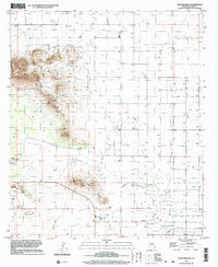
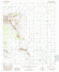 1986 Sulphur Hills1986 Print · USGSSunizona and the surrounding Cochise County landscape are captured in the mid-1980s as a quiet hub of mining and ranching. Trace local history through the Cem, Mine Shaft, and the community at Sunizona.
 - 1994 Map of Chiricahua Peak
 1994 Chiricahua Peak1994 Print · USGSSoutheast Arizona in the mid-nineties shows a land of high sky islands and broad cattle valleys transitioning into New Mexico. Trace the legacy of old mining camps and railroad stops from Pearce and Gleeson to the canyons of the Chiricahua Mountains.2 unique versions available
 - 1996 Map of Sulphur Hills, 2002 Print
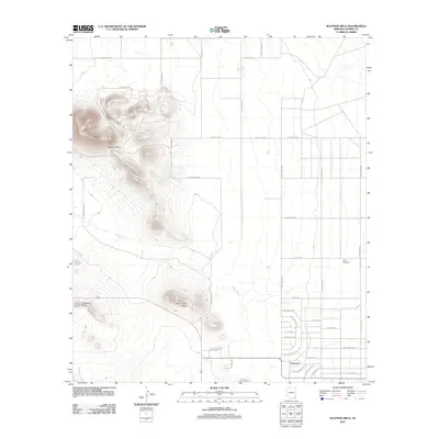
 1996 Sulphur Hills2002 Print · USGSCochise County's desert landscape is captured here in the mid-nineties, showing the settlement of Sunizona and the surrounding valley. Local historians can trace agricultural and mining footprints through various Wells, a Mine Shaft, and the Cem.
 - 2011 Map of Sulphur Hills, 2011 Print
 2011 Sulphur Hills2011 Print · USGSCovers Sunizona, including Cochise County, United States, and other nearby areas
 - 2014 Map of Sulphur Hills, 2014 Print
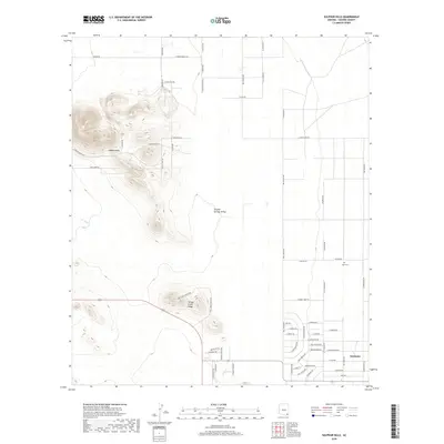
 2014 Sulphur Hills2014 Print · USGSCovers Sunizona, including Cochise County, United States, and other nearby areas
 - 2018 Map of Sulphur Hills, 2018 Print
 2018 Sulphur Hills2018 Print · USGSCovers Sunizona, including Cochise County, United States, and other nearby areas
 - 2021 Map of Sulphur Hills, 2021 Print
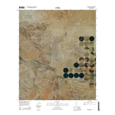
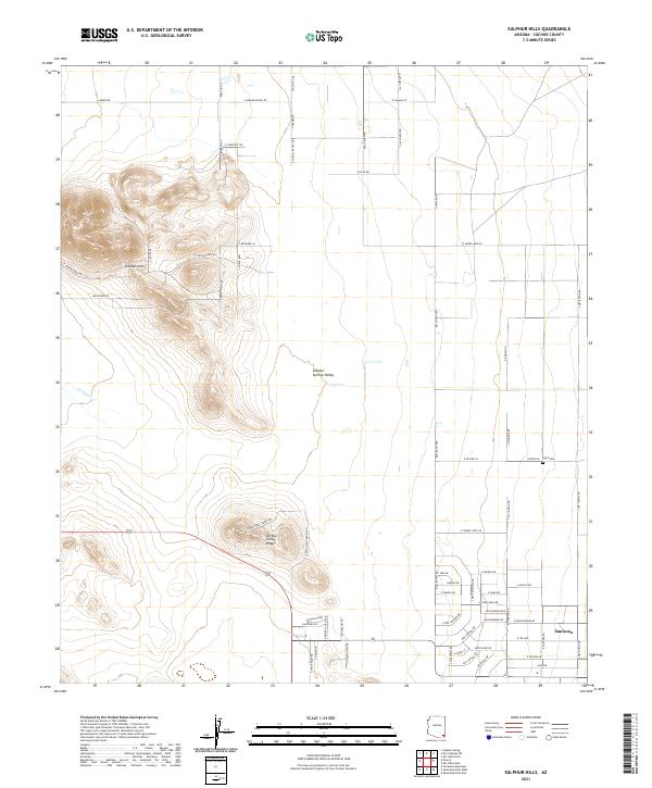 2021 Sulphur Hills2021 Print · USGSCochise County’s desert ranchlands are captured here in recent years, showing the intersection of remote settlements and rugged geography. Genealogists and historians can locate Sunizona and the Light Cem, or trace ranching footprints along E Parker Ranch Rd and S West Well Ranch Rd.
End of results
Showing maps 1-14 of 14
Frequently asked questions
- What are the different types of historical maps available for Sunizona?
- What is the oldest map of Sunizona?
- Where can I purchase historical maps of Sunizona for my home or office?
- Where can I download high-res historical maps of Sunizona?
- Are there historical topographic maps available for Sunizona?
- Is there historical aerial imagery available for Sunizona?
- Where are historical maps of Sunizona sourced from?