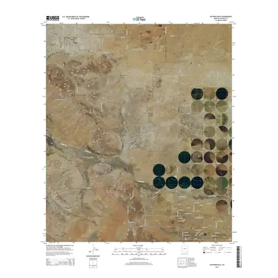
2014 Map of Sulphur Hills
USGS Topo · Published 2014About this map
Sunizona anchors the southeast corner of this desert landscape, where the residential grid meets the open terrain of the Sulphur Springs Valley. The area is defined by the prominent Sulphur Hills and the sloping Turkey Creek Ridge, landforms that influence the path of intermittent watercourses like Turkey Cr. A network of ranch roads and residential streets, including Pete Kitchens Dr and Bell Ranch Rd, spiderwebs across the basin floor, reflecting the local transition from traditional ranching to rural residential development.
Find a feature on this map
69 named features on this map. Tap any name to fly to it.
Don’t see what you’re looking for? This feature index may not catch every label — zoom into the map to look around manually.
Map Details
Editions of this 2014 Sulphur Hills Map
This is the sole edition of this map. No revisions or reprints were ever made.
Other maps of this area

1916 · Pearce
USGS Topo · 1:125,000

1922 · Willcox
USGS Topo · 1:125,000

1926 · Light
USGS Topo · 1:62,500

1926 · Courtland
USGS Topo · 1:62,500

1943 · Dos Cabezas
USGS Topo · 1:62,500

1943 · Cochise
USGS Topo · 1:62,500

1954 · Silver City
USGS Topo · 1:250,000

1955 · Douglas
USGS Topo · 1:250,000

1957 · Dos Cabezas
USGS Topo · 1:62,500

1958 · Silver City
USGS Topo · 1:250,000