
1943 Map of Cochise
USGS Topo · Published 1943About this map
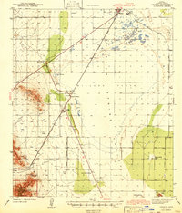
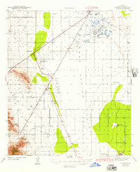
Willcox Playa dominates the center of this high-desert landscape, a vast dry lake bed marking the heart of the Sulphur Spring Valley in the early 1940s. The region is defined by a sparse but resilient network of cattle ranches and mining operations, with the Southern Pacific railroad providing the vital transportation link between the town of Willcox and the settlement of Cochise. To the southwest, the terrain rises sharply into the Dragoon Mountains, where the Golden Rule Mine and Red Bird Mine point to the area's mineral extraction history. Evidence of mid-century infrastructure is visible near the tracks, including an Airway Beacon, Radio Range Beacon, and a Landing Field, reflecting the era's growing aviation network. Local family history is grounded in sites like Steele Ranch, Flanders Ranch, and the Sulphur Spring School at the edge of the Kansas Settlement Road.
Find a feature on this map
30 named features on this map. Tap any name to fly to it.
Don’t see what you’re looking for? This feature index may not catch every label — zoom into the map to look around manually.
Map Details
Editions of this 1943 Cochise Map
3 editions found
Other maps of this area

1915 · Benson
USGS Topo · 1:125,000

1916 · Pearce
USGS Topo · 1:125,000

1922 · Willcox
USGS Topo · 1:125,000

1922 · St. David
USGS Topo · 1:62,500

1926 · Light
USGS Topo · 1:62,500

1926 · Courtland
USGS Topo · 1:62,500

1943 · Dos Cabezas
USGS Topo · 1:62,500

1943 · Willcox
USGS Topo · 1:62,500

1943 · Benson
USGS Topo · 1:125,000

1943 · Dragoon
USGS Topo · 1:62,500