Old Maps of Willcox, Arizona for Hiking & Exploration
Hike through history with 13 historic maps of Willcox. Explore old trails, ghost towns, and forgotten backroads — perfect for outdoor adventurers and local explorers.
- Rediscover forgotten places: Map out old mining camps, roads, and footpaths that no longer exist on modern maps.
- Layer with modern tools: Combine with LiDAR or satellite views to plan hikes through historical terrain.
- Made for exploration: Popular among hikers, overlanders, and local history lovers.
Use these maps to find adventure and explore the hidden past of Willcox.
Willcox, AZ maps
(13)- 1922 Map of Willcox
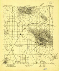 1922 Willcox1922 Print · USGSCochise County’s high-desert ranching and mining heartland is captured in the early 1920s as a thriving railroad hub. Genealogists can trace family holdings and rail stops across the basin, from Willcox and Servoss to the Mascot Mine and Circle I Ranch.
 - 1943 Map of Willcox
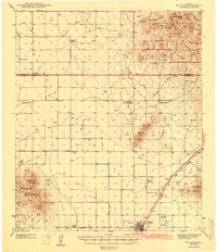 1943 Willcox1943 Print · USGSIn the early 1940s, the cattle ranches and rail lines of southeastern Arizona defined the high desert landscape. Genealogists and researchers can locate family sites like the Brookerson Ranch, follow the Southern Pacific tracks through Raso, or find the Stewart Sch.3 unique versions available
 - 1954 Map of Silver City, 1967 Print
 1954 Silver City1967 Print · USGSSoutheast Arizona and southwest New Mexico meet in this mid-century survey of the high desert and mountain mining districts. Local researchers can trace the rail lines through Lordsburg, the silver operations at Ash Peak Mines, and the limits of Fort Bayard Military Reservation.4 unique versions available
 - 1958 Map of Silver City
 1958 Silver City1958 Print · USGSSouthwestern New Mexico and eastern Arizona appear here in the mid-1950s, a period of intensive mining and rail activity. Trace the routes of the Southern Pacific RR through Lordsburg or locate historic operations at the Chino Mine and Santa Rita.
 - 1958 Map of Willcox, 1959 Print
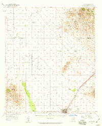 1958 Willcox1959 Print · USGSThe ranching and rail hub of Willcox is captured here in the late fifties, showcasing a landscape of high desert basins and mountain passes. Genealogists and historians can trace legacy cattle operations like Palmer Ranch and family sites such as the Drury settlement.3 unique versions available
 - 1962 Map of Silver City
 1962 Silver City1962 Print · USGSThe high desert borderlands of New Mexico and Arizona come alive in this early sixties survey. Genealogists and historians can trace the mining economy through the Chino Mine, follow the rail routes of the Southern Pacific, or locate settlements like Virden and Bayard.
 - 1985 Map of Willcox North
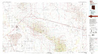
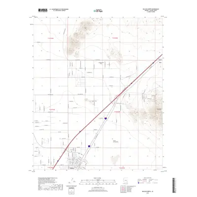
 1985 Willcox North1985 Print · USGSWillcox and its northern desert surroundings are captured in the mid-eighties as the town expanded near the Alkali Flat. Local historians can trace the Southern Pacific rail line to the stop at Raso or locate landmarks like Radio Tower KHIL.2 unique versions available
 - 1994 Map of Willcox
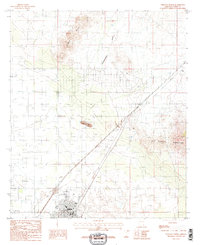
 1994 Willcox1994 Print · USGSSoutheast Arizona in the mid-nineties shows a landscape defined by expansive desert basins and rugged sky islands. Genealogists and historians can trace the rail corridor of the Southern Pacific through Willcox, Bowie, and the Kansas Settlement.2 unique versions available
 - 1996 Map of Willcox North, 2002 Print
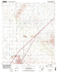 1996 Willcox North2002 Print · USGSWillcox and its surrounding desert basin are captured here in the late 1990s as the community expanded along the rail corridor. Researchers can trace the development of Willcox and nearby Mobile Home Park, or locate mining history at the Spike E Hills and numerous Prospect sites.
 - 2011 Map of Willcox North, 2011 Print
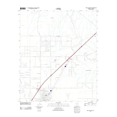 2011 Willcox North2011 Print · USGSCovers Willcox, including Cochise County, United States, and other nearby areas
 - 2014 Map of Willcox North, 2014 Print
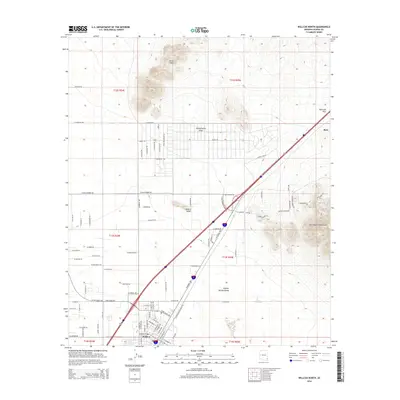 2014 Willcox North2014 Print · USGSCovers Willcox, including Cochise County, United States, and other nearby areas
 - 2018 Map of Willcox North, 2018 Print
 2018 Willcox North2018 Print · USGSCovers Willcox, including Cochise County, United States, and other nearby areas
 - 2021 Map of Willcox North, 2021 Print
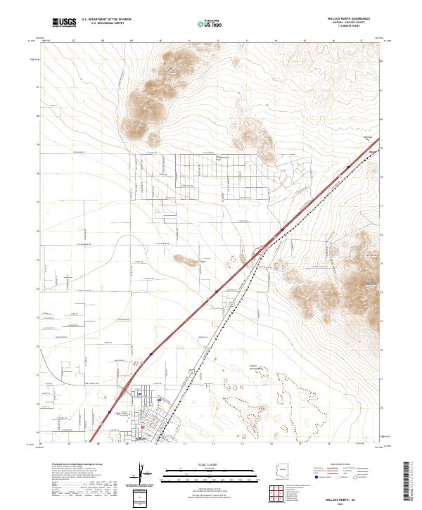 2021 Willcox North2021 Print · USGSNorthern Cochise County unfolds in the 2020s where the valley floor meets the Dos Cabezas Mountains. Genealogists and historians can trace local development near Raso, the Cochise College - Willcox Center, and the strategic corridor of Railroad Pass.
End of results
Showing maps 1-13 of 13
Frequently asked questions
- What are the different types of historical maps available for Willcox?
- What is the oldest map of Willcox?
- Where can I purchase historical maps of Willcox for my home or office?
- Where can I download high-res historical maps of Willcox?
- Are there historical topographic maps available for Willcox?
- Is there historical aerial imagery available for Willcox?
- Where are historical maps of Willcox sourced from?