Old Maps of Black Falls, Arizona for Genealogy
Trace your family roots with 16 historic maps of Black Falls. These high-res maps reveal old neighborhoods, homesites, landmarks, and streets — helping you uncover where your ancestors lived and how the area evolved over time.
- Explore historic neighborhoods: Identify where your relatives may have lived in the 1800s or 1900s.
- Compare maps over time: Trace the changes in streets, buildings, and landmarks for multi-generational research.
- Perfect for genealogy & ancestry research: Used by family historians and researchers to map out lineage and migration.
These maps are an incredible resource for exploring your personal connection to Black Falls's past.
Black Falls, AZ maps
(16)- 1886 Map of San Francisco Mtns
 1886 San Francisco Mtns1886 Print · USGSNorthern Arizona's high desert and peaks are documented here just as the rail era transformed the territory. Trace the early path of the Atlantic and Pacific Railroad through Flagstaff and find landmarks like Fort Moroni and Grand Falls.
 - 1891 Map of San Francisco Mtns
 1891 San Francisco Mtns1891 Print · USGSNorthern Arizona's high country during the territorial era is defined by the arrival of the railroad and the growth of mountain settlements. Trace the early layout of Flagstaff and follow the Atlantic and Pacific Railroad past Fort Moroni and through the San Francisco Mountains.
 - 1894 Map of San Francisco Mtns
 1894 San Francisco Mtns1894 Print · USGSNorthern Arizona's high timber and volcanic peaks appear here in the late nineteenth century as the railroad transforms the plateau. Trace early settlements like Flagstaff and Cosnino or locate territorial landmarks like Fort Moroni and Le Roux Spring.5 unique versions available
 - 1899 Map of San Francisco Mtns, 1922 Print
 1899 San Francisco Mtns1922 Print · USGSNorthern Arizona's high timber and desert plateau come alive in this late nineteenth-century survey. You can trace the early growth of Flagstaff, find the outpost at Fort Moroni, and follow the Santa Fe Pacific Railroad to Canyon Diablo.
 - 1947 Map of Flagstaff, 1948 Print
 1947 Flagstaff1948 Print · USGSThe Arizona high country and the Painted Desert converge in this post-war survey. Researchers can trace the ancient mesa villages of Walpi and Oraibi, the early roads of Flagstaff, and landmarks like Sunset Crater National Monument.2 unique versions available
 - 1954 Map of Flagstaff, 1966 Print
 1954 Flagstaff1966 Print · USGSNorthern Arizona in the mid-fifties shows a landscape of volcanic peaks and ancestral mesa villages linked by the iconic U.S. 66. Trace the path of the Atchison Topeka and Santa Fe through Winslow or explore the settlements of Old Oraibi and Kearns Canyon.3 unique versions available
 - 1955 Map of Black Falls 4 SE, 1957 Print
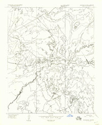 1955 Black Falls 4 SE1957 Print · USGSCoconino County in the mid-fifties is captured here as a sparsely settled desert landscape within the Navajo Indian Reservation. Researchers can trace the winding path of Dinnebito Wash and locate vital water sources like the southern Reservoir and the heights of Newberry Mesa.
 - 1958 Map of Flagstaff
 1958 Flagstaff1958 Print · USGSNorthern Arizona in the late fifties is captured here during the heyday of Route 66 and the expansion of the high desert rail corridors. Researchers can trace historic mesa settlements like Old Oraibi or follow the path of the Atchison Topeka and Santa Fe through Flagstaff and Winslow.
 - 1960 Map of Flagstaff
 1960 Flagstaff1960 Print · USGSNorthern Arizona at the dawn of the sixties shows a landscape defined by mesa-top Hopi villages and the burgeoning railroad hub of Flagstaff. Trace the path of U.S. 66 past Meteor Crater or locate historic trading posts like Gray Mountain Trading Post.2 unique versions available
 - 1962 Map of Flagstaff
 1962 Flagstaff1962 Print · USGSNorthern Arizona in the early sixties showcases the intersection of Tribal lands, national forests, and the busy Route 66 corridor. Trace historic roadside stops and landmarks like Meteor Crater, the Buck-Rodgers Trading Post, and the ancient village of Old Oraibi.
 - 1969 Map of White Water Tank, 1972 Print
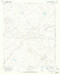 1969 White Water Tank1972 Print · USGSCoconino County was a landscape of shared boundaries and vital water tanks in the late sixties. Researchers can trace the Joint Use Area Bdy and locate landmarks like the Black Falls Bible Church and Falls Springs.
 - 1982 Map of Cameron, 1983 Print
 1982 Cameron1983 Print · USGSCoconino County and the Navajo Nation meet in this early 1980s landscape of high plateaus and ancient ruins. Researchers can locate remote landmarks like Lomaki Ruin and Shadow Mtn or trace the winding path of the Little Colorado River.
 - 2011 Map of White Water Tank, 2011 Print
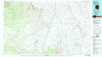
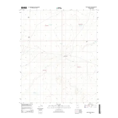
 2011 White Water Tank2011 Print · USGSCovers Black Falls, including Coconino County, United States, and other nearby areas
 - 2014 Map of White Water Tank, 2014 Print
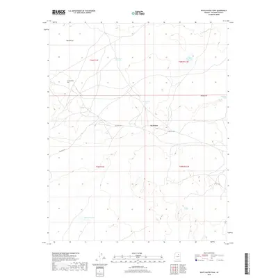
 2014 White Water Tank2014 Print · USGSCovers Black Falls, including Coconino County, United States, and other nearby areas
 - 2018 Map of White Water Tank, 2018 Print
 2018 White Water Tank2018 Print · USGSCovers Black Falls, including Coconino County, United States, and other nearby areas
 - 2021 Map of White Water Tank, 2021 Print
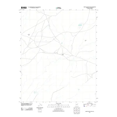
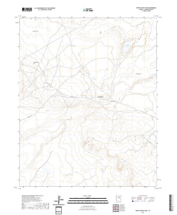 2021 White Water Tank2021 Print · USGSCoconino County’s high desert landscape is documented here in the early 2020s, centered on the community of Tiis Holoni. Researchers can trace the network of vital water sources and landforms like Pottery Hill, Horse Water Tanks, and Dinnebito Wash.
End of results
Showing maps 1-16 of 16
Frequently asked questions
- What are the different types of historical maps available for Black Falls?
- What is the oldest map of Black Falls?
- Where can I purchase historical maps of Black Falls for my home or office?
- Where can I download high-res historical maps of Black Falls?
- Are there historical topographic maps available for Black Falls?
- Is there historical aerial imagery available for Black Falls?
- Where are historical maps of Black Falls sourced from?