Old Maps of Cow Springs, Arizona for Academic Research
Study the evolution of Cow Springs with 12 high-resolution historic maps. Whether you're teaching, researching, or modeling changes in land use, these maps provide essential visual documentation of urban, environmental, and geographic change.
- Analyze long-term change: Track patterns in development, transportation, and natural features.
- Ideal for environmental or urban studies: Support academic projects with primary historical map data.
- Use in the classroom or lab: Educators and researchers rely on these maps to bring historical context to life.
These maps are a powerful tool for teaching, research, and visualizing how Cow Springs has changed over the decades.
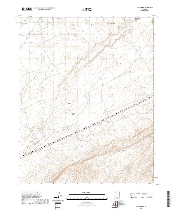
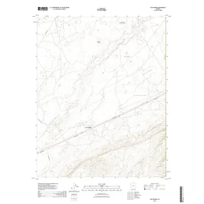
Cow Springs, AZ maps
(12)- 1883 Map of Marsh Pass
 1883 Marsh Pass1883 Print · USGSNortheastern Arizona was a complex labyrinth of mesas and canyons when this survey was conducted in the early 1880s. Researchers can locate critical desert water sources like Na-pai-bi-to Spring Lake and landmarks like Aga-thla Needle.
 - 1892 Map of Marsh Pass
 1892 Marsh Pass1892 Print · USGSNortheastern Arizona and the Navajo lands are shown in the late nineteenth century as a series of immense mesas and critical water sources. You can trace early trails through Marsh Pass and locate remote landmarks like the Agathla Needle or Chil-Chi-Vi-To Spring.4 unique versions available
 - 1956 Map of Marble Canyon, 1964 Print
 1956 Marble Canyon1964 Print · USGSNorthern Arizona and the borderlands of Utah are mapped here in the mid-fifties, showing a landscape defined by traditional trading posts and early uranium mining. Trace old routes between Tuba City and Kayenta, and locate historic sites like Lees Ferry and Inscription House Trading Post.4 unique versions available
 - 1959 Map of Marble Canyon
 1959 Marble Canyon1959 Print · USGSNorthern Arizona in the late fifties is a vast landscape of tribal lands and desert plateaus defined by the carving of the Colorado River. Trace family roots and regional history at Tuba City, the Chilchinbito Trading Post, or the ancient Inscription House Ruin.
 - 1961 Map of Marble Canyon
 1961 Marble Canyon1961 Print · USGSThe northern Arizona desert in the early sixties reveals a landscape of tribal lands and canyon crossings. Trace the old river life at Lees Ferry, find the Uranium mill at Tuba City, and locate the iconic Elephant Feet landmarks.
 - 1970 Map of Cow Springs, 1972 Print
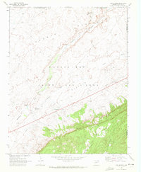 1970 Cow Springs1972 Print · USGSCoconino County was a crossroads of tradition and transition in the early 1970s, as shown by the settlements and land use patterns here. Researchers can trace the heritage of the Old Cow Springs Trading Post, the waters of Kai Si Kito, and the layout of Masitoh.
 - 1983 Map of Pinon
 1983 Pinon1983 Print · USGSThe Navajo and Hopi heartlands are shown in detail during the early eighties, capturing the intricate topography of the high mesas. Researchers can locate remote settlements like Pinon and Red Lake, while tracing ancient landmarks such as White Mesa and numerous Ruin sites.2 unique versions available
 - 2011 Map of Cow Springs, 2011 Print
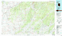
 2011 Cow Springs2011 Print · USGSCovers Cow Springs, including Coconino County, Navajo County, and other nearby areas
 - 2014 Map of Cow Springs, 2014 Print
 2014 Cow Springs2014 Print · USGSCovers Cow Springs, including Coconino County, Navajo County, and other nearby areas
 - 2018 Map of Cow Springs, 2018 Print
 2018 Cow Springs2018 Print · USGSCovers Cow Springs, including Coconino County, Navajo County, and other nearby areas
 - 2021 Map of Cow Springs, 2021 Print
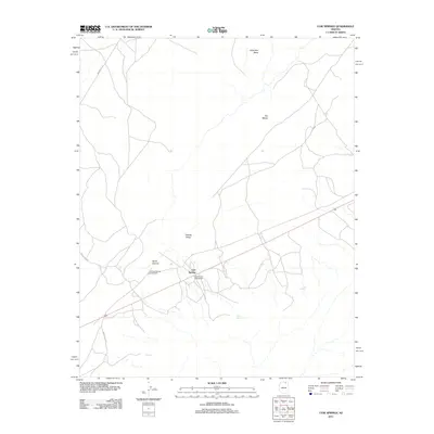
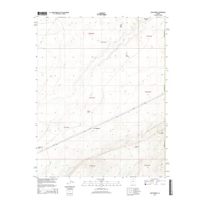
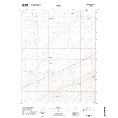
 2021 Cow Springs2021 Print · USGSCoconino County’s high desert landscapes are documented here in the early twenty-first century as they transition from valley floors to high mesas. Researchers can trace the path of the Navajo Trl past landmarks like Cow Springs and the secluded waters of Reed Spring.
 - 2026 Map of Cow Springs, 2026 Print
 2026 Cow Springs2026 Print · USGSCovers Cow Springs, including Coconino County, Navajo County, and other nearby areas
End of results
Showing maps 1-12 of 12
Top cities near Cow Springs
Frequently asked questions
- What are the different types of historical maps available for Cow Springs?
- What is the oldest map of Cow Springs?
- Where can I purchase historical maps of Cow Springs for my home or office?
- Where can I download high-res historical maps of Cow Springs?
- Are there historical topographic maps available for Cow Springs?
- Is there historical aerial imagery available for Cow Springs?
- Where are historical maps of Cow Springs sourced from?