Old Maps of Forest Ridge, Flagstaff for Genealogy
Trace your family roots with 14 historic maps of Forest Ridge. These high-res maps reveal old neighborhoods, homesites, landmarks, and streets — helping you uncover where your ancestors lived and how the area evolved over time.
- Explore historic neighborhoods: Identify where your relatives may have lived in the 1800s or 1900s.
- Compare maps over time: Trace the changes in streets, buildings, and landmarks for multi-generational research.
- Perfect for genealogy & ancestry research: Used by family historians and researchers to map out lineage and migration.
These maps are an incredible resource for exploring your personal connection to Forest Ridge's past.
Forest Ridge, Flagstaff maps
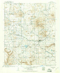
(14)- 1886 Map of San Francisco Mtns
 1886 San Francisco Mtns1886 Print · USGSCovers Forest Ridge, including Flagstaff, Doney Park, and other nearby areas
 - 1891 Map of San Francisco Mtns
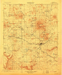
 1891 San Francisco Mtns1891 Print · USGSCovers Forest Ridge, including Flagstaff, Doney Park, and other nearby areas
 - 1894 Map of San Francisco Mtns
 1894 San Francisco Mtns1894 Print · USGSCovers Forest Ridge, including Flagstaff, Doney Park, and other nearby areas5 unique versions available
 - 1899 Map of San Francisco Mtns, 1922 Print
 1899 San Francisco Mtns1922 Print · USGSCovers Forest Ridge, including Flagstaff, Doney Park, and other nearby areas
 - 1908 Map of Flagstaff, 1960 Print
 1908 Flagstaff1960 Print · USGSCovers Forest Ridge, including Flagstaff, Doney Park, and other nearby areas
 - 1912 Map of Flagstaff
 1912 Flagstaff1912 Print · USGSCovers Forest Ridge, including Flagstaff, Doney Park, and other nearby areas5 unique versions available
 - 1947 Map of Flagstaff, 1948 Print
 1947 Flagstaff1948 Print · USGSCovers Forest Ridge, including Flagstaff, Winslow, and other nearby areas2 unique versions available
 - 1954 Map of Flagstaff, 1966 Print
 1954 Flagstaff1966 Print · USGSCovers Forest Ridge, including Flagstaff, Winslow, and other nearby areas3 unique versions available
 - 1958 Map of Flagstaff
 1958 Flagstaff1958 Print · USGSCovers Forest Ridge, including Flagstaff, Winslow, and other nearby areas
 - 1960 Map of Flagstaff
 1960 Flagstaff1960 Print · USGSCovers Forest Ridge, including Flagstaff, Winslow, and other nearby areas2 unique versions available
 - 1962 Map of Flagstaff
 1962 Flagstaff1962 Print · USGSCovers Forest Ridge, including Flagstaff, Winslow, and other nearby areas
 - 1962 Map of Flagstaff East, 1965 Print
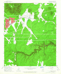 1962 Flagstaff East1965 Print · USGSCovers Forest Ridge, including Flagstaff, Coconino County, and other nearby areas6 unique versions available
 - 1982 Map of Flagstaff, 1983 Print
 1982 Flagstaff1983 Print · USGSCovers Forest Ridge, including Flagstaff, Doney Park, and other nearby areas2 unique versions available
 - 2021 Map of Flagstaff East, 2021 Print
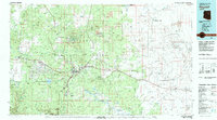
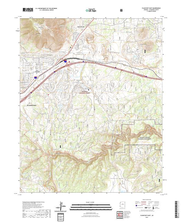 2021 Flagstaff East2021 Print · USGSCovers Forest Ridge, including Flagstaff, Coconino County, and other nearby areas
End of results
Showing maps 1-14 of 14
Frequently asked questions
- What are the different types of historical maps available for Forest Ridge?
- What is the oldest map of Forest Ridge?
- Where can I purchase historical maps of Forest Ridge for my home or office?
- Where can I download high-res historical maps of Forest Ridge?
- Are there historical topographic maps available for Forest Ridge?
- Is there historical aerial imagery available for Forest Ridge?
- Where are historical maps of Forest Ridge sourced from?