Old Maps of Valle, Arizona for Genealogy
Trace your family roots with 14 historic maps of Valle. These high-res maps reveal old neighborhoods, homesites, landmarks, and streets — helping you uncover where your ancestors lived and how the area evolved over time.
- Explore historic neighborhoods: Identify where your relatives may have lived in the 1800s or 1900s.
- Compare maps over time: Trace the changes in streets, buildings, and landmarks for multi-generational research.
- Perfect for genealogy & ancestry research: Used by family historians and researchers to map out lineage and migration.
These maps are an incredible resource for exploring your personal connection to Valle's past.
Valle, AZ maps
(14)- 1886 Map of Chino
 1886 Chino1886 Print · USGSThe northern Arizona frontier comes to life in the 1880s as the rail line pushes across the high desert and mountain plateaus. Researchers can trace early water sources and settlements like Garland Ranch, Kerlin Well, and the historic Beale Wagon road.2 unique versions available
 - 1891 Map of Chino
 1891 Chino1891 Print · USGSIn the high country of northern Arizona during the late nineteenth century, the arrival of the railroad began to reshape the old frontier. Trace the route of the historic Beale Wagon road and find early mountain settlements and rail stops like Ash Fork, Williams, and Garland Ranch.4 unique versions available
 - 1948 Map of Williams
 1948 Williams1948 Print · USGSNorthern Arizona is captured here during the post-war era of roadside travel and heavy rail transport along the Santa Fe line. Researchers can trace the path of Route 66 through settlements like Seligman, Valentine, and Hackberry while exploring the vast terrain of the Hualpai Indian Reservation.2 unique versions available
 - 1954 Map of Williams, 1972 Print
 1954 Williams1972 Print · USGSThe high plateau of Northern Arizona is captured here during the mid-fifties, showing the rail-and-road corridor before the interstate era. You can trace family roots through remote railroad stops like Audley and Pica or locate early landmarks such as Grand Canyon Caverns and Frazier Wells.
 - 1956 Map of Williams, 1963 Print
 1956 Williams1963 Print · USGSNorthern Arizona in the mid-fifties reveals a landscape shaped by the Atchison Topeka and Santa Fe railroad and the iconic Highway 66. Trace the route of early travelers through Peach Springs, Seligman, and Ash Fork, or find remote sites like the Music Mountain Mine (Gold).3 unique versions available
 - 1960 Map of Williams
 1960 Williams1960 Print · USGSNorthern Arizona in the mid-twentieth century was defined by its massive canyons and the vital rail line connecting its remote ranches. Genealogists and historians can trace the development of Peach Springs, the high-altitude Bill Williams Mountain, and isolated outposts like Diamond Bar Ranch.
 - 1961 Map of Williams
 1961 Williams1961 Print · USGSNorthern Arizona in the mid-fifties reveals a high-desert landscape of rail towns and deep canyons along the Atchison Topeka and Santa Fe. Researchers can trace old Route 66 through Peach Springs, Seligman, and Ash Fork, or find remote sites like Music Mountain Mine.
 - 1962 Map of Valle, 1964 Print
 1962 Valle1964 Print · USGSCoconino County’s high plateau is captured here in the early sixties, centered on the transit junction at Valle. Researchers can trace the Atchison Topeka and Santa Fe line as it passes Quivero, along with dozens of historic stock tanks like Dance Tank and Troy Tank.
 - 1983 Map of Valle
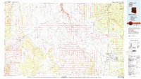 1983 Valle1983 Print · USGSThe Coconino Plateau in the early eighties shows a landscape of vital transit corridors and remote outposts. Trace the path of the Atchison Topeka and Santa Fe railroad or locate isolated landmarks like Rose Well Camp and the Copper Queen Mine.3 unique versions available
 - 1989 Map of Valle Tank, 1990 Print
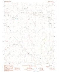 1989 Valle Tank1990 Print · USGSCoconino County in the late eighties reveals a landscape where transportation and ranching intersect on the Arizona plateau. Researchers can trace the water-management network of Miller Wash and find landmarks like Valle Siding and the Airway Beacon.
 - 2011 Map of Valle Tank, 2011 Print
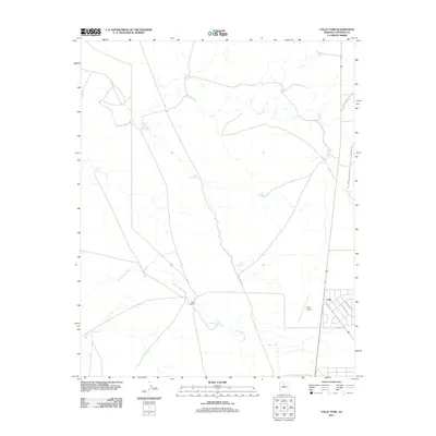 2011 Valle Tank2011 Print · USGSCoconino County ranching and transit are captured here in the early twenty-first century as the desert landscape meets the road. Trace the intersection of rail and aviation at Valle Airport and Valle Siding, or locate remote water features like Wagner Tank and Rio Tank.
 - 2014 Map of Valle Tank, 2014 Print
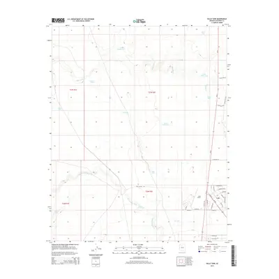 2014 Valle Tank2014 Print · USGSThe high desert settlement of Valle is captured here in the early twenty-first century as a remote residential and aviation hub. Researchers can trace the development of the neighborhood grid near Valle Airport and locate scattered water sources like Sheep Tank and Spring Valley Wash.
 - 2018 Map of Valle Tank, 2018 Print
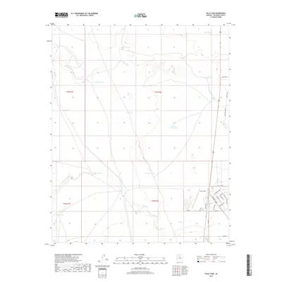 2018 Valle Tank2018 Print · USGSValle and the surrounding High Plateau are documented here during the late twenty-teens, showing the intersection of aviation and ranching. Trace the residential growth near Valle Airport or locate essential water sources like Wagner Tank and Miller Wash.
 - 2021 Map of Valle Tank, 2021 Print
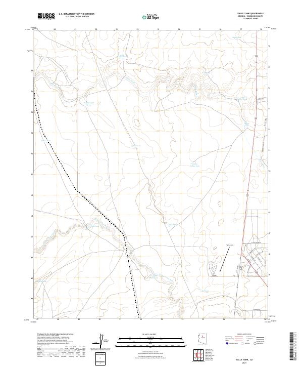 2021 Valle Tank2021 Print · USGSNorthern Arizona's high desert landscape comes into focus in this recent survey of the Valle area. Researchers can trace modern settlement patterns and aviation infrastructure at Valle Airport or locate essential ranching features like Wagner Tank and Spring Valley Wash.
End of results
Showing maps 1-14 of 14
Frequently asked questions
- What are the different types of historical maps available for Valle?
- What is the oldest map of Valle?
- Where can I purchase historical maps of Valle for my home or office?
- Where can I download high-res historical maps of Valle?
- Are there historical topographic maps available for Valle?
- Is there historical aerial imagery available for Valle?
- Where are historical maps of Valle sourced from?