Old Maps of The Water's Edge, Chandler
Explore 24 old maps of The Water's Edge, spanning from 1913 to today. These high-resolution historic maps reveal how streets, neighborhoods, landmarks, and natural features evolved over time — perfect for genealogy, metal detecting, research, and local history exploration.
What you can do with these maps:
- See how The Water's Edge changed over time: Compare historical maps to modern-day views to trace roads, homesites, rail lines & more.
- View detailed metadata: Each map includes creators, publishers, year, scale, and archive source.
- Overlay maps with satellite & LiDAR: Visualize the past alongside modern tools to explore terrain & human change.
- Trusted historical sources: Maps sourced from the USGS, Library of Congress, and other archives.
- Access maps your way: View online, download high-res files, or order prints for personal or research use.
Start exploring old maps of The Water's Edge to uncover forgotten places, hidden landmarks, and the deep history beneath your feet.
The Water's Edge, Chandler maps
(24)- 1913 Map of Mesa, 1955 Print
 1913 Mesa1955 Print · USGSMaricopa County's irrigation and early rail networks are meticulously detailed in this pre-war survey of the Salt River Valley. Genealogists can trace family names at local landmarks like Alma School, the settlement of Creamery, and the Kyrene School.
 - 1914 Map of Gila Butte
 1914 Gila Butte1914 Print · USGSThe Gila River valley in the early twentieth century shows a landscape defined by desert trading posts and the rise of managed irrigation. Researchers can locate family roots and early commerce at the Sweetwater Store Indian Trading Post, Snaketown, and the Casa Blanca Indian School.
 - 1915 Map of Mesa
 1915 Mesa1915 Print · USGSMaricopa County's agricultural heartland was defined by a complex web of gravity-fed water systems before the era of modern expansion. Genealogists and historians can trace early settlements and school districts like Kyrene School, Falfa, and the Arizona State Normal School.2 unique versions available
 - 1917 Map of Gila Butte
 1917 Gila Butte1917 Print · USGSThe Pinal County desert comes into focus during the early twentieth century as irrigation and rail lines began to reshape the Gila River valley. Genealogists and historians can locate early trading hubs like the North Line Trading Post and tribal landmarks including Snaketown and the Casa Blanca Indian School.2 unique versions available
 - 1952 Map of Gila Butte NW, 1957 Print
 1952 Gila Butte NW1957 Print · USGSThe Gila River valley in the early fifties shows a landscape balancing desert geography with growing military and tribal infrastructure. Genealogists can locate residents near Snaketown, the St Francis Borgia Ch, and the Goodyear Air Force Auxiliary Airfield.3 unique versions available
 - 1952 Map of Guadalupe, 1957 Print
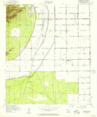 1952 Guadalupe1957 Print · USGSThe Salt River Valley's agricultural and industrial growth is captured here in the early fifties. Genealogists and historians can trace old settlements like Guadalupe and West Chandler alongside the Kyrene Steam Generating Plant and Southern Pacific rail line.6 unique versions available
 - 1952 Map of Gila Butte, 1960 Print
 1952 Gila Butte1960 Print · USGSCentral Arizona's desert valleys show a distinct transition during the early fifties as irrigation canals reshaped the Gila River basin. Genealogists can trace family footprints at Bapchule, St Peters Mission Sch, and the Goodyear Cemetery.2 unique versions available
 - 1952 Map of Mesa, 1960 Print
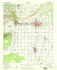 1952 Mesa1960 Print · USGSThe East Valley was a burgeoning network of irrigation canals and growing citrus towns in the early fifties. Genealogists and historians can trace old community centers like Sonora Town, Falfa, and Winfield Scott Sch alongside the early campus of Arizona State College.
 - 1954 Map of Mesa, 1968 Print
 1954 Mesa1968 Print · USGSCentral Arizona in the mid-fifties reveals the rapid growth of the Valley of the Sun alongside the deep-rooted mining districts of the eastern mountains. Genealogists and researchers can trace the expansion of Mesa and Chandler or locate legacy operations at Inspiration Mine and the Magma Arizona railroad.4 unique versions available
 - 1957 Map of Mesa
 1957 Mesa1957 Print · USGSCentral Arizona's desert valleys and high-mountain mining districts come alive in the mid-fifties. Researchers can trace the early layout of Mesa and Phoenix or locate remote sites like Inspiration Mine and Arizona State College.
 - 1958 Map of Mesa
 1958 Mesa1958 Print · USGSMid-century Arizona comes alive in this survey of the valley and high desert, where urban growth begins to transform the landscape. Genealogists and researchers can trace the rail-and-mine economy through Inspiration Mine and old stops like Rittenhouse and Magma.
 - 1960 Map of Mesa
 1960 Mesa1960 Print · USGSThe Salt River Valley and Superstition wilderness are captured here during a era of rapid post-war growth. Researchers can trace the mid-century footprints of Williams AF Base and Arizona State College or locate the deep-rock shafts of the Old Dominion Mine and Magma Mine.
 - 1964 Map of Mesa
 1964 Mesa1964 Print · USGSCentral Arizona in the mid-1960s reveals a landscape defined by rapid desert urbanization and a massive copper mining industry. Genealogists and historians can trace the growth of Phoenix or explore the mining camps and operations at Miami Mine and Magma Mine.
 - 1971 Map of Guadalupe, 1972 Print
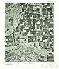 1971 Guadalupe1972 Print · USGSMaricopa County agriculture and rural life are captured in the early seventies before the surge of desert suburbanization. Genealogists and local researchers can trace the early footprints of Guadalupe and the farming settlements at Kyrene and Hightown.
 - 1971 Map of Gila Butte NW, 1972 Print
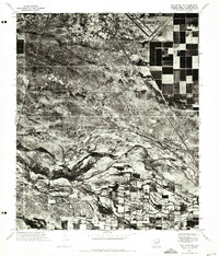 1971 Gila Butte NW1972 Print · USGSPinal and Maricopa counties appear in the early 1970s as a study in desert irrigation and military aviation. Researchers can trace the agricultural footprint around Bapchule, the natural course of the Gila River, and the Goodyear Air Force Auxiliary Airfield.
 - 1994 Map of Mesa
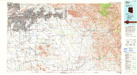 1994 Mesa1994 Print · USGSThe Phoenix and Mesa metropolitan area meets the desert wilderness in the 1990s as urban growth pushes toward the Superstition Mountains. Researchers can trace the path of the Southern Pacific railroad or locate heritage sites like Casa Grande Ruins Nat Mon and Williams Air Force Base.2 unique versions available
 - 2011 Map of Gila Butte NW, 2011 Print
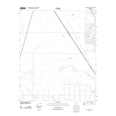 2011 Gila Butte NW2011 Print · USGSArizona's desert landscape south of Chandler is documented here in the early twenty-first century as modern suburbs began to edge toward ancestral lands. Researchers can trace the rural layout of Bapchule and Snaketown alongside the planned fairways of Sun Lakes Golf Course.
 - 2011 Map of Guadalupe, 2011 Print
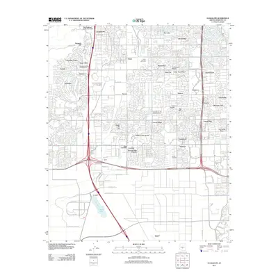 2011 Guadalupe2011 Print · USGSMaricopa County's rapid suburban transformation is captured here in the early twenty-first century as Phoenix and Tempe expand. Researchers can trace the development of established communities like Guadalupe and Ahwatukee alongside landmarks such as Kyrene Gin and Stellar Airpark.
 - 2014 Map of Guadalupe, 2014 Print
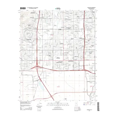 2014 Guadalupe2014 Print · USGSThe East Valley transitions from suburban sprawl to the Gila River Indian Community in the early twenty-first century. Genealogists and historians can trace neighborhood developments like Guadalupe and Ahwatukee alongside landmarks such as Stellar Airpark.
 - 2014 Map of Gila Butte NW, 2014 Print
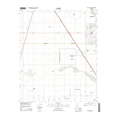 2014 Gila Butte NW2014 Print · USGSThe desert south of Phoenix in the 2010s shows a fascinating split between tribal heritage sites and rapid suburban development. Genealogists and historians can trace the traditional communities of Sacate Village and Bapchule or locate the protected grounds of Snaketown.
 - 2018 Map of Gila Butte NW, 2018 Print
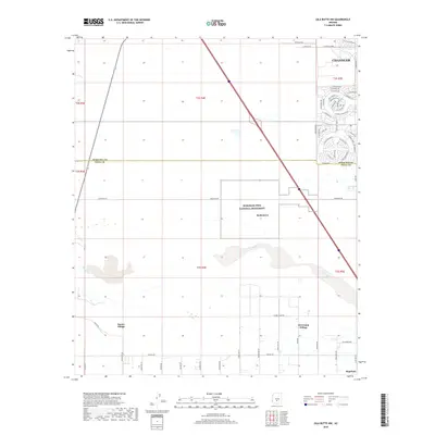 2018 Gila Butte NW2018 Print · USGSThe desert landscape south of Chandler is shown here in the late twenty-teens, where suburban growth meets the Hohokam Pima National Monument. Researchers can trace the Gila River through tribal lands to settlements like Sacate Village and Bapchule.
 - 2018 Map of Guadalupe, 2018 Print
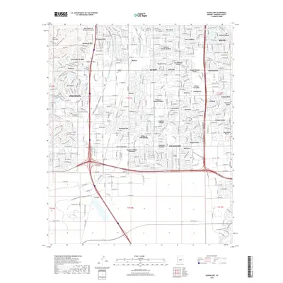 2018 Guadalupe2018 Print · USGSGreater Phoenix at the edge of the South Mountains shows a landscape of master-planned growth and desert canals. Genealogists and researchers can trace the development of Guadalupe, find local landmarks like Stellar Airpark, or map the paths of the Highline Canal and Western Canal.
 - 2021 Map of Gila Butte NW, 2021 Print
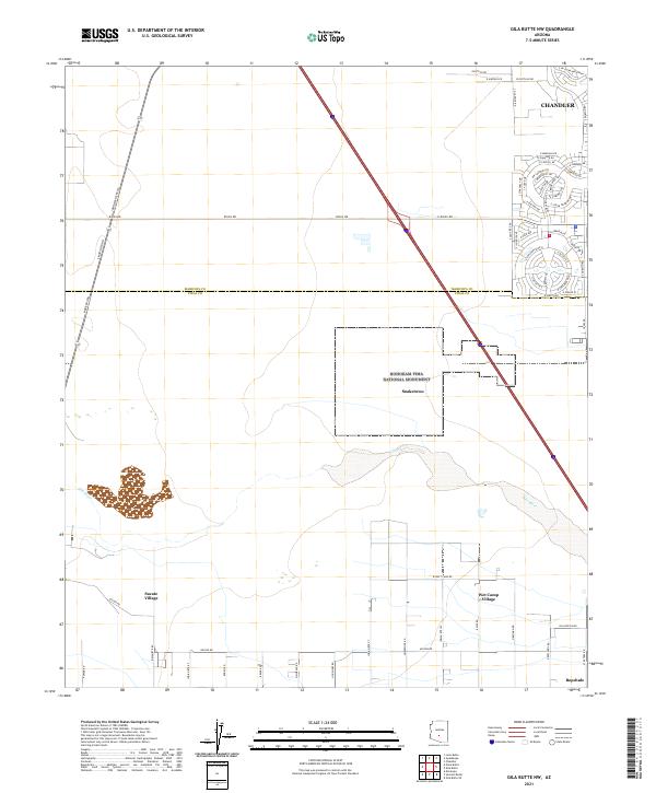 2021 Gila Butte NW2021 Print · USGSThe Gila River Indian Reservation meets the expanding edge of the East Valley in the early 2020s. Researchers can trace the heritage of Snaketown within the Hohokam Pima National Monument alongside settlements like Sacate Village and Bapchule.
 - 2021 Map of Guadalupe, 2021 Print
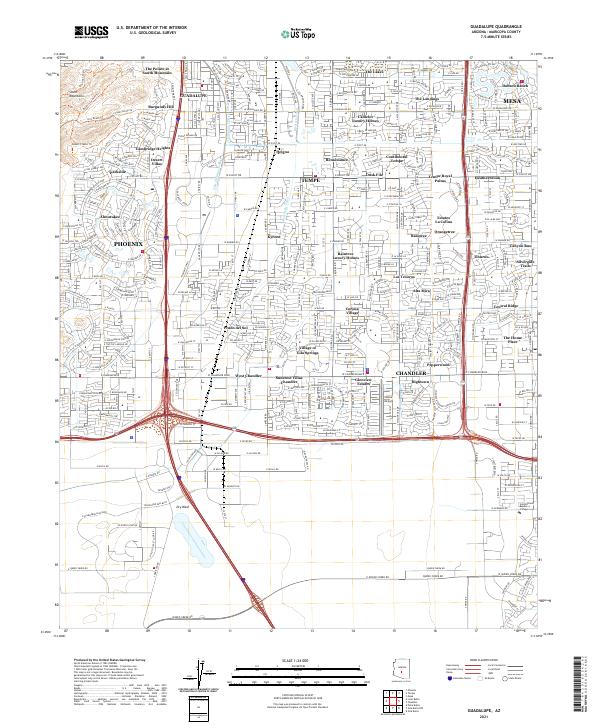 2021 Guadalupe2021 Print · USGSThe East Valley suburbs of Phoenix are shown in high detail during their twenty-first-century expansion. Researchers can trace local landmarks like the Highline Canal, the historic location of Kyrene, and the Village of Gila Springs within the dense urban grid.
End of results
Showing maps 1-24 of 24
Frequently asked questions
- What are the different types of historical maps available for The Water's Edge?
- What is the oldest map of The Water's Edge?
- Where can I purchase historical maps of The Water's Edge for my home or office?
- Where can I download high-res historical maps of The Water's Edge?
- Are there historical topographic maps available for The Water's Edge?
- Is there historical aerial imagery available for The Water's Edge?
- Where are historical maps of The Water's Edge sourced from?