Old Maps of Hassayampa Ranches, Maricopa County for Metal Detecting
Plan your next treasure hunt with 20 historic maps of Hassayampa Ranches. Find old homesites, ghost towns, trails, and gathering spots that may be lost to time — perfect for identifying promising metal detecting locations.
- Locate forgotten sites: Uncover places like long-lost settlements, abandoned rail lines, or gathering spots.
- Plan better hunts: Use map overlays combined with LiDAR or satellite views to narrow in on historically rich areas.
- Made for detectorists: Thousands of hobbyists use these maps to discover relics, coins, and hidden history.
Use these historic maps to boost your research and find new opportunities beneath the surface of Hassayampa Ranches.
Hassayampa Ranches, Maricopa County maps
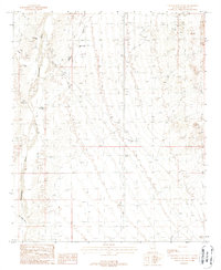
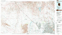
(20)- 1954 Map of Phoenix, 1964 Print
 1954 Phoenix1964 Print · USGSMid-century Arizona is captured here as the Phoenix metropolitan area begins its rapid expansion into the surrounding desert. Genealogists and historians can trace the development of agricultural hubs like Buckeye and Tolleson, or locate remote landmarks like the Vulture Mine and Nottbusch Cem.5 unique versions available
 - 1957 Map of Phoenix
 1957 Phoenix1957 Print · USGSGreater Phoenix and the central Arizona desert during the mid-fifties reveal a landscape of growing suburbs and active desert mines. Researchers can trace the legacy of local landmarks like Wickenburg Prison, the Vulture Mine, and the Tonopah Post Office.
 - 1957 Map of White Tank Mts., 1959 Print
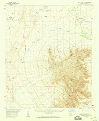 1957 White Tank Mts.1959 Print · USGSThe Sonoran Desert of Maricopa County is captured here in the late fifties, during a period of expanding military aviation and early telecommunications. Genealogists and desert historians can trace remote outposts like Dos Palmas Well and Luke Air Force Auxiliary Field No 1.3 unique versions available
 - 1958 Map of Phoenix
 1958 Phoenix1958 Print · USGSThe Phoenix Valley enters a period of postwar expansion, where desert irrigation meets massive military aviation footprints. Trace the development of Phoenix and Glendale alongside the legendary Vulture Mine and the auxiliary runways of Luke Air Force Base.
 - 1958 Map of Buckeye NW, 1959 Print
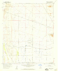 1958 Buckeye NW1959 Print · USGSMaricopa County during the late 1950s shows the precise transition between the wild Hassayampa River and the growing irrigation works of the Buckeye Valley. Researchers can trace the military footprint at Luke Auxiliary Field No 5 or locate historic extraction sites like the Blackhawk Mines.3 unique versions available
 - 1958 Map of Buckeye, 1963 Print
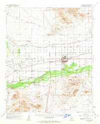 1958 Buckeye1963 Print · USGSIn the late fifties, the Buckeye Valley thrived as an irrigated agricultural heartland anchored by the Southern Pacific rail line. Researchers can trace the layout of small communities like Allenville and Palo Verde alongside the Roosevelt Canal and Blackhawk Mines.2 unique versions available
 - 1960 Map of Phoenix
 1960 Phoenix1960 Print · USGSCentral Arizona in the mid-fifties reveals a landscape of rapid suburban growth alongside enduring desert mining and ranching. Genealogists and historians can trace rail-side settlements like Vicksburg Junction and Waddell, or locate the Vulture Mine and early sites like Agua Fria School.
 - 1969 Map of Phoenix, 1970 Print
 1969 Phoenix1970 Print · USGSCentral Arizona is seen at a technological turning point in the late sixties, using Apollo 9 space photography to map the desert landscape. Researchers can trace the growth of Sun City, locate old workings at Vulture Mine, and follow the Gila River past Buckeye.2 unique versions available
 - 1971 Map of Phoenix
 1971 Phoenix1971 Print · USGSCentral Arizona at the start of the seventies shows a desert metropolis expanding toward the Sun Valley retirement boom. Trace the growth of Sun City and Glendale, or locate remote historic sites like the Vulture Gold Mine and Nottbusch Cemetery.
 - 1981 Map of Phoenix South
 1981 Phoenix South1981 Print · USGSThe desert south of Phoenix in the early eighties shows a unique mix of tribal lands, military outposts, and agricultural growth. Genealogists and historians can trace settlements like Ak Chin and Valencia or locate the Buckeye Copper Mine and Luke Aux Field No 6.2 unique versions available
 - 1988 Map of Wagner Wash Well
 1988 Wagner Wash Well1988 Print · USGSMaricopa County's arid riverbanks and wash systems are captured here in the late eighties, documenting a landscape of water infrastructure and mining activity. Local historians can locate specific sites like Wagner Wash Well, Light Hall Well, and various prospects.
 - 1988 Map of Phoenix North, 1989 Print
 1988 Phoenix North1989 Print · USGSNorth of Phoenix in the late eighties, the desert landscape transitions from the mining heritage of Wickenburg to the burgeoning suburbs of the valley. Trace the paths of the Atchison Topeka and Santa Fe Railway or locate old operations like the Vulture Mine.2 unique versions available
 - 2011 Map of Buckeye NW, 2011 Print
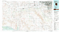
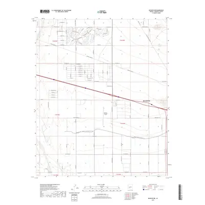
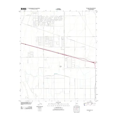 2011 Buckeye NW2011 Print · USGSCovers Hassayampa Ranches, including Buckeye, Maricopa County, and other nearby areas
 - 2011 Map of Wagner Wash Well, 2011 Print
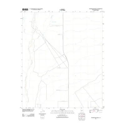 2011 Wagner Wash Well2011 Print · USGSCovers Hassayampa Ranches, including Buckeye, Maricopa County, and other nearby areas
 - 2014 Map of Buckeye NW, 2014 Print
 2014 Buckeye NW2014 Print · USGSCovers Hassayampa Ranches, including Buckeye, Maricopa County, and other nearby areas
 - 2014 Map of Wagner Wash Well, 2014 Print
 2014 Wagner Wash Well2014 Print · USGSCovers Hassayampa Ranches, including Buckeye, Maricopa County, and other nearby areas
 - 2018 Map of Wagner Wash Well, 2018 Print
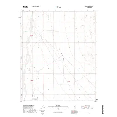 2018 Wagner Wash Well2018 Print · USGSCovers Hassayampa Ranches, including Buckeye, Maricopa County, and other nearby areas
 - 2018 Map of Buckeye NW, 2018 Print
 2018 Buckeye NW2018 Print · USGSCovers Hassayampa Ranches, including Buckeye, Maricopa County, and other nearby areas
 - 2021 Map of Wagner Wash Well, 2021 Print
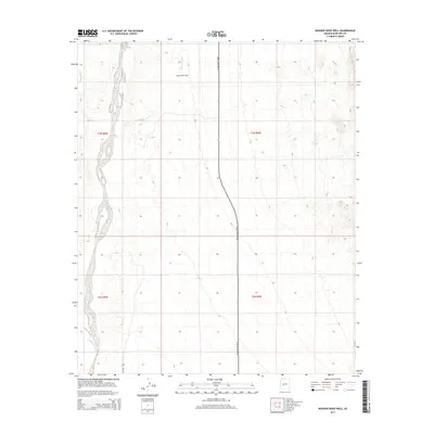
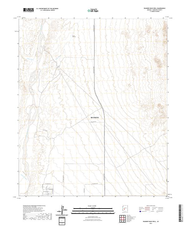 2021 Wagner Wash Well2021 Print · USGSMaricopa County shows the advance of desert development near the Hassayampa River in the early twenty-first century. Researchers can trace the path of the Sun Valley Pkwy through the arid flats toward Wagner Wash Well.
 - 2021 Map of Buckeye NW, 2021 Print
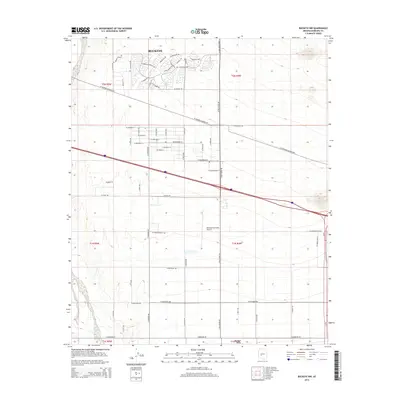
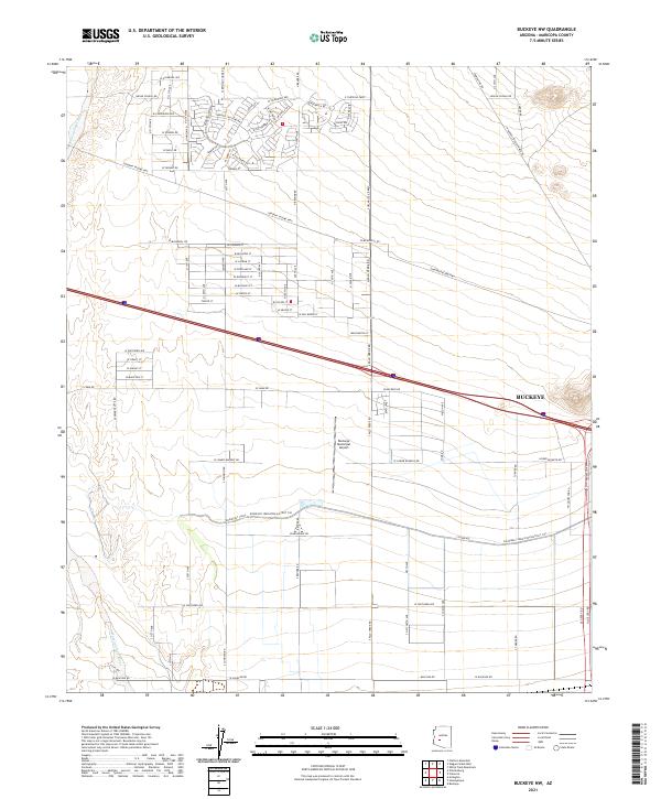 2021 Buckeye NW2021 Print · USGSMaricopa County's western valley is captured here in the early twenty-first century as agricultural roots meet suburban expansion. Researchers can trace the critical path of the Roosevelt Canal and locate landmarks like Buckeye Municipal Airport.
End of results
Showing maps 1-20 of 20
Frequently asked questions
- What are the different types of historical maps available for Hassayampa Ranches?
- What is the oldest map of Hassayampa Ranches?
- Where can I purchase historical maps of Hassayampa Ranches for my home or office?
- Where can I download high-res historical maps of Hassayampa Ranches?
- Are there historical topographic maps available for Hassayampa Ranches?
- Is there historical aerial imagery available for Hassayampa Ranches?
- Where are historical maps of Hassayampa Ranches sourced from?