Old Maps of Smurr, Arizona
Explore 15 old maps of Smurr, spanning from 1950 to today. These high-resolution historic maps reveal how streets, neighborhoods, landmarks, and natural features evolved over time — perfect for genealogy, metal detecting, research, and local history exploration.
What you can do with these maps:
- See how Smurr changed over time: Compare historical maps to modern-day views to trace roads, homesites, rail lines & more.
- View detailed metadata: Each map includes creators, publishers, year, scale, and archive source.
- Overlay maps with satellite & LiDAR: Visualize the past alongside modern tools to explore terrain & human change.
- Trusted historical sources: Maps sourced from the USGS, Library of Congress, and other archives.
- Access maps your way: View online, download high-res files, or order prints for personal or research use.
Start exploring old maps of Smurr to uncover forgotten places, hidden landmarks, and the deep history beneath your feet.
Smurr, AZ maps
(15)- 1950 Map of Theba, 1955 Print
 1950 Theba1955 Print · USGSMaricopa County's arid river lands are captured here in the 1950s, showing the early infrastructure of the Gillespie Ranch and the Gila Bend Indian Res. Researchers can locate rural landmarks like Theba, the Southern Pacific railroad sidings at Smurr, and the desert peaks of the White Hills.
 - 1951 Map of Theba
 1951 Theba1951 Print · USGSMaricopa County's arid river valley and rail corridor are captured here in the mid-century, showing the irrigation-driven growth around Theba and Gillespie Ranch. Researchers can trace the Southern Pacific line through sidings at Smurr and Piedra, or locate the Gila Bend Indian Res.2 unique versions available
 - 1953 Map of Ajo, 1971 Print
 1953 Ajo1971 Print · USGSThe Arizona desert at mid-century reveals a landscape of massive copper mines, tribal reservations, and military testing grounds. Genealogists and historians can trace rail stopovers like Dateland and Mohawk or locate remote sites like the Reward Mine and Gu Achi (Santa Rosa).2 unique versions available
 - 1957 Map of Ajo
 1957 Ajo1957 Print · USGSSouthern Arizona in the fifties reveals a landscape of massive copper mines, remote desert wells, and tribal reservations. Genealogists and historians can trace old cattle outposts like Whitewing Ranch, the Tracy's Trading Post, and the copper works at Ajo.
 - 1958 Map of Ajo
 1958 Ajo1958 Print · USGSThe high desert of Pima and Yuma Counties during the late fifties shows a landscape of remote copper mines and military flight paths. Researchers can trace the Southern Pacific Railroad through Gila Bend and find heritage sites like O'Neills Grave or the Christmas Gift Mine.2 unique versions available
 - 1962 Map of Ajo
 1962 Ajo1962 Print · USGSSouthern Arizona in the early sixties was a landscape of deep-desert mining, military airfields, and tribal lands. Researchers can trace the Cornelia Mine near Ajo, remote outposts like Trays Trading Post, and the path of the Devils Highway.
 - 1963 Map of Ajo
 1963 Ajo1963 Print · USGSSouthwestern Arizona in the early sixties reveals a landscape of desert ranches and remote mining outposts. Trace the historic Southern Pacific line or locate isolated landmarks like O'Neils Grave and Tracy's Trading Post.
 - 1967 Map of Ajo
 1967 Ajo1967 Print · USGSSouthern Arizona in the mid-1960s is depicted here as a landscape of military aviation and deep-desert ranching. Trace the historical mining operations at Vekol Mine or follow the Southern Pacific rail line through Gila Bend and Dateland.
 - 1973 Map of Smurr, 1977 Print
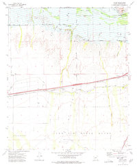 1973 Smurr1977 Print · USGSMaricopa County's desert landscape was a study in irrigation and infrastructure during the 1970s. Trace the rail-side stops of the Southern Pacific at Smurr or explore the southern reaches of the Gila Bend Indian Reservation.
 - 1981 Map of Gila Bend, 1996 Print
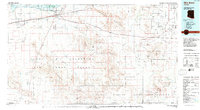 1981 Gila Bend1996 Print · USGSSouthern Arizona in the early eighties reveals a vast desert corridor shaped by military ranges, indigenous lands, and historical mining. Genealogists and historians can trace rail-side settlements like Theba and Piedra or locate the historic Vekol Mine and Reward Mine.
 - 1982 Map of Ajo
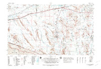 1982 Ajo1982 Print · USGSThe Arizona-Sonora borderlands come into focus in the early eighties, showcasing a landscape of desert mining towns and expansive tribal lands. Trace the Southern Pacific rail line through Gila Bend or explore the remote settlements of Ajo and Lukeville.
 - 2011 Map of Smurr, 2011 Print
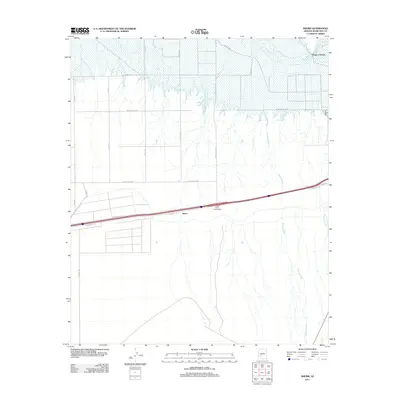 2011 Smurr2011 Print · USGSMaricopa County near Gila Bend is shown in the early twenty-first century, where desert washes meet irrigated farmland. Researchers can trace the path of Sauceda Wash toward the Gila River or locate the rural crossroads of Smurr and the Citrus Valley Interchange.
 - 2014 Map of Smurr, 2014 Print
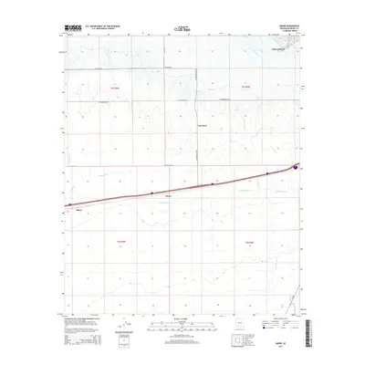 2014 Smurr2014 Print · USGSMaricopa County's desert agricultural landscape is shown here in the early twenty-first century, centered on the irrigation networks south of the river. Researchers can trace the path of the Gila Bend Canal and locate rural hubs like Smurr, Theba, and the northern reaches of Gila Bend.
 - 2018 Map of Smurr, 2018 Print
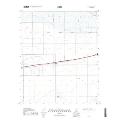 2018 Smurr2018 Print · USGSThe arid landscape around Gila Bend and Smurr is documented here as it appeared in the late 2010s. Researchers can trace irrigation networks like the Gila Bend Canal or locate historic aviation sites like Williams Auxiliary Airfield 6.
 - 2021 Map of Smurr, 2021 Print
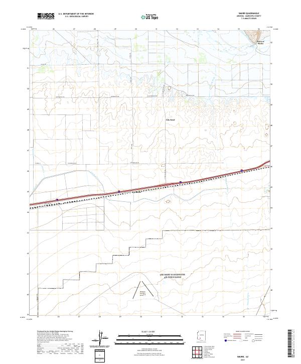 2021 Smurr2021 Print · USGSMaricopa County agriculture and aviation intersect in this contemporary portrait of the Sonoran desert. Researchers can trace the water infrastructure of Citrus Ditch and the Gila Bend Canal or locate the historic Williams Auxiliary Airfield 6.
End of results
Showing maps 1-15 of 15
Top cities near Smurr
Frequently asked questions
- What are the different types of historical maps available for Smurr?
- What is the oldest map of Smurr?
- Where can I purchase historical maps of Smurr for my home or office?
- Where can I download high-res historical maps of Smurr?
- Are there historical topographic maps available for Smurr?
- Is there historical aerial imagery available for Smurr?
- Where are historical maps of Smurr sourced from?