Loading...
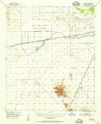
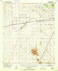
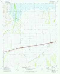
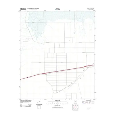
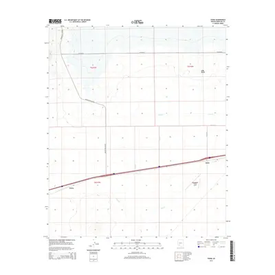
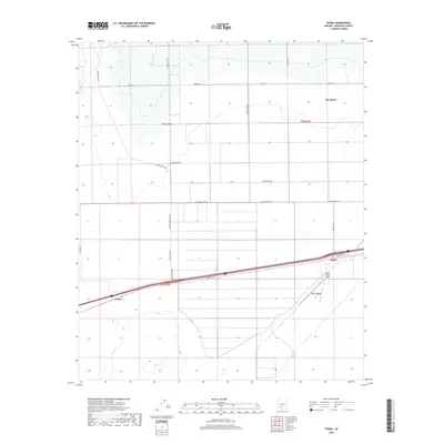
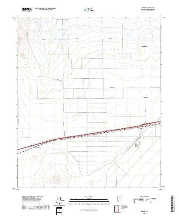
Loading map...1950 Map of Theba
USGS Topo · Published 1955About this map
The Gila River corridor near Theba reveals a landscape defined by the intersection of early 20th-century irrigation, military infrastructure, and transit. In the mid-1950s, the Gila Bend Canal system supported the agricultural operations of the Gillespie Ranch, which sat adjacent to the private Gillespie Airfield. The Southern Pacific railroad parallels the river, passing through the small settlements of Piedra and Smurr.
Find a feature on this map
29 named features on this map. Tap any name to fly to it.
Don’t see what you’re looking for? This feature index may not catch every label — zoom into the map to look around manually.
Map Details
Date Portrayed1950
Date Published1955
PublisherU.S. Geological Survey
Map TypeTopographic
Scale1:62,500
Physical Dimensions16.9 x 20.8 inches
Editions of this 1950 Theba Map
This is the sole edition of this map. No revisions or reprints were ever made.
Historical Maps of Gila Bend Through Time
7 maps found
Featured Locations
Source Details
SourceU.S. Geological Survey
CopyrightPublic Domain