
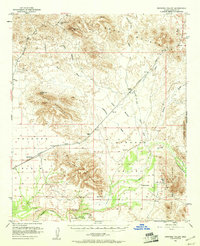
1951 Map of Dendora Valley
USGS Topo · Published 1952About this map
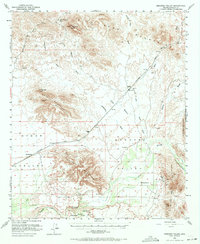
Oatman Grave and Furr Grave stand as poignant markers of mid-19th-century frontier history within the Oatman Flat area. This 1951 survey documents the rugged desert landscape where the Gila River cuts through the Dendora Valley and the Gila River Canyon. The Southern Pacific railroad traverses the northern reaches of the Palomas Plain, connecting remote outposts like Sundad and the former location of Papago. Mining and ranching interests are evident at the Rawley Mine, Dendora Ranch, and Jordan Ranch. The terrain is dominated by prominent volcanic and desert formations, including Face Mountain with its Montezuma Head landmark, the Gila Bend Mountains, and the Painted Rock Mountains. Dozens of desert washes, such as Fourth of July Wash and Yellow Medicine Wash, illustrate the complex drainage system feeding into the river valley.
Find a feature on this map
29 named features on this map. Tap any name to fly to it.
Don’t see what you’re looking for? This feature index may not catch every label — zoom into the map to look around manually.
Map Details
Editions of this 1951 Dendora Valley Map
3 editions found
Other maps of this area

1927 · Hyder
USGS Topo · 1:62,500

1929 · Aztec
USGS Topo · 1:62,500

1930 · Hyder
USGS Topo · 1:62,500

1942 · Vicksburg
USGS Topo · 1:250,000

1949 · Sentinel
USGS Topo · 1:62,500

1950 · Sentinel
USGS Topo · 1:62,500

1950 · Theba
USGS Topo · 1:62,500

1950 · Aztec
USGS Topo · 1:62,500

1951 · Theba
USGS Topo · 1:62,500

1951 · Woolsey Peak
USGS Topo · 1:62,500