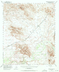
1951 Map of Dendora Valley
USGS Topo · Published 1971About this map
Oatman Flat serves as a focal point for the historic human presence in this arid reach of the Gila River valley. This 1951 survey documents a landscape of sparse ranching and mining, anchored by Dendora Ranch and Jordan Ranch. The presence of the Oatman Grave and Furr Grave provides a tangible link to early travelers and settlers in this isolated corridor. The Southern Pacific railroad cuts through the terrain, connecting the settlement at Sundad with the wider region.
Find a feature on this map
28 named features on this map. Tap any name to fly to it.
Don’t see what you’re looking for? This feature index may not catch every label — zoom into the map to look around manually.
Map Details
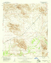
Editions of this 1951 Dendora Valley Map
3 editions found
Other maps of this area

1927 · Hyder
USGS Topo · 1:62,500

1929 · Aztec
USGS Topo · 1:62,500

1930 · Hyder
USGS Topo · 1:62,500

1942 · Vicksburg
USGS Topo · 1:250,000

1949 · Sentinel
USGS Topo · 1:62,500

1950 · Sentinel
USGS Topo · 1:62,500

1950 · Theba
USGS Topo · 1:62,500

1950 · Aztec
USGS Topo · 1:62,500

1951 · Theba
USGS Topo · 1:62,500

1951 · Dendora Valley
USGS Topo · 1:62,500