Old Maps of Sunrise Canyon, Maricopa County for Metal Detecting
Plan your next treasure hunt with 24 historic maps of Sunrise Canyon. Find old homesites, ghost towns, trails, and gathering spots that may be lost to time — perfect for identifying promising metal detecting locations.
- Locate forgotten sites: Uncover places like long-lost settlements, abandoned rail lines, or gathering spots.
- Plan better hunts: Use map overlays combined with LiDAR or satellite views to narrow in on historically rich areas.
- Made for detectorists: Thousands of hobbyists use these maps to discover relics, coins, and hidden history.
Use these historic maps to boost your research and find new opportunities beneath the surface of Sunrise Canyon.
Sunrise Canyon, Maricopa County maps
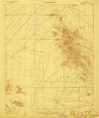
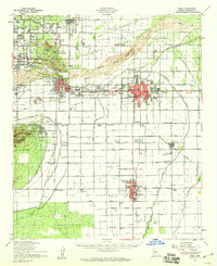
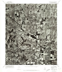
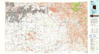
(24)- 1904 Map of Camelback
 1904 Camelback1904 Print · USGSCovers Sunrise Canyon, including Phoenix, Scottsdale, and other nearby areas
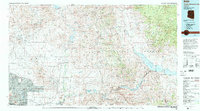
 - 1906 Map of Camelsback
 1906 Camelsback1906 Print · USGSCovers Sunrise Canyon, including Phoenix, Scottsdale, and other nearby areas3 unique versions available
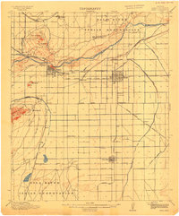
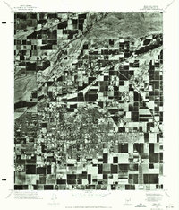
 - 1913 Map of Mesa, 1955 Print
 1913 Mesa1955 Print · USGSCovers Sunrise Canyon, including Phoenix, Mesa, and other nearby areas
 - 1915 Map of Mesa
 1915 Mesa1915 Print · USGSCovers Sunrise Canyon, including Phoenix, Mesa, and other nearby areas2 unique versions available
 - 1930 Map of Cave Creek, 1959 Print
 1930 Cave Creek1959 Print · USGSCovers Sunrise Canyon, including Phoenix, Mesa, and other nearby areas2 unique versions available
 - 1939 Map of Cave Creek
 1939 Cave Creek1939 Print · USGSCovers Sunrise Canyon, including Phoenix, Mesa, and other nearby areas3 unique versions available
 - 1952 Map of Tempe, 1957 Print
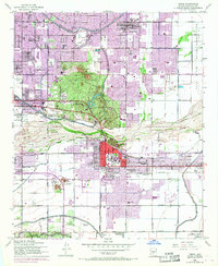
 1952 Tempe1957 Print · USGSCovers Sunrise Canyon, including Phoenix, Mesa, and other nearby areas7 unique versions available
 - 1952 Map of Mesa, 1957 Print
 1952 Mesa1957 Print · USGSCovers Sunrise Canyon, including Mesa, Gilbert, and other nearby areas5 unique versions available
 - 1952 Map of Mesa, 1960 Print
 1952 Mesa1960 Print · USGSCovers Sunrise Canyon, including Phoenix, Mesa, and other nearby areas
 - 1954 Map of Mesa, 1968 Print
 1954 Mesa1968 Print · USGSCovers Sunrise Canyon, including Phoenix, Mesa, and other nearby areas4 unique versions available
 - 1957 Map of Mesa
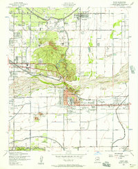
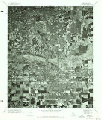
 1957 Mesa1957 Print · USGSCovers Sunrise Canyon, including Phoenix, Mesa, and other nearby areas
 - 1958 Map of Mesa
 1958 Mesa1958 Print · USGSCovers Sunrise Canyon, including Phoenix, Mesa, and other nearby areas
 - 1958 Map of Tempe, 1968 Print
 1958 Tempe1968 Print · USGSCovers Sunrise Canyon, including Phoenix, Mesa, and other nearby areas
 - 1960 Map of Mesa
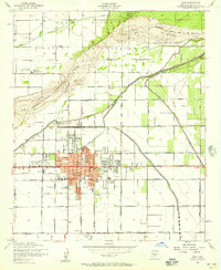
 1960 Mesa1960 Print · USGSCovers Sunrise Canyon, including Phoenix, Mesa, and other nearby areas
 - 1964 Map of Mesa
 1964 Mesa1964 Print · USGSCovers Sunrise Canyon, including Phoenix, Mesa, and other nearby areas
 - 1964 Map of Sawik Mountain, 1965 Print
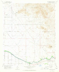 1964 Sawik Mountain1965 Print · USGSCovers Sunrise Canyon, including Scottsdale, Fountain Hills, and other nearby areas6 unique versions available
 - 1965 Map of Paradise Valley, 1966 Print
 1965 Paradise Valley1966 Print · USGSCovers Sunrise Canyon, including Phoenix, Scottsdale, and other nearby areas4 unique versions available
 - 1971 Map of Paradise Valley, 1972 Print
 1971 Paradise Valley1972 Print · USGSCovers Sunrise Canyon, including Phoenix, Scottsdale, and other nearby areas
 - 1971 Map of Sawik Mountain, 1972 Print
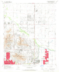
 1971 Sawik Mountain1972 Print · USGSCovers Sunrise Canyon, including Scottsdale, Fountain Hills, and other nearby areas
 - 1971 Map of Mesa, 1972 Print
 1971 Mesa1972 Print · USGSCovers Sunrise Canyon, including Mesa, Gilbert, and other nearby areas2 unique versions available
 - 1971 Map of Tempe, 1973 Print
 1971 Tempe1973 Print · USGSCovers Sunrise Canyon, including Phoenix, Mesa, and other nearby areas
 - 1972 Map of Mesa, 1975 Print
 1972 Mesa1975 Print · USGSCovers Sunrise Canyon, including Mesa, Gilbert, and other nearby areas
 - 1994 Map of Mesa
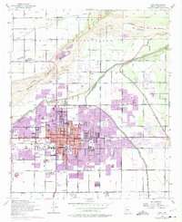
 1994 Mesa1994 Print · USGSCovers Sunrise Canyon, including Phoenix, Mesa, and other nearby areas2 unique versions available
 - 1994 Map of Theodore Roosevelt Lake, 1995 Print
 1994 Theodore Roosevelt Lake1995 Print · USGSCovers Sunrise Canyon, including Phoenix, Mesa, and other nearby areas3 unique versions available
End of results
Showing maps 1-24 of 24
Frequently asked questions
- What are the different types of historical maps available for Sunrise Canyon?
- What is the oldest map of Sunrise Canyon?
- Where can I purchase historical maps of Sunrise Canyon for my home or office?
- Where can I download high-res historical maps of Sunrise Canyon?
- Are there historical topographic maps available for Sunrise Canyon?
- Is there historical aerial imagery available for Sunrise Canyon?
- Where are historical maps of Sunrise Canyon sourced from?