Old Maps of Rock Crossing, Arizona for Metal Detecting
Plan your next treasure hunt with 12 historic maps of Rock Crossing. Find old homesites, ghost towns, trails, and gathering spots that may be lost to time — perfect for identifying promising metal detecting locations.
- Locate forgotten sites: Uncover places like long-lost settlements, abandoned rail lines, or gathering spots.
- Plan better hunts: Use map overlays combined with LiDAR or satellite views to narrow in on historically rich areas.
- Made for detectorists: Thousands of hobbyists use these maps to discover relics, coins, and hidden history.
Use these historic maps to boost your research and find new opportunities beneath the surface of Rock Crossing.
Rock Crossing, AZ maps
(12)- 1886 Map of Mt. Trumbull
 1886 Mt. Trumbull1886 Print · USGSMohave County in the late nineteenth century was a territory of extreme verticality and scarce water. Historians can trace early routes through the Arizona Strip via vital water stops like Pierce Ferry, Witches Pool, and Pakoon Spring.
 - 1892 Map of Mt. Trumbull
 1892 Mt. Trumbull1892 Print · USGSNorthwestern Arizona in the late nineteenth century was a frontier of isolated springs and massive plateaus. You can trace early routes across the Colorado River at Pierce Ferry and locate vital water at Pakoon Spring or Witch Pool.6 unique versions available
 - 1953 Map of Grand Canyon, 1967 Print
 1953 Grand Canyon1967 Print · USGSArizona's northern frontier is captured here in the mid-twentieth century, from the high plateaus to the desert basins. Trace early routes like Arizona 67, explore the isolated Moccasin settlement, or locate early landmarks such as Mount Trumbull.3 unique versions available
 - 1957 Map of Grand Canyon
 1957 Grand Canyon1957 Print · USGSNorthern Arizona in the mid-fifties presents a sparsely settled expanse of high plateaus and ranching outposts surrounding the great canyon. Genealogists and historians can trace family land at Diamond Butte Ranch, locate the Moccasin settlement, or study the magnesium works at Black Diamond Mine.
 - 1958 Map of Grand Canyon
 1958 Grand Canyon1958 Print · USGSNorthern Arizona in the late fifties was a landscape of remote cattle ranches and timber operations spanning from the Virgin Mountains to the Kaibab Forest. Researchers can locate family outposts like Bundy Ranch, trace the Temple Trail, or find the Parashant Lumber Mill.
 - 1960 Map of Grand Canyon
 1960 Grand Canyon1960 Print · USGSThe Arizona strip and the Colorado River corridor appear in the 1950s as a vast network of isolated plateaus and remote outposts. Researchers can trace historic ranching and tribal lands including Supai, the Kaibab Indian Reservation, and the Mt Trumbull Post Office.
 - 1980 Map of The Grandstand
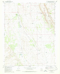 1980 The Grandstand1980 Print · USGSThe Arizona Strip during the late seventies is captured here, centered on the dramatic rise of the Hurricane Cliffs. Researchers can trace the path of the historic Temple Trail and locate essential desert water sources like Higley Twin Tanks and Toquer Tank.
 - 1987 Map of Littlefield, 1988 Print
 1987 Littlefield1988 Print · USGSNorthwestern Arizona’s high desert comes into focus in the late eighties, showing the remote ranching and mining country along the Utah border. Researchers can trace the path of the Virgin River and locate vital water sites like Wolf Hole Lake, Mormon Well, and the Hidden Mines.2 unique versions available
 - 2011 Map of The Grandstand, 2011 Print
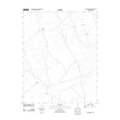 2011 The Grandstand2011 Print · USGSMohave County's high desert landscape is documented here in the early twenty-first century, centered on the isolated Rock Crossing area. Researchers can trace remote ranching and water infrastructure through labels like Rock Crossing Reservoir, Marchant Tank, and Hurricane Cliffs.
 - 2014 Map of The Grandstand, 2014 Print
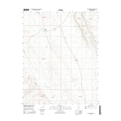 2014 The Grandstand2014 Print · USGSThe high desert of Mohave County comes into focus in this modern era survey of the Hurricane Cliffs and the surrounding plateau. Genealogists and historians can trace routes like the Navajo Trail Rd past Rock Crossing and family-named water sources like Higley Twin Tanks.
 - 2018 Map of The Grandstand, 2018 Print
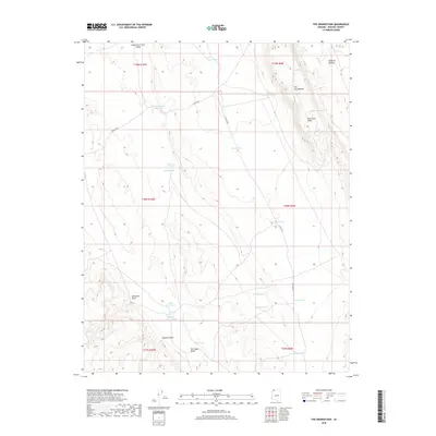 2018 The Grandstand2018 Print · USGSThe Arizona high desert east of St. George is captured here in the late twenty-teens, showcasing a landscape of remote ranching and rugged topography. Researchers can trace historic routes like Navajo Trl past essential water sources like Rock Crossing Reservoir and Higley Twin Tanks.
 - 2021 Map of The Grandstand, 2021 Print
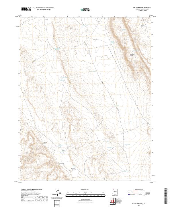 2021 The Grandstand2021 Print · USGSThis high-desert ranching landscape in Mohave County is captured in the early twenty-first century as it remains defined by its essential water catchments and sharp cliff faces. Researchers can trace historic routes like the Navajo Trl near family-named landmarks such as Kellands Pond and Higley Twin Tanks.
End of results
Showing maps 1-12 of 12
Frequently asked questions
- What are the different types of historical maps available for Rock Crossing?
- What is the oldest map of Rock Crossing?
- Where can I purchase historical maps of Rock Crossing for my home or office?
- Where can I download high-res historical maps of Rock Crossing?
- Are there historical topographic maps available for Rock Crossing?
- Is there historical aerial imagery available for Rock Crossing?
- Where are historical maps of Rock Crossing sourced from?