Old Maps of Temple Bar, Arizona for Hiking & Exploration
Hike through history with 15 historic maps of Temple Bar. Explore old trails, ghost towns, and forgotten backroads — perfect for outdoor adventurers and local explorers.
- Rediscover forgotten places: Map out old mining camps, roads, and footpaths that no longer exist on modern maps.
- Layer with modern tools: Combine with LiDAR or satellite views to plan hikes through historical terrain.
- Made for exploration: Popular among hikers, overlanders, and local history lovers.
Use these maps to find adventure and explore the hidden past of Temple Bar.
Temple Bar, AZ maps
(15)- 1886 Map of Saint Thomas
 1886 Saint Thomas1886 Print · USGSSoutheastern Nevada's river valleys and early trails are captured here in the late nineteenth century, long before the creation of Lake Mead. Genealogists and historians can locate early settlements like Saint Thomas and Old Callville, and trace river crossings at Stone Ferry and Scanlon Ferry.6 unique versions available
 - 1893 Map of Saint Thomas
 1893 Saint Thomas1893 Print · USGSSouthern Nevada at the close of the nineteenth century reveals a network of river-based settlements and trails. Genealogists and researchers can trace the early locations of Saint Thomas, Old Callville, and the Stone Ferry crossing.
 - 1926 Map of Bonelli
 1926 Bonelli1926 Print · USGSThe Nevada-Arizona borderlands are captured here in the mid-1920s, showing the original river-crossing culture before the landscape was submerged. Researchers can trace the river economy through Bonelli Ferry, the settlement at St Thomas, and local mining at the Calico Salt Mine.
 - 1953 Map of Virgin Basin, 1955 Print
 1953 Virgin Basin1955 Print · USGSThe rising waters of Lake Mead are the focus of this mid-fifties study of the Nevada-Arizona borderlands. Researchers can trace the submerged river geography and find land-based markers like the Lakeside Mine, Bonelli Landing, and the Ferry Road.3 unique versions available
 - 1954 Map of Las Vegas
 1954 Las Vegas1954 Print · USGSLas Vegas and the Mojave Desert are shown in the early fifties as the region's military and recreational footprint expanded. Genealogists and historians can trace the early layout of North Las Vegas, the sites of Indian Springs Air Force Base, and long-established towns like Bunkerville.5 unique versions available
 - 1957 Map of Las Vegas
 1957 Las Vegas1957 Print · USGSSouthern Nevada in the mid-fifties is a landscape of massive federal ranges and the early growth of Las Vegas. Researchers can trace the development of McCarran Field, the expansive Lake Mead National Recreation Area, and the industrial footprint of Henderson.
 - 1959 Map of Las Vegas
 1959 Las Vegas1959 Print · USGSSouthern Nevada in the late fifties was a landscape of rapid suburban growth and massive federal installations. Genealogists and historians can trace early housing at Victory Village, the grounds of Camp Desert Rock, and the remote Tule Springs Ranch.
 - 1962 Map of Las Vegas
 1962 Las Vegas1962 Print · USGSSouthern Nevada is captured here during a period of significant military and industrial growth in the early sixties. Researchers can trace the development of Las Vegas alongside the Magnesium Plant in Henderson and the expansive Nellis Air Force Base.
 - 1970 Map of Virgin Basin, 1972 Print
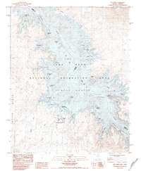
 1970 Virgin Basin1972 Print · USGSThe Nevada and Arizona borderlands meet at the confluence of the Colorado and Virgin Rivers in the mid-twentieth century. Trace the early development of Temple Bar Marina and find remote sites like Bonelli Landing and the Lakeside Mine.2 unique versions available
 - 1983 Map of The Temple, 1984 Print
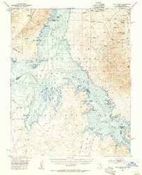
 1983 The Temple1984 Print · USGSThe Lake Mead shoreline in the early eighties reveals a recreation landscape shaped by the Colorado and Virgin Rivers. Trace family memories at Temple Bar Marina or locate landmarks like Plane Crash Island and The Temple.
 - 1987 Map of Lake Mead, 1988 Print
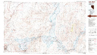 1987 Lake Mead1988 Print · USGSThe Lake Mead region in the late eighties shows a landscape shaped by massive water reclamation and growing desert communities. Trace the reach of the reservoir from Hoover Dam to Meadview, or locate remote desert landmarks like Rogers Spring and the Bowl of Fire.
 - 2012 Map of The Temple, 2012 Print
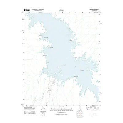 2012 The Temple2012 Print · USGSCovers Temple Bar, including Clark County, Mohave County, and other nearby areas
 - 2014 Map of The Temple, 2014 Print
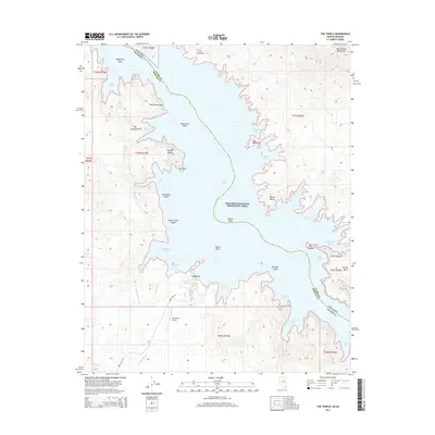 2014 The Temple2014 Print · USGSCovers Temple Bar, including Clark County, Mohave County, and other nearby areas
 - 2018 Map of The Temple, 2018 Print
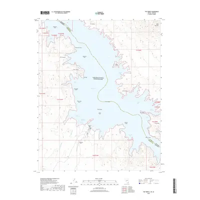 2018 The Temple2018 Print · USGSCovers Temple Bar, including Clark County, Mohave County, and other nearby areas
 - 2021 Map of The Temple, 2021 Print
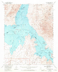
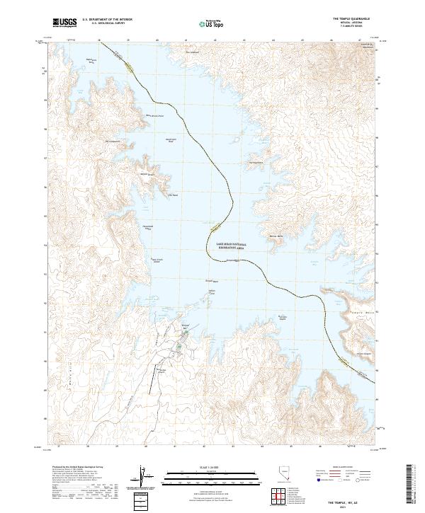 2021 The Temple2021 Print · USGSThe Nevada-Arizona border at Lake Mead is captured here in a period of high recreation and desert aviation. Traces of local history and navigation emerge in places like Temple Bar Airport, Boat Wreck Point, and the distinct silhouette of The Temple.
End of results
Showing maps 1-15 of 15
Frequently asked questions
- What are the different types of historical maps available for Temple Bar?
- What is the oldest map of Temple Bar?
- Where can I purchase historical maps of Temple Bar for my home or office?
- Where can I download high-res historical maps of Temple Bar?
- Are there historical topographic maps available for Temple Bar?
- Is there historical aerial imagery available for Temple Bar?
- Where are historical maps of Temple Bar sourced from?