Old Maps of North Fork, Arizona
Explore 11 old maps of North Fork, spanning from 1954 to today. These high-resolution historic maps reveal how streets, neighborhoods, landmarks, and natural features evolved over time — perfect for genealogy, metal detecting, research, and local history exploration.
What you can do with these maps:
- See how North Fork changed over time: Compare historical maps to modern-day views to trace roads, homesites, rail lines & more.
- View detailed metadata: Each map includes creators, publishers, year, scale, and archive source.
- Overlay maps with satellite & LiDAR: Visualize the past alongside modern tools to explore terrain & human change.
- Trusted historical sources: Maps sourced from the USGS, Library of Congress, and other archives.
- Access maps your way: View online, download high-res files, or order prints for personal or research use.
Start exploring old maps of North Fork to uncover forgotten places, hidden landmarks, and the deep history beneath your feet.
North Fork, AZ maps
(11)- 1954 Map of Clifton, 1968 Print
 1954 Clifton1968 Print · USGSThe high timber and copper country of the Arizona-New Mexico border is captured here during the mid-fifties. Genealogists and historians can trace family holdings like the Double Circle Ranch or study the industrial footprint of the Smelting Plant at Clifton.3 unique versions available
 - 1957 Map of Clifton
 1957 Clifton1957 Print · USGSThe copper-mining district around Clifton and Morenci meets the high timberlands of the Mogollon Rim during the mid-1950s. Genealogists and researchers can trace family-named outposts and remote mountain settlements like Reserve, Stargo, and Fort Thomas.
 - 1958 Map of Clifton
 1958 Clifton1958 Print · USGSThe rugged high country of the Arizona-New Mexico border comes into focus in the mid-fifties, showing a landscape of mining camps and forest outposts. Genealogists and researchers can trace old settlements and remote sites like Mogollon, East Fork Mission, and the Tidwell Mine.
 - 1962 Map of Clifton
 1962 Clifton1962 Print · USGSThe copper-rich Arizona-New Mexico borderlands come into focus in the early sixties, centered on the mining complexes of Morenci and Clifton. Researchers can trace the Southern Pacific rail lines and locate remote outposts like Honeymoon and the Double Circle Ranch.
 - 1967 Map of Alchesay Flat, 1971 Print
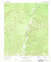 1967 Alchesay Flat1971 Print · USGSThe Fort Apache Indian Reservation comes into focus during the late 1960s, centered on the river-fed corridor of Alchesay Flat. Genealogists and historians can locate specific landmarks including the Chief Alchesay Baha Grave, Baha Ranch, and petroglyphs along the river.
 - 1978 Map of Alchesay Flat
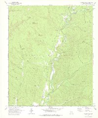 1978 Alchesay Flat1978 Print · USGSNavajo County and the Fort Apache Indian Reservation are captured here in the late seventies as the river valleys were being carefully managed. Genealogists and historians can locate Roberts Ranch, the Chief Alchesay Baha Grave, and ancient Petroglyphs.
 - 1981 Map of Nutrioso, 1996 Print
 1981 Nutrioso1996 Print · USGSEastern Arizona and the New Mexico borderlands are captured here in the early eighties, showcasing a vast expanse of national forest and tribal lands. Researchers can trace the high-country routes between Nutrioso, Alpine, and Whiteriver, or locate landmarks along the Mogollon Rim and Black River.2 unique versions available
 - 2011 Map of Alchesay Flat, 2011 Print
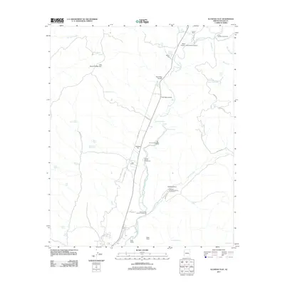 2011 Alchesay Flat2011 Print · USGSThe high-country ranching and river canyons of Navajo County are captured here in the early twenty-first century. Researchers can trace the network of springs and ranch outposts like Roberts Ranch, Post Office Farms, and the Alchesay National Fish Hatchery.
 - 2014 Map of Alchesay Flat, 2014 Print
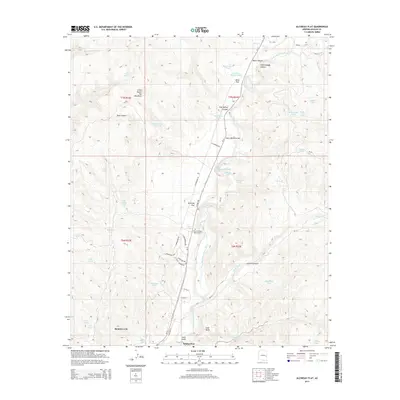 2014 Alchesay Flat2014 Print · USGSThe community of Whiteriver and its surrounding canyons are captured here in the early twenty-first century. Genealogists and researchers can locate landmarks like the Chief Alchesay Baha Grave, Rainbow City, and Post Office Farms along the North Fork White River.
 - 2018 Map of Alchesay Flat, 2018 Print
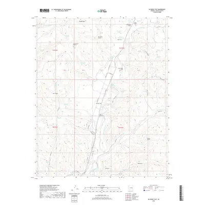 2018 Alchesay Flat2018 Print · USGSNavajo County's high-country canyons and river valleys are documented here during the late 2010s. Researchers can locate the Chief Alchesay Baha Grave and trace the paths of the North Fork White River or the Old Sawmill Rd.
 - 2021 Map of Alchesay Flat, 2021 Print
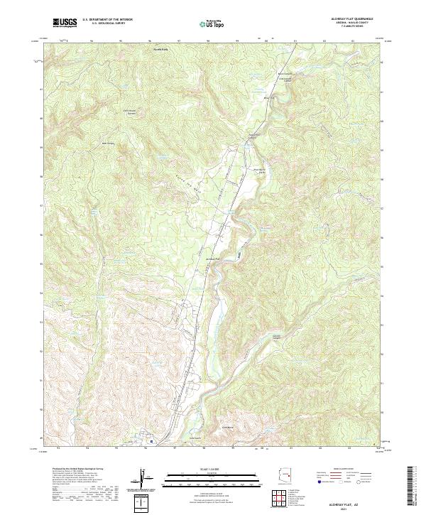 2021 Alchesay Flat2021 Print · USGSNavajo County ranching and remote settlements are documented here during the early twenty-first century. Researchers can trace land use through Post Office Farms, family-named water sources like Bourke Tank, and the winding North Fork White River.
End of results
Showing maps 1-11 of 11
Top cities near North Fork
Frequently asked questions
- What are the different types of historical maps available for North Fork?
- What is the oldest map of North Fork?
- Where can I purchase historical maps of North Fork for my home or office?
- Where can I download high-res historical maps of North Fork?
- Are there historical topographic maps available for North Fork?
- Is there historical aerial imagery available for North Fork?
- Where are historical maps of North Fork sourced from?