Old Maps of Second Mesa, Navajo County for Genealogy
Trace your family roots with 11 historic maps of Second Mesa. These high-res maps reveal old neighborhoods, homesites, landmarks, and streets — helping you uncover where your ancestors lived and how the area evolved over time.
- Explore historic neighborhoods: Identify where your relatives may have lived in the 1800s or 1900s.
- Compare maps over time: Trace the changes in streets, buildings, and landmarks for multi-generational research.
- Perfect for genealogy & ancestry research: Used by family historians and researchers to map out lineage and migration.
These maps are an incredible resource for exploring your personal connection to Second Mesa's past.
Second Mesa, Navajo County maps
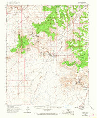
(11)- 1883 Map of Tusayan, 1896 Print
 1883 Tusayan1896 Print · USGSCovers Second Mesa, including Winslow, Chinle Agency, and other nearby areas
 - 1886 Map of Tusayan
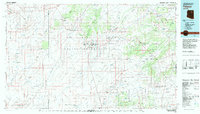
 1886 Tusayan1886 Print · USGSCovers Second Mesa, including Winslow, Chinle Agency, and other nearby areas5 unique versions available
 - 1947 Map of Flagstaff, 1948 Print
 1947 Flagstaff1948 Print · USGSCovers Second Mesa, including Flagstaff, Winslow, and other nearby areas2 unique versions available
 - 1954 Map of Flagstaff, 1966 Print
 1954 Flagstaff1966 Print · USGSCovers Second Mesa, including Flagstaff, Winslow, and other nearby areas3 unique versions available
 - 1958 Map of Flagstaff
 1958 Flagstaff1958 Print · USGSCovers Second Mesa, including Flagstaff, Winslow, and other nearby areas
 - 1960 Map of Flagstaff
 1960 Flagstaff1960 Print · USGSCovers Second Mesa, including Flagstaff, Winslow, and other nearby areas2 unique versions available
 - 1962 Map of Flagstaff
 1962 Flagstaff1962 Print · USGSCovers Second Mesa, including Flagstaff, Winslow, and other nearby areas
 - 1966 Map of Oraibi, 1968 Print
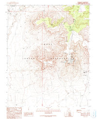
 1966 Oraibi1968 Print · USGSCovers Second Mesa, including Pivahn-hon-kya-pi, Shungopavi, and other nearby areas2 unique versions available
 - 1982 Map of Polacca, 1983 Print
 1982 Polacca1983 Print · USGSCovers Second Mesa, including Chinle Agency, Fort Defiance Agency, and other nearby areas2 unique versions available
 - 1991 Map of Shungopavi
 1991 Shungopavi1991 Print · USGSCovers Second Mesa, including Shungopavi, Kykotsmovi Village, and other nearby areas
 - 2021 Map of Shungopavi, 2021 Print
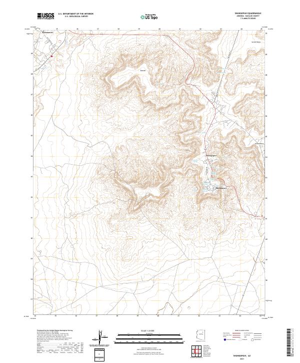 2021 Shungopavi2021 Print · USGSCovers Second Mesa, including Kykotsmovi Village, Shungopavi, and other nearby areas
End of results
Showing maps 1-11 of 11
Frequently asked questions
- What are the different types of historical maps available for Second Mesa?
- What is the oldest map of Second Mesa?
- Where can I purchase historical maps of Second Mesa for my home or office?
- Where can I download high-res historical maps of Second Mesa?
- Are there historical topographic maps available for Second Mesa?
- Is there historical aerial imagery available for Second Mesa?
- Where are historical maps of Second Mesa sourced from?