Old Maps of Arivaca Junction, Arizona for Hiking & Exploration
Hike through history with 14 historic maps of Arivaca Junction. Explore old trails, ghost towns, and forgotten backroads — perfect for outdoor adventurers and local explorers.
- Rediscover forgotten places: Map out old mining camps, roads, and footpaths that no longer exist on modern maps.
- Layer with modern tools: Combine with LiDAR or satellite views to plan hikes through historical terrain.
- Made for exploration: Popular among hikers, overlanders, and local history lovers.
Use these maps to find adventure and explore the hidden past of Arivaca Junction.
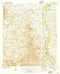
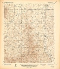
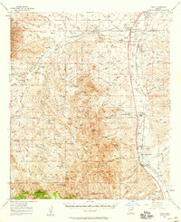
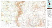
Arivaca Junction, AZ maps
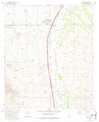
(14)- 1920 Map of Arivaca
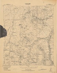 1920 Arivaca1920 Print · USGSSouthern Arizona ranching and mining country comes into focus in this post-World War I survey of the Santa Cruz Valley. Trace family roots and early industry near the Tumacacori Mission, Oceanic Mine, and the village of Arivaca.
 - 1939 Map of Tubac, 1956 Print
 1939 Tubac1956 Print · USGSSouthern Arizona ranching and valley life come into focus just before the war, centered on the Santa Cruz River corridor. Genealogists and historians can trace family locations from the Santa Lucia Ranch to Arivaca Junction, and locate the Sopori Sch near Amado.
 - 1943 Map of Tubac
 1943 Tubac1943 Print · USGSThe Santa Cruz River valley comes alive in the late 1930s, documenting the vital transport corridor through Tubac and Amado. Genealogists and historians can trace family-run operations like Moyza Ranch or locate the Sopori Sch and Tumacacori National Monument.3 unique versions available
 - 1956 Map of Nogales, 1963 Print
 1956 Nogales1963 Print · USGSSouthern Arizona in the mid-fifties is captured here from the Papago tribal lands to the San Pedro valley. Genealogists and historians can trace border settlements like Sasabe, the legacy of Tombstone, and old mining sites including the Mary G Mine.4 unique versions available
 - 1957 Map of Tubac, 1958 Print
 1957 Tubac1958 Print · USGSThe Santa Cruz River valley comes alive in the late fifties, showing the ranches and railroads of southern Arizona. Researchers can trace family history at Amado P O, the Sopori Sch, and early sites like El Canto Ranch or Tubac.3 unique versions available
 - 1958 Map of Nogales
 1958 Nogales1958 Print · USGSSouthern Arizona in the late fifties was a landscape of international borders and high-desert outposts, dominated by the Huachuca Mountains and the Papago Indian Reservation. Local historians can trace old mining camps like Ruby and Greaterville or locate historic military grounds at the Fort Huachuca Military Reservation.
 - 1959 Map of Nogales
 1959 Nogales1959 Print · USGSThe Southern Arizona borderlands appear in the late fifties as a complex landscape of military ranges, tribal lands, and high-desert mining towns. Local historians can trace the Southern Pacific rail lines connecting Tombstone and Benson or locate family ranches such as Canoa Ranch.
 - 1981 Map of Amado
 1981 Amado1981 Print · USGSIn the Santa Cruz River valley during the early eighties, ranching and desert travel defined the landscape. Genealogists and historians can trace family operations at Sopori Ranch, the rural Sopori Sch, and the rail stops of the Southern Pacific.2 unique versions available
 - 1994 Map of Sells
 1994 Sells1994 Print · USGSSouthern Arizona in the mid-nineties shows a landscape of deep cultural history, from the Tohono O'odham Nation to the historic Santa Cruz River valley. Genealogists and historians can trace desert settlements like Pisinimo, explore the border town of Sasabe, and locate the mining operations at Mission Mine.2 unique versions available
 - 2004 Map of Amado, 2006 Print
 2004 Amado2006 Print · USGSThe Santa Cruz River valley comes into focus during the early 2000s, showing a mix of historic ranching and modern residential growth. Genealogists and researchers can trace family-named sites like Sopori Ranch and Rex Ranch or locate the Sopori Sch near Arivaca Junction.
 - 2012 Map of Amado, 2012 Print
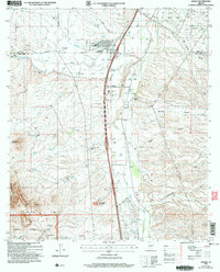
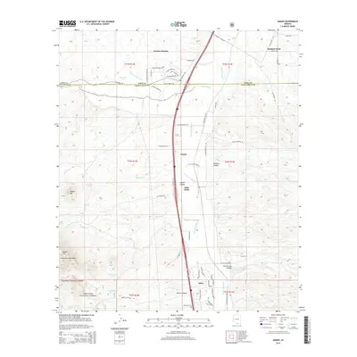
 2012 Amado2012 Print · USGSCovers Arivaca Junction, including Amado, Agua Linda, and other nearby areas
 - 2014 Map of Amado, 2014 Print
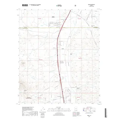
 2014 Amado2014 Print · USGSCovers Arivaca Junction, including Amado, Agua Linda, and other nearby areas
 - 2018 Map of Amado, 2018 Print
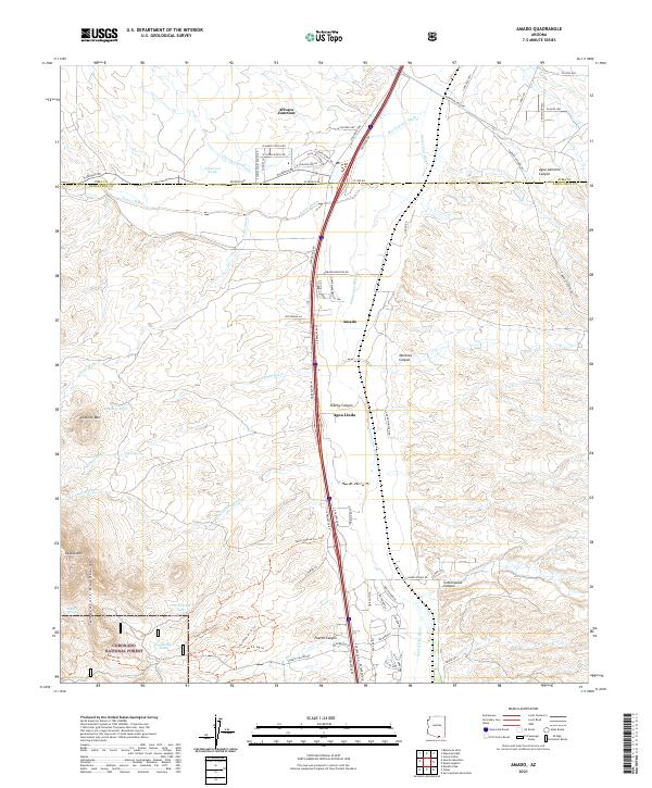
 2018 Amado2018 Print · USGSCovers Arivaca Junction, including Amado, Agua Linda, and other nearby areas
 - 2021 Map of Amado, 2021 Print
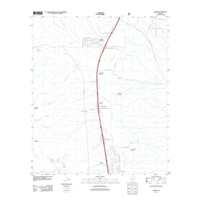
 2021 Amado2021 Print · USGSThe Santa Cruz River valley comes into focus in this recent survey of southern Arizona's ranching and transit corridor. Researchers can trace the development of Amado and Agua Linda or locate water sources like Diablito Spring and Patterson Tank near the Tumacacori Mountains.
End of results
Showing maps 1-14 of 14
Top cities near Arivaca Junction
Frequently asked questions
- What are the different types of historical maps available for Arivaca Junction?
- What is the oldest map of Arivaca Junction?
- Where can I purchase historical maps of Arivaca Junction for my home or office?
- Where can I download high-res historical maps of Arivaca Junction?
- Are there historical topographic maps available for Arivaca Junction?
- Is there historical aerial imagery available for Arivaca Junction?
- Where are historical maps of Arivaca Junction sourced from?