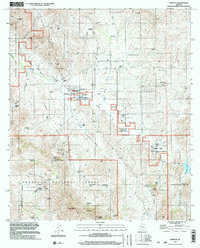
Old Maps of Arivaca, Arizona for Metal Detecting
Plan your next treasure hunt with 13 historic maps of Arivaca. Find old homesites, ghost towns, trails, and gathering spots that may be lost to time — perfect for identifying promising metal detecting locations.
- Locate forgotten sites: Uncover places like long-lost settlements, abandoned rail lines, or gathering spots.
- Plan better hunts: Use map overlays combined with LiDAR or satellite views to narrow in on historically rich areas.
- Made for detectorists: Thousands of hobbyists use these maps to discover relics, coins, and hidden history.
Use these historic maps to boost your research and find new opportunities beneath the surface of Arivaca.
Arivaca, AZ maps
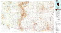
(13)- 1920 Map of Arivaca
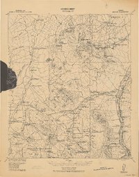 1920 Arivaca1920 Print · USGSSouthern Arizona ranching and mining country comes into focus in this post-World War I survey of the Santa Cruz Valley. Trace family roots and early industry near the Tumacacori Mission, Oceanic Mine, and the village of Arivaca.
 - 1941 Map of Arivaca, 1956 Print
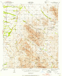 1941 Arivaca1956 Print · USGSIn the early 1940s, this southern Arizona cattle and mining district centered around Arivaca and its surrounding family ranches. Trace the legacy of desert prospecting at the Las Guijas Mine or locate historic homesteads like Canoa Ranch and Montana Ranch.2 unique versions available
 - 1943 Map of Arivaca
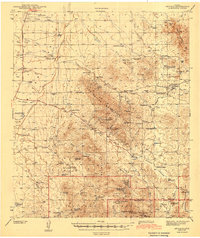 1943 Arivaca1943 Print · USGSIn the early 1940s, this pocket of Pima County was a hub of hard-rock mining and cattle ranching. Researchers can trace family history through sites like Arivaca Ranch, find a lonely Cemetery, or locate dozens of mines including the Las Guijas Mine and Ajax Mine.3 unique versions available
 - 1956 Map of Nogales, 1963 Print
 1956 Nogales1963 Print · USGSSouthern Arizona in the mid-fifties is captured here from the Papago tribal lands to the San Pedro valley. Genealogists and historians can trace border settlements like Sasabe, the legacy of Tombstone, and old mining sites including the Mary G Mine.4 unique versions available
 - 1958 Map of Nogales
 1958 Nogales1958 Print · USGSSouthern Arizona in the late fifties was a landscape of international borders and high-desert outposts, dominated by the Huachuca Mountains and the Papago Indian Reservation. Local historians can trace old mining camps like Ruby and Greaterville or locate historic military grounds at the Fort Huachuca Military Reservation.
 - 1959 Map of Nogales
 1959 Nogales1959 Print · USGSThe Southern Arizona borderlands appear in the late fifties as a complex landscape of military ranges, tribal lands, and high-desert mining towns. Local historians can trace the Southern Pacific rail lines connecting Tombstone and Benson or locate family ranches such as Canoa Ranch.
 - 1979 Map of Arivaca, 1980 Print
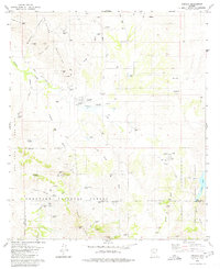 1979 Arivaca1980 Print · USGSArivaca and the surrounding high desert cattle country are captured here in the late seventies as the region balanced its mining past with modern ranching. Researchers can locate family landmarks like Honnas Ranch, the local Cem, and historical workings including the Amado Mine.2 unique versions available
 - 1994 Map of Sells
 1994 Sells1994 Print · USGSSouthern Arizona in the mid-nineties shows a landscape of deep cultural history, from the Tohono O'odham Nation to the historic Santa Cruz River valley. Genealogists and historians can trace desert settlements like Pisinimo, explore the border town of Sasabe, and locate the mining operations at Mission Mine.2 unique versions available
 - 1996 Map of Arivaca, 2002 Print
 1996 Arivaca2002 Print · USGSThe high desert country of Pima and Santa Cruz counties appears here in the mid-1990s, where traditional ranching meets modern wildlife conservation. Genealogists and historians can trace family holdings like Montanas Ranch or explore the cluster of mining claims including the Ajax Mine and Amado Mine.
 - 2012 Map of Arivaca, 2012 Print
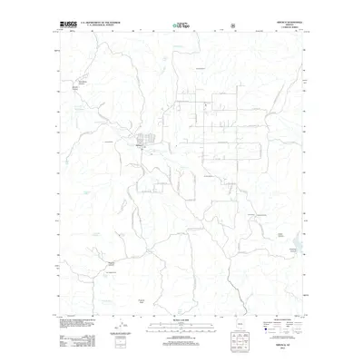 2012 Arivaca2012 Print · USGSCovers Arivaca, including Pima County, Santa Cruz County, and other nearby areas
 - 2014 Map of Arivaca, 2014 Print
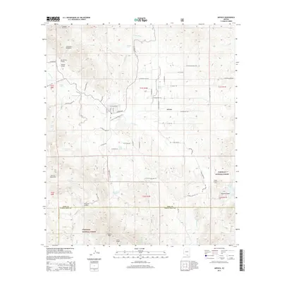 2014 Arivaca2014 Print · USGSCovers Arivaca, including Pima County, Santa Cruz County, and other nearby areas
 - 2018 Map of Arivaca, 2018 Print
 2018 Arivaca2018 Print · USGSCovers Arivaca, including Pima County, Santa Cruz County, and other nearby areas
 - 2021 Map of Arivaca, 2021 Print
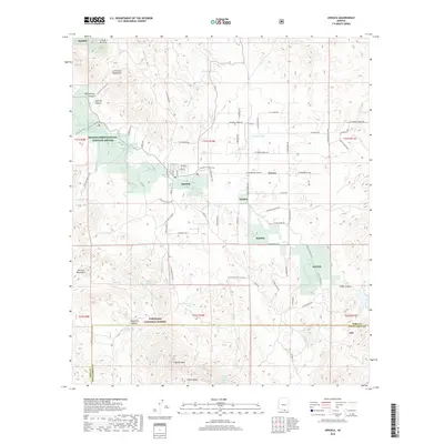
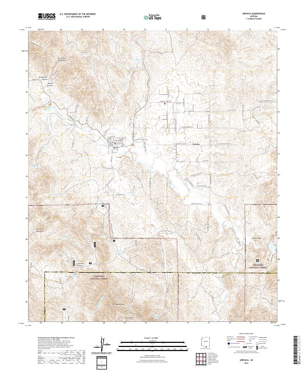 2021 Arivaca2021 Print · USGSArivaca and the surrounding high-desert borderlands are shown here in the 2020s, highlighting the area's complex ranching and conservation history. Trace local genealogy at the Arivaca Cem or follow old routes like W Yellow Jacket Mine Rd into the Coronado National Forest.
End of results
Showing maps 1-13 of 13
Top cities near Arivaca
Frequently asked questions
- What are the different types of historical maps available for Arivaca?
- What is the oldest map of Arivaca?
- Where can I purchase historical maps of Arivaca for my home or office?
- Where can I download high-res historical maps of Arivaca?
- Are there historical topographic maps available for Arivaca?
- Is there historical aerial imagery available for Arivaca?
- Where are historical maps of Arivaca sourced from?