2020s Maps of Littletown, Arizona
Explore 2 historic maps of Littletown from the 2020s. These maps offer a rare glimpse into what life looked like during the 2020s — showing old roads, neighborhoods, homes, and landmarks that have changed or disappeared over time.
Whether you're researching your family's past, planning a metal detecting trip, or studying how Littletown's landscape evolved across the 2020s, these high-resolution maps are a powerful tool for exploring the history of this region.
- Focus on a specific era: All maps on this page are from the 2020s, giving you a focused view of this time period.
- See what’s changed: Compare century-old streets, trails, and buildings to today's modern landscape using overlays and satellite layers.
- Research with precision: Use these maps for genealogy, historical research, land use analysis, or educational projects.
- View, download, or print: Maps are fully viewable online in high resolution, and can be downloaded or printed for your own records.
Start exploring Littletown's history through authentic maps from the 2020s. This is your window into the past.
Littletown, AZ maps
(2)- 2021 Map of Tucson East, 2021 Print
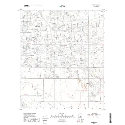 2021 Tucson East2021 Print · USGSCovers Littletown, including Tucson, Palo Verde Park, and other nearby areas
 - 2023 Map of Tucson East, 2023 Print
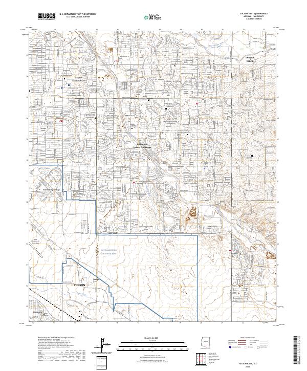 2023 Tucson East2023 Print · USGSEastern Tucson in the early twenty-first century showcases a landscape defined by military history and rapid suburban growth. Researchers can trace modern developments like Civano and Vandenberg Village alongside the vast Davis-Monthan Air Force Base.
End of results
Showing maps 1-2 of 2
Top cities near Littletown
- Tucson historical maps
- Marana historical maps
- Oro Valley historical maps
- Sahuarita historical maps
- Vail historical maps
- Corona de Tucson historical maps
See more
Frequently asked questions
- What are the different types of historical maps available for Littletown?
- What is the oldest map of Littletown?
- Where can I purchase historical maps of Littletown for my home or office?
- Where can I download high-res historical maps of Littletown?
- Are there historical topographic maps available for Littletown?
- Is there historical aerial imagery available for Littletown?
- Where are historical maps of Littletown sourced from?