2000s (21st Century) Maps of Sells, Arizona
Explore 62 historic maps of Sells from the 2000s (21st Century). These maps offer a rare glimpse into what life looked like during the 2000s — showing old roads, neighborhoods, homes, and landmarks that have changed or disappeared over time.
Whether you're researching your family's past, planning a metal detecting trip, or studying how Sells's landscape evolved across the 2000s, these high-resolution maps are a powerful tool for exploring the history of this region.
- Focus on a specific era: All maps on this page are from the 2000s, giving you a focused view of this time period.
- See what’s changed: Compare century-old streets, trails, and buildings to today's modern landscape using overlays and satellite layers.
- Research with precision: Use these maps for genealogy, historical research, land use analysis, or educational projects.
- View, download, or print: Maps are fully viewable online in high resolution, and can be downloaded or printed for your own records.
Start exploring Sells's history through authentic maps from the 2000s. This is your window into the past.
Sells, AZ maps
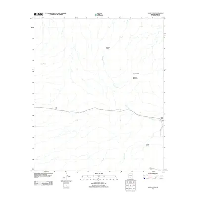
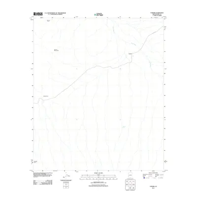
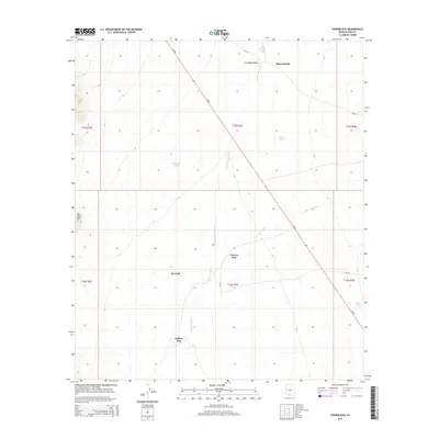
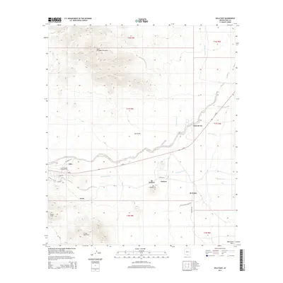
(62)- 2011 Map of Comobabi, 2011 Print
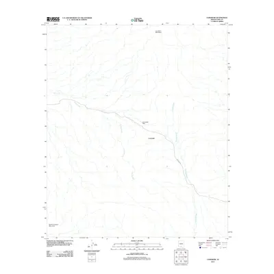 2011 Comobabi2011 Print · USGSCovers Sells, including Comobabi, Topawa, and other nearby areas
 - 2011 Map of Chukut Kuk, 2011 Print
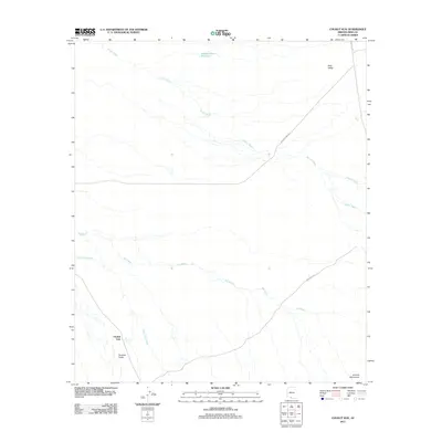 2011 Chukut Kuk2011 Print · USGSCovers Sells, including Chukut Kuk District, Chukut Kuk, and other nearby areas
 - 2011 Map of Kupk, 2011 Print
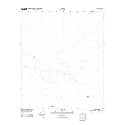 2011 Kupk2011 Print · USGSCovers Sells, including Kupk, Chukut Kuk District, and other nearby areas
 - 2011 Map of Gu Oidak, 2011 Print
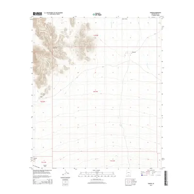
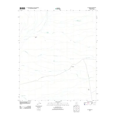 2011 Gu Oidak2011 Print · USGSCovers Sells, including Gu Oidak, Pima County, and other nearby areas
 - 2011 Map of Kots Kug Ranch, 2011 Print
 2011 Kots Kug Ranch2011 Print · USGSCovers Sells, including Chukut Kuk District, Pisinemo District, and other nearby areas
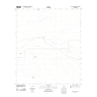
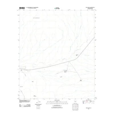
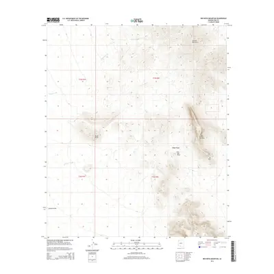
 - 2011 Map of Ben Nevis Mountain, 2011 Print
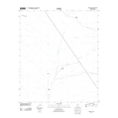
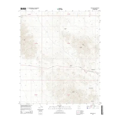
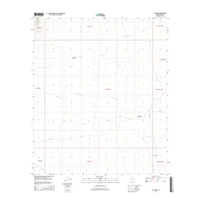
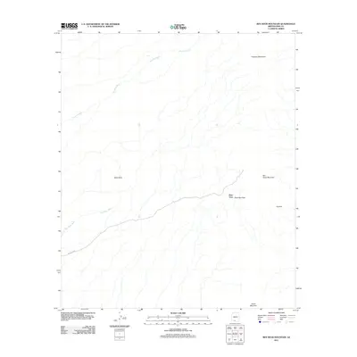 2011 Ben Nevis Mountain2011 Print · USGSCovers Sells, including Piato Vaya, Pisinemo District, and other nearby areas
 - 2011 Map of Gurli Put Vo, 2011 Print
 2011 Gurli Put Vo2011 Print · USGSCovers Sells, including Gu Achi District, Pima County, and other nearby areas
 - 2011 Map of Maish Vaya, 2011 Print
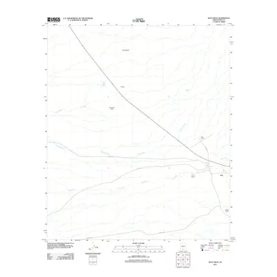
 2011 Maish Vaya2011 Print · USGSCovers Sells, including Maish Vaya, Pisinemo District, and other nearby areas
 - 2011 Map of Vainom Kug, 2011 Print
 2011 Vainom Kug2011 Print · USGSCovers Sells, including Vainom Kug, Sikul Himatk, and other nearby areas
 - 2011 Map of Ko Vaya, 2011 Print
 2011 Ko Vaya2011 Print · USGSCovers Sells, including Santa Lucia, Ko Vaya, and other nearby areas
 - 2011 Map of Sells West, 2011 Print
 2011 Sells West2011 Print · USGSCovers Sells, including Pima County, United States, and other nearby areas
 - 2011 Map of Topawa, 2011 Print
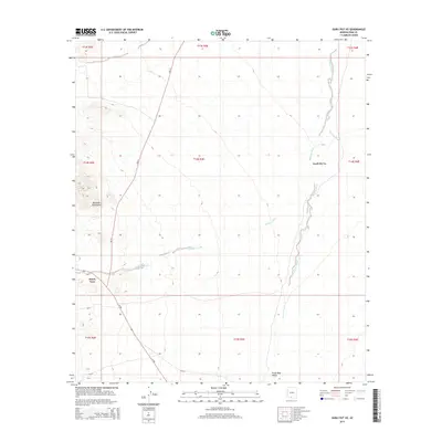
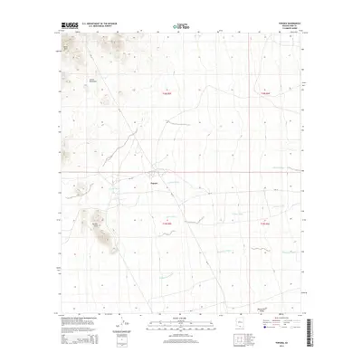
 2011 Topawa2011 Print · USGSCovers Sells, including Topawa, Topawa, and other nearby areas
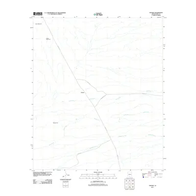
 - 2011 Map of Vamori, 2011 Print
 2011 Vamori2011 Print · USGSCovers Sells, including Topawa, Chukut Kuk District, and other nearby areas
 - 2011 Map of Sells East, 2011 Print
 2011 Sells East2011 Print · USGSCovers Sells, including Ali Chukson, Chukson, and other nearby areas
 - 2011 Map of Cowlic, 2011 Print
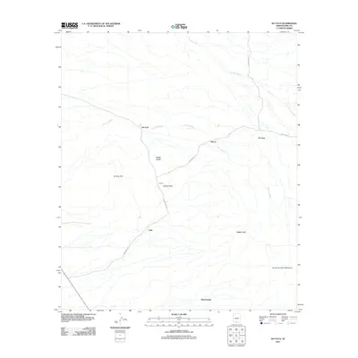
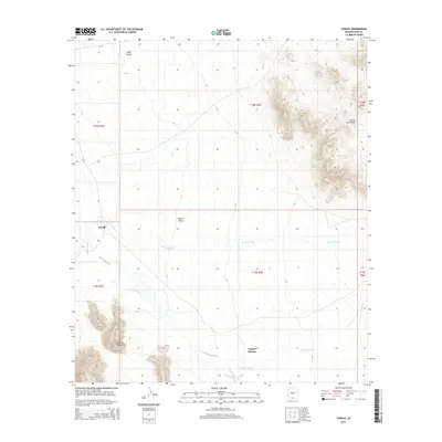
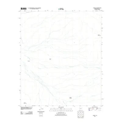 2011 Cowlic2011 Print · USGSCovers Sells, including Topawa, Chukut Kuk District, and other nearby areas
 - 2014 Map of Ben Nevis Mountain, 2014 Print
 2014 Ben Nevis Mountain2014 Print · USGSCovers Sells, including Piato Vaya, Pisinemo District, and other nearby areas
 - 2014 Map of Vainom Kug, 2014 Print
 2014 Vainom Kug2014 Print · USGSCovers Sells, including Vainom Kug, Sikul Himatk, and other nearby areas
 - 2014 Map of Gurli Put Vo, 2014 Print
 2014 Gurli Put Vo2014 Print · USGSCovers Sells, including Gu Achi District, Pima County, and other nearby areas
 - 2014 Map of Maish Vaya, 2014 Print
 2014 Maish Vaya2014 Print · USGSCovers Sells, including Maish Vaya, Pisinemo District, and other nearby areas
 - 2014 Map of Vamori, 2014 Print
 2014 Vamori2014 Print · USGSCovers Sells, including Topawa, Chukut Kuk District, and other nearby areas
 - 2014 Map of Topawa, 2014 Print
 2014 Topawa2014 Print · USGSCovers Sells, including Topawa, Topawa, and other nearby areas
 - 2014 Map of Cowlic, 2014 Print
 2014 Cowlic2014 Print · USGSCovers Sells, including Topawa, Chukut Kuk District, and other nearby areas
 - 2014 Map of Gu Oidak, 2014 Print
 2014 Gu Oidak2014 Print · USGSCovers Sells, including Gu Oidak, Pima County, and other nearby areas
 - 2014 Map of Sells East, 2014 Print
 2014 Sells East2014 Print · USGSCovers Sells, including Ali Chukson, Chukson, and other nearby areas
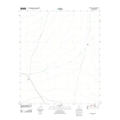
 - 2014 Map of Kupk, 2014 Print
 2014 Kupk2014 Print · USGSCovers Sells, including Kupk, Chukut Kuk District, and other nearby areas
Showing maps 1-25 of 62
Top cities near Sells
Top neighborhoods of Sells
- Vainom Kug historical maps
- Santa Cruz historical maps
- Sells historical maps
- Wickchoupai historical maps
- Artesa historical maps
- Gu Oidak historical maps
See more
Frequently asked questions
- What are the different types of historical maps available for Sells?
- What is the oldest map of Sells?
- Where can I purchase historical maps of Sells for my home or office?
- Where can I download high-res historical maps of Sells?
- Are there historical topographic maps available for Sells?
- Is there historical aerial imagery available for Sells?
- Where are historical maps of Sells sourced from?