Old Maps of Flowing Wells, Tucson for Metal Detecting
Plan your next treasure hunt with 28 historic maps of Flowing Wells. Find old homesites, ghost towns, trails, and gathering spots that may be lost to time — perfect for identifying promising metal detecting locations.
- Locate forgotten sites: Uncover places like long-lost settlements, abandoned rail lines, or gathering spots.
- Plan better hunts: Use map overlays combined with LiDAR or satellite views to narrow in on historically rich areas.
- Made for detectorists: Thousands of hobbyists use these maps to discover relics, coins, and hidden history.
Use these historic maps to boost your research and find new opportunities beneath the surface of Flowing Wells.
Flowing Wells, Tucson maps
(28)- 1904 Map of Tucson, 1957 Print
 1904 Tucson1957 Print · USGSTucson and its surrounding desert basins are captured here at the turn of the century as the railroad transformed this Pima County landscape. Genealogists and historians can locate early family holdings like Carrillos Ranch, the site of Old Fort Lowell, and the remote Loma Verde Mines.
 - 1905 Map of Tucson
 1905 Tucson1905 Print · USGSEarly 1900s Tucson is shown here as a railway hub at the base of the Rincon and Santa Catalina mountains. Genealogists and historians can trace numerous family homesteads like Pusch's Ranch, explore Old Fort Lowell, or locate the Loma Verde Mines.5 unique versions available
 - 1934 Map of Tucson Mountains
 1934 Tucson Mountains1934 Print · USGSThe desert northwest of Tucson comes into focus during the mid-1930s, showing the early footprints of the Papago Indian Reservation and the railroad corridor. Genealogists and historians can trace family-named sites and ranching outposts like Maisi Ayra Ranch, Rodriguez, and the Maish Roadside Mine.
 - 1947 Map of Cortaro
 1947 Cortaro1947 Print · USGSPima County in the late 1940s showcases a desert landscape of ranching, mining, and expanding aviation infrastructure. Trace family ranching roots at Oasis Ranch or explore early aviation at the U S Army Landing Field and Silver Bell Airport.
 - 1956 Map of Tucson, 1967 Print
 1956 Tucson1967 Print · USGSPost-war Southern Arizona comes into focus as the copper and aviation industries expand around Tucson. Trace family roots in South Tucson or locate early mining sites like the San Manuel Mine and Silver Bell Mine near the Santa Cruz River.3 unique versions available
 - 1957 Map of Cortaro, 1959 Print
 1957 Cortaro1959 Print · USGSThe Santa Cruz Valley in the late fifties shows a landscape of developing irrigation and cattle ranching between mountain ranges. Genealogists and historians can trace family-named properties like T-Bench-Bar Ranch, local mining at Gila Monster Mine, and early school sites such as Laguna School.2 unique versions available
 - 1957 Map of Tucson North, 1959 Print
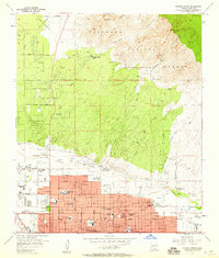 1957 Tucson North1959 Print · USGSTucson is seen during its post-war suburban surge into the desert foothills before the reach of the modern metropolis. Genealogists and historians can trace the footprint of early schools like Prince Sch, the Rilvito Park and Race Track, and the Pontatoc Mine.4 unique versions available
 - 1957 Map of Mount Lemmon, 1959 Print
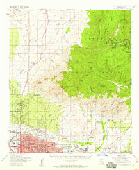 1957 Mount Lemmon1959 Print · USGSGreater Tucson and the high Santa Catalina peaks are captured in the late fifties as the city’s northern suburbs began to meet the desert foothills. Researchers can trace the mid-century footprint of the University of Arizona Farm, the historic Steam Pump Ranch, and mountain retreats like Summerhaven.3 unique versions available
 - 1958 Map of Tucson
 1958 Tucson1958 Print · USGSSouthern Arizona in the late fifties reveals a landscape of desert agriculture and rising military aviation. Trace the rail lines of the Southern Pacific or locate the historic San Xavier Del Bac Mission and the Casa Grande Natl Mon.
 - 1959 Map of Tucson
 1959 Tucson1959 Print · USGSSouthern Arizona in the late fifties shows a landscape of military growth and desert industry. Genealogists and historians can trace the footprint of Davis-Monthan Air Force Base and old mining sites like the San Manuel Mine near Mammoth.2 unique versions available
 - 1962 Map of Tucson
 1962 Tucson1962 Print · USGSSouthern Arizona in the early sixties showcases a landscape defined by burgeoning desert cities and massive military installations. Researchers can trace tribal settlements like Schuchk, legacy mining sites at Silver Bell Mine, and the early footprint of Davis-Monthan Air Force Base.
 - 1964 Map of Tucson
 1964 Tucson1964 Print · USGSSouthern Arizona in the mid-1960s shows a landscape of burgeoning desert cities and industrial-scale copper mining. Researchers can trace the development of Tucson and its outlying mining districts, including the Silver Bell Mine and San Manuel Mine.
 - 1968 Map of Jaynes, 1969 Print
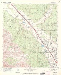 1968 Jaynes1969 Print · USGSNorthwest of Tucson in the late sixties, the desert landscape was transitioning from a ranching economy to suburban growth. Researchers can trace the original footprints of Sahuaro Ranch, find the Yuma Mine in the foothills, or locate the Freeway Airport and Stockham along the railroad.4 unique versions available
 - 1984 Map of Tucson North
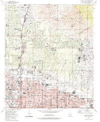 1984 Tucson North1984 Print · USGSNorth Tucson and the Catalina foothills come into focus in the mid-1980s as suburban development meets the wilderness. Researchers can trace established landmarks like Evergreen Cemetery, the Rillito Downs Race Track, and the growing neighborhoods of Casas Adobes.
 - 1992 Map of Jaynes, 1995 Print
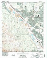 1992 Jaynes1995 Print · USGSNorthwest Tucson in the early nineties shows a desert landscape transitioning into a suburban hub along the Santa Cruz River. Trace the old Southern Pacific rail line past the Gila Monster Mine and the historic Cortaro Farms.
 - 1992 Map of Tucson North, 1995 Print
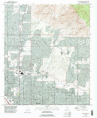 1992 Tucson North1995 Print · USGSTucson and its northern suburbs are captured in the early nineties as development presses against the Santa Catalina foothills. Researchers can trace the layout of Casas Adobes, find Evergreen Cemetery, and locate landmarks like Rillito Downs Racetrack.
 - 1994 Map of Tucson
 1994 Tucson1994 Print · USGSTucson and the Santa Cruz Valley appear here in the mid-1990s, caught between rapid urban growth and protected wilderness. Researchers can trace the development of Casas Adobes, the operations at Davis Monthan Air Force Base, and the rail lines of the Southern Pacific RR.2 unique versions available
 - 1994 Map of Silver Bell Mountains
 1994 Silver Bell Mountains1994 Print · USGSSouthern Arizona in the mid-nineties shows a land of transition between desert wilderness, tribal lands, and the growing Tucson suburbs. Genealogists and historians can trace settlements like San Luis and Ko Vaya, or follow the industrial legacy of the Silver Bell Mine.2 unique versions available
 - 1996 Map of Tucson North, 2002 Print
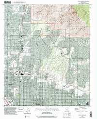 1996 Tucson North2002 Print · USGSNorthern Tucson and Casas Adobes meet the steep desert ridges in the mid-nineties. Researchers can locate community anchors like Evergreen Cemetery, the Rillito Downs Racetrack, and high peaks in the Pusch Ridge Wilderness.
 - 1996 Map of Jaynes, 2002 Print
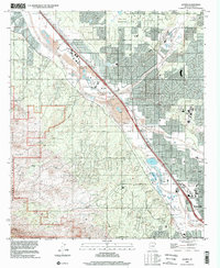 1996 Jaynes2002 Print · USGSThe Santa Cruz River valley northwest of Tucson shows a rapidly developing desert landscape in the late nineties. Genealogists and local historians can trace the rail-side settlements of Cortaro and Jaynes or locate the historic Gila Monster Mine in the foothills.
 - 2011 Map of Jaynes, 2011 Print
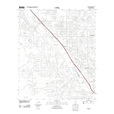 2011 Jaynes2011 Print · USGSThe northwest edge of the Tucson metro area is captured here during a period of rapid suburban and commercial expansion. Genealogists and local historians can trace the evolution of old desert holdings like Sahuaro Ranch and the community of Flowing Wells.
 - 2011 Map of Tucson North, 2011 Print
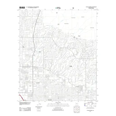 2011 Tucson North2011 Print · USGSNorthern Tucson and the mountain-fringed neighborhoods of the Santa Catalinas are documented here in the early twenty-first century. Genealogists and local historians can trace the developments of Casas Adobes or locate burials at Holy Hope Cemetery and Evergreen Cemetery.
 - 2014 Map of Tucson North, 2014 Print
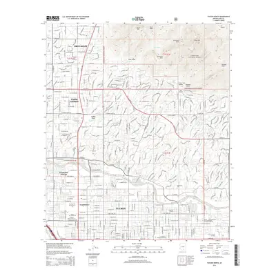 2014 Tucson North2014 Print · USGSThe northern Tucson valley meets the rugged Santa Catalina front in the early 21st century. Genealogists and local historians can trace legacy sites like the Tucson Pioneer Cemetery and Binghampton Cemetery near the Rillito River.
 - 2014 Map of Jaynes, 2014 Print
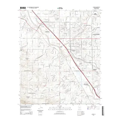 2014 Jaynes2014 Print · USGSThe northern edge of the Tucson basin comes into focus in the early twenty-first century as suburban growth meets the protected desert. Researchers can trace the intersection of the Santa Cruz River and Union Pacific Railroad near Jaynes and Cortaro.
 - 2018 Map of Tucson North, 2018 Print
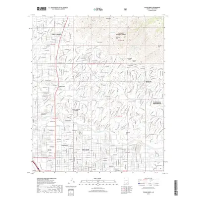 2018 Tucson North2018 Print · USGSTucson and Oro Valley are captured during a period of modern expansion in the late 2010s, where desert foothills meet the growing city. Genealogists can locate established burial sites like Binghampton Cem and Holy Hope Cem and Mausoleum among the winding streets of the Catalina Foothills.
Showing maps 1-25 of 28
Frequently asked questions
- What are the different types of historical maps available for Flowing Wells?
- What is the oldest map of Flowing Wells?
- Where can I purchase historical maps of Flowing Wells for my home or office?
- Where can I download high-res historical maps of Flowing Wells?
- Are there historical topographic maps available for Flowing Wells?
- Is there historical aerial imagery available for Flowing Wells?
- Where are historical maps of Flowing Wells sourced from?