Old Maps of The Preserve at Saddlebrooke, Pinal County for Hiking & Exploration
Hike through history with 12 historic maps of The Preserve at Saddlebrooke. Explore old trails, ghost towns, and forgotten backroads — perfect for outdoor adventurers and local explorers.
- Rediscover forgotten places: Map out old mining camps, roads, and footpaths that no longer exist on modern maps.
- Layer with modern tools: Combine with LiDAR or satellite views to plan hikes through historical terrain.
- Made for exploration: Popular among hikers, overlanders, and local history lovers.
Use these maps to find adventure and explore the hidden past of The Preserve at Saddlebrooke.
The Preserve at Saddlebrooke, Pinal County maps
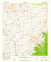
(12)- 1911 Map of Winkelman, 1957 Print
 1911 Winkelman1957 Print · USGSCovers The Preserve at Saddlebrooke, including Saddlebrooke, Oracle, and other nearby areas
 - 1913 Map of Winkelman
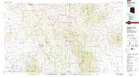
 1913 Winkelman1913 Print · USGSCovers The Preserve at Saddlebrooke, including Saddlebrooke, Oracle, and other nearby areas4 unique versions available
 - 1956 Map of Tucson, 1967 Print
 1956 Tucson1967 Print · USGSCovers The Preserve at Saddlebrooke, including Tucson, Maricopa, and other nearby areas3 unique versions available
 - 1958 Map of Tucson
 1958 Tucson1958 Print · USGSCovers The Preserve at Saddlebrooke, including Tucson, Maricopa, and other nearby areas
 - 1959 Map of Tucson
 1959 Tucson1959 Print · USGSCovers The Preserve at Saddlebrooke, including Tucson, Maricopa, and other nearby areas2 unique versions available
 - 1959 Map of Oracle, 1961 Print
 1959 Oracle1961 Print · USGSCovers The Preserve at Saddlebrooke, including Saddlebrooke, Oracle, and other nearby areas2 unique versions available
 - 1962 Map of Tucson
 1962 Tucson1962 Print · USGSCovers The Preserve at Saddlebrooke, including Tucson, Maricopa, and other nearby areas
 - 1964 Map of Tucson
 1964 Tucson1964 Print · USGSCovers The Preserve at Saddlebrooke, including Tucson, Maricopa, and other nearby areas
 - 1986 Map of Mammoth, 1987 Print
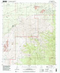
 1986 Mammoth1987 Print · USGSCovers The Preserve at Saddlebrooke, including Saddlebrooke, Oracle, and other nearby areas3 unique versions available
 - 1988 Map of Oracle, 1989 Print
 1988 Oracle1989 Print · USGSCovers The Preserve at Saddlebrooke, including Oracle, Pima County, and other nearby areas
 - 1996 Map of Oracle, 2002 Print
 1996 Oracle2002 Print · USGSCovers The Preserve at Saddlebrooke, including Oracle, Pima County, and other nearby areas
 - 2021 Map of Oracle, 2021 Print
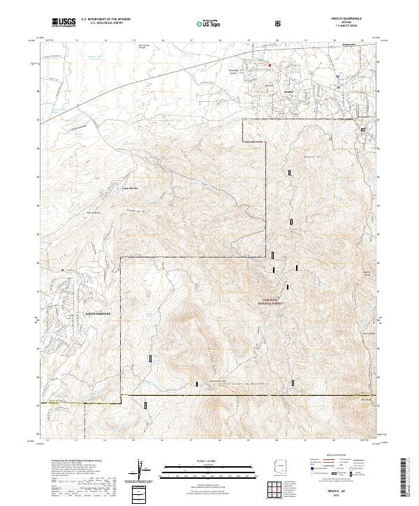 2021 Oracle2021 Print · USGSCovers The Preserve at Saddlebrooke, including Oracle, Pima County, and other nearby areas
End of results
Showing maps 1-12 of 12
Frequently asked questions
- What are the different types of historical maps available for The Preserve at Saddlebrooke?
- What is the oldest map of The Preserve at Saddlebrooke?
- Where can I purchase historical maps of The Preserve at Saddlebrooke for my home or office?
- Where can I download high-res historical maps of The Preserve at Saddlebrooke?
- Are there historical topographic maps available for The Preserve at Saddlebrooke?
- Is there historical aerial imagery available for The Preserve at Saddlebrooke?
- Where are historical maps of The Preserve at Saddlebrooke sourced from?