2000s (21st Century) Maps of Amado, Arizona
Explore 5 historic maps of Amado from the 2000s (21st Century). These maps offer a rare glimpse into what life looked like during the 2000s — showing old roads, neighborhoods, homes, and landmarks that have changed or disappeared over time.
Whether you're researching your family's past, planning a metal detecting trip, or studying how Amado's landscape evolved across the 2000s, these high-resolution maps are a powerful tool for exploring the history of this region.
- Focus on a specific era: All maps on this page are from the 2000s, giving you a focused view of this time period.
- See what’s changed: Compare century-old streets, trails, and buildings to today's modern landscape using overlays and satellite layers.
- Research with precision: Use these maps for genealogy, historical research, land use analysis, or educational projects.
- View, download, or print: Maps are fully viewable online in high resolution, and can be downloaded or printed for your own records.
Start exploring Amado's history through authentic maps from the 2000s. This is your window into the past.
Amado, AZ maps
(5)- 2004 Map of Amado, 2006 Print
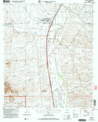 2004 Amado2006 Print · USGSThe Santa Cruz River valley comes into focus during the early 2000s, showing a mix of historic ranching and modern residential growth. Genealogists and researchers can trace family-named sites like Sopori Ranch and Rex Ranch or locate the Sopori Sch near Arivaca Junction.
 - 2012 Map of Amado, 2012 Print
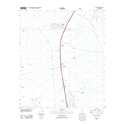 2012 Amado2012 Print · USGSCovers Amado, including Arivaca Junction, Agua Linda, and other nearby areas
 - 2014 Map of Amado, 2014 Print
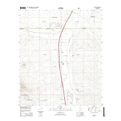 2014 Amado2014 Print · USGSCovers Amado, including Arivaca Junction, Agua Linda, and other nearby areas
 - 2018 Map of Amado, 2018 Print
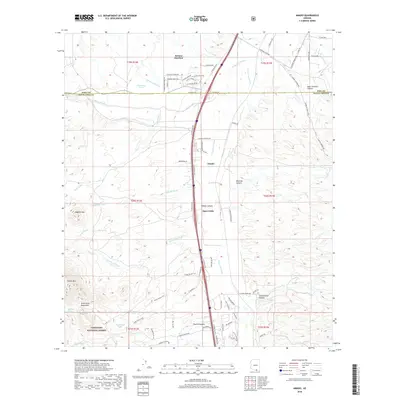 2018 Amado2018 Print · USGSCovers Amado, including Arivaca Junction, Agua Linda, and other nearby areas
 - 2021 Map of Amado, 2021 Print
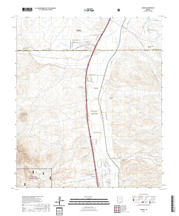 2021 Amado2021 Print · USGSThe Santa Cruz River valley comes into focus in this recent survey of southern Arizona's ranching and transit corridor. Researchers can trace the development of Amado and Agua Linda or locate water sources like Diablito Spring and Patterson Tank near the Tumacacori Mountains.
End of results
Showing maps 1-5 of 5
Top cities near Amado
Frequently asked questions
- What are the different types of historical maps available for Amado?
- What is the oldest map of Amado?
- Where can I purchase historical maps of Amado for my home or office?
- Where can I download high-res historical maps of Amado?
- Are there historical topographic maps available for Amado?
- Is there historical aerial imagery available for Amado?
- Where are historical maps of Amado sourced from?