Old Maps of Ruby, Arizona for Hiking & Exploration
Hike through history with 14 historic maps of Ruby. Explore old trails, ghost towns, and forgotten backroads — perfect for outdoor adventurers and local explorers.
- Rediscover forgotten places: Map out old mining camps, roads, and footpaths that no longer exist on modern maps.
- Layer with modern tools: Combine with LiDAR or satellite views to plan hikes through historical terrain.
- Made for exploration: Popular among hikers, overlanders, and local history lovers.
Use these maps to find adventure and explore the hidden past of Ruby.
Ruby, AZ maps
(14)- 1921 Map of Old Glory
 1921 Old Glory1921 Print · USGSThe Arizona borderlands appear as a network of cattle ranches and mining outposts in this early twentieth-century military reconnaissance. Genealogists and historians can trace family operations like Lopez, Alamito Ranch, and the Old Glory Mine.2 unique versions available
 - 1942 Map of Ruby
 1942 Ruby1942 Print · USGSThe Arizona-Mexico borderlands during the early 1940s reveal a landscape of remote mining claims and family-run cattle operations. Trace the history of the Dos Amigos Mine, the Pena Blanca CCC CAMP, and the settlement of Ruby amidst the high desert peaks.3 unique versions available
 - 1943 Map of Old Glory
 1943 Old Glory1943 Print · USGSThe Arizona-Mexico borderlands come into focus in this mid-century reconnaissance, capturing the mining and ranching life of the high desert. Researchers can trace the locations of Old Glory Mine, Ruby P.O. (Montana), and historic outposts like Tres Bellotas.
 - 1956 Map of Nogales, 1963 Print
 1956 Nogales1963 Print · USGSSouthern Arizona in the mid-fifties is captured here from the Papago tribal lands to the San Pedro valley. Genealogists and historians can trace border settlements like Sasabe, the legacy of Tombstone, and old mining sites including the Mary G Mine.4 unique versions available
 - 1957 Map of Ruby, 1958 Print
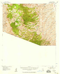 1957 Ruby1958 Print · USGSArizona's southern borderlands come alive in this mid-century survey of the high desert and rugged mining districts. Researchers can trace the layout of the Ruby settlement and locate historic workings like the Dos Amigos Mine and Big Steve Mine.3 unique versions available
 - 1958 Map of Nogales
 1958 Nogales1958 Print · USGSSouthern Arizona in the late fifties was a landscape of international borders and high-desert outposts, dominated by the Huachuca Mountains and the Papago Indian Reservation. Local historians can trace old mining camps like Ruby and Greaterville or locate historic military grounds at the Fort Huachuca Military Reservation.
 - 1959 Map of Nogales
 1959 Nogales1959 Print · USGSThe Southern Arizona borderlands appear in the late fifties as a complex landscape of military ranges, tribal lands, and high-desert mining towns. Local historians can trace the Southern Pacific rail lines connecting Tombstone and Benson or locate family ranches such as Canoa Ranch.
 - 1981 Map of Ruby
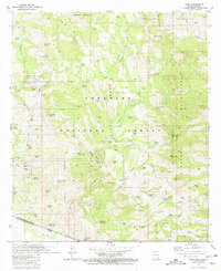 1981 Ruby1981 Print · USGSThe Arizona-Mexico borderlands come into focus in the early 1980s, centered on the mining district of Ruby and the Tumacacori Mountains. Genealogists and historians can trace the foundations of the regional economy through the Montana Mine and Atascosa Trail Ranch.3 unique versions available
 - 1994 Map of Atascosa Mountains
 1994 Atascosa Mountains1994 Print · USGSThe Arizona-Sonora borderlands come into focus in this mid-nineties survey of the Santa Cruz County high desert. Researchers can trace the remote outpost of Sasabe and the mining history near Oro Blanco or the Morning Star Mine.2 unique versions available
 - 2004 Map of Ruby, 2007 Print
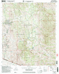 2004 Ruby2007 Print · USGSSanta Cruz County's high desert mining country is documented here just after the millennium, centered on the settlement of Ruby. Genealogists and historians can trace the local mining footprint through the Montana Mine, Oro Blanco Mine, and the Ruby Trail.
 - 2012 Map of Ruby, 2012 Print
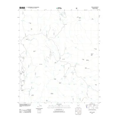 2012 Ruby2012 Print · USGSArizona's southern borderlands were still a rugged frontier of ranching and remote outposts in the early twenty-first century. Researchers can trace the paths through Old Glory Canyon and locate landmarks like Bear Valley Ranch or the Atascosa Lookout Number One Hundred.
 - 2014 Map of Ruby, 2014 Print
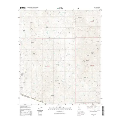 2014 Ruby2014 Print · USGSArizona's southern borderlands near Ruby are depicted in this modern survey of the Tumacacori Mountains and Coronado National Forest. Researchers can trace the drainages of Old Glory Canyon and Tres Amigos Gulch or find landmarks like the Ramanote Canyon Natural Arch.
 - 2018 Map of Ruby, 2018 Print
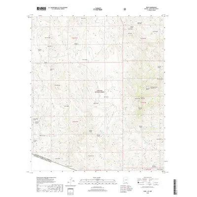 2018 Ruby2018 Print · USGSThe Arizona-Mexico borderlands south of the Tumacacori Mountains come into focus in this recent survey. Researchers can trace the rugged topography of the Atascosa Mountains and locate historic water sources like Ruby Lakes, Yanks Spring, and California Spring.
 - 2021 Map of Ruby, 2021 Print
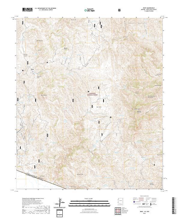 2021 Ruby2021 Print · USGSThe Arizona borderlands near the Santa Cruz and Pajarito Mountains are shown in detail as they appeared in recent years. Researchers can trace the rugged topography around Ruby and locate landmarks like the Ramanote Canyon Natural Arch and Atascosa Peak.
End of results
Showing maps 1-14 of 14
Frequently asked questions
- What are the different types of historical maps available for Ruby?
- What is the oldest map of Ruby?
- Where can I purchase historical maps of Ruby for my home or office?
- Where can I download high-res historical maps of Ruby?
- Are there historical topographic maps available for Ruby?
- Is there historical aerial imagery available for Ruby?
- Where are historical maps of Ruby sourced from?