Old Maps of Kohatk, Sif Oidak District for Hiking & Exploration
Hike through history with 17 historic maps of Kohatk. Explore old trails, ghost towns, and forgotten backroads — perfect for outdoor adventurers and local explorers.
- Rediscover forgotten places: Map out old mining camps, roads, and footpaths that no longer exist on modern maps.
- Layer with modern tools: Combine with LiDAR or satellite views to plan hikes through historical terrain.
- Made for exploration: Popular among hikers, overlanders, and local history lovers.
Use these maps to find adventure and explore the hidden past of Kohatk.
Kohatk, Sif Oidak District maps
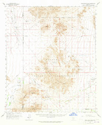
(17)- 1941 Map of Vekol Mountains
 1941 Vekol Mountains1941 Print · USGSMining activity and tribal settlements characterize this desert region in the late 1930s. Genealogists and historians can trace indigenous communities at Sif Vaya and Kohatk alongside early mineral prospects like the Vekol Mine and Reward Mine.
 - 1942 Map of Vekol Mountains
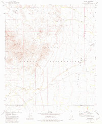
 1942 Vekol Mountains1942 Print · USGSThe high desert of southern Arizona comes into focus during the late 1930s as a hub for mineral exploration and tribal settlement. Miners and genealogists can trace the locations of the Vekol Mine, Copperosity Mine, and the settlement of Sif Vaya.
 - 1953 Map of Ajo, 1971 Print
 1953 Ajo1971 Print · USGSThe Arizona desert at mid-century reveals a landscape of massive copper mines, tribal reservations, and military testing grounds. Genealogists and historians can trace rail stopovers like Dateland and Mohawk or locate remote sites like the Reward Mine and Gu Achi (Santa Rosa).2 unique versions available
 - 1957 Map of Ajo
 1957 Ajo1957 Print · USGSSouthern Arizona in the fifties reveals a landscape of massive copper mines, remote desert wells, and tribal reservations. Genealogists and historians can trace old cattle outposts like Whitewing Ranch, the Tracy's Trading Post, and the copper works at Ajo.
 - 1958 Map of Ajo
 1958 Ajo1958 Print · USGSThe high desert of Pima and Yuma Counties during the late fifties shows a landscape of remote copper mines and military flight paths. Researchers can trace the Southern Pacific Railroad through Gila Bend and find heritage sites like O'Neills Grave or the Christmas Gift Mine.2 unique versions available
 - 1962 Map of Ajo
 1962 Ajo1962 Print · USGSSouthern Arizona in the early sixties was a landscape of deep-desert mining, military airfields, and tribal lands. Researchers can trace the Cornelia Mine near Ajo, remote outposts like Trays Trading Post, and the path of the Devils Highway.
 - 1963 Map of Ajo
 1963 Ajo1963 Print · USGSSouthwestern Arizona in the early sixties reveals a landscape of desert ranches and remote mining outposts. Trace the historic Southern Pacific line or locate isolated landmarks like O'Neils Grave and Tracy's Trading Post.
 - 1963 Map of Vekol Mountains, 1965 Print
 1963 Vekol Mountains1965 Print · USGSThe Papago Indian Reservation comes into focus during the early sixties, revealing a desert landscape where mining history and indigenous settlements overlap. Researchers can trace historic extraction at the Vekol Mine (Ruins) and Reward Mine, or locate small communities like Kohatk and Sif Vaya.2 unique versions available
 - 1967 Map of Ajo
 1967 Ajo1967 Print · USGSSouthern Arizona in the mid-1960s is depicted here as a landscape of military aviation and deep-desert ranching. Trace the historical mining operations at Vekol Mine or follow the Southern Pacific rail line through Gila Bend and Dateland.
 - 1981 Map of Kohatk
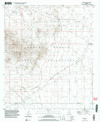
 1981 Kohatk1981 Print · USGSThe Papago Indian Reservation comes into focus during the early 1980s, documenting a landscape of isolated settlements and desert mining. Researchers can locate the community of Kohatk, old Ruins, and historic workings like the Christmas Gift Mine.
 - 1981 Map of Gila Bend, 1996 Print
 1981 Gila Bend1996 Print · USGSSouthern Arizona in the early eighties reveals a vast desert corridor shaped by military ranges, indigenous lands, and historical mining. Genealogists and historians can trace rail-side settlements like Theba and Piedra or locate the historic Vekol Mine and Reward Mine.
 - 1982 Map of Ajo
 1982 Ajo1982 Print · USGSThe Arizona-Sonora borderlands come into focus in the early eighties, showcasing a landscape of desert mining towns and expansive tribal lands. Trace the Southern Pacific rail line through Gila Bend or explore the remote settlements of Ajo and Lukeville.
 - 1996 Map of Kohatk, 2003 Print
 1996 Kohatk2003 Print · USGSThe Tohono O'odham Indian Reservation in the late twentieth century reveals a landscape of desert mining and traditional settlements. Researchers can locate the site of Sif Vaya, trace the Santa Rosa Wash, and identify mining operations like the Christmas Gift Mine and Reward Mine.
 - 2011 Map of Kohatk, 2011 Print
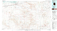
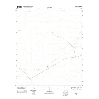 2011 Kohatk2011 Print · USGSCovers Kohatk, including Sif Oidak District, Pima County, and other nearby areas
 - 2014 Map of Kohatk, 2014 Print
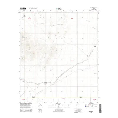 2014 Kohatk2014 Print · USGSCovers Kohatk, including Sif Oidak District, Pima County, and other nearby areas
 - 2018 Map of Kohatk, 2018 Print
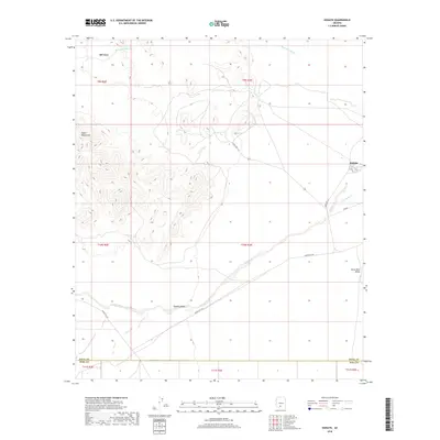 2018 Kohatk2018 Print · USGSCovers Kohatk, including Sif Oidak District, Pima County, and other nearby areas
 - 2021 Map of Kohatk, 2021 Print
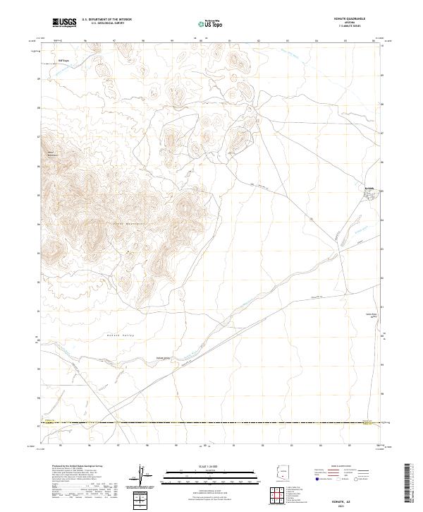 2021 Kohatk2021 Print · USGSThe desert landscape around Kohatk and the Tohono O'odham Nation is documented here as it appeared in the early 2020s. Researchers can trace the routes of State Hwy 142 and Indian Rte 242 as they cross the Kohatk Valley near Sif Vaya.
End of results
Showing maps 1-17 of 17
Top cities near Kohatk
Frequently asked questions
- What are the different types of historical maps available for Kohatk?
- What is the oldest map of Kohatk?
- Where can I purchase historical maps of Kohatk for my home or office?
- Where can I download high-res historical maps of Kohatk?
- Are there historical topographic maps available for Kohatk?
- Is there historical aerial imagery available for Kohatk?
- Where are historical maps of Kohatk sourced from?