Old Maps of Casa Rosa, Arizona for Genealogy
Trace your family roots with 13 historic maps of Casa Rosa. These high-res maps reveal old neighborhoods, homesites, landmarks, and streets — helping you uncover where your ancestors lived and how the area evolved over time.
- Explore historic neighborhoods: Identify where your relatives may have lived in the 1800s or 1900s.
- Compare maps over time: Trace the changes in streets, buildings, and landmarks for multi-generational research.
- Perfect for genealogy & ancestry research: Used by family historians and researchers to map out lineage and migration.
These maps are an incredible resource for exploring your personal connection to Casa Rosa's past.
Casa Rosa, AZ maps
(13)- 1954 Map of Phoenix, 1964 Print
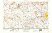 1954 Phoenix1964 Print · USGSMid-century Arizona is captured here as the Phoenix metropolitan area begins its rapid expansion into the surrounding desert. Genealogists and historians can trace the development of agricultural hubs like Buckeye and Tolleson, or locate remote landmarks like the Vulture Mine and Nottbusch Cem.5 unique versions available
- 1957 Map of Phoenix
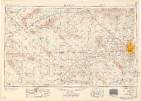 1957 Phoenix1957 Print · USGSGreater Phoenix and the central Arizona desert during the mid-fifties reveal a landscape of growing suburbs and active desert mines. Researchers can trace the legacy of local landmarks like Wickenburg Prison, the Vulture Mine, and the Tonopah Post Office.
- 1958 Map of Phoenix
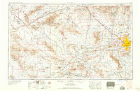 1958 Phoenix1958 Print · USGSThe Phoenix Valley enters a period of postwar expansion, where desert irrigation meets massive military aviation footprints. Trace the development of Phoenix and Glendale alongside the legendary Vulture Mine and the auxiliary runways of Luke Air Force Base.
- 1960 Map of Phoenix
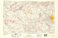 1960 Phoenix1960 Print · USGSCentral Arizona in the mid-fifties reveals a landscape of rapid suburban growth alongside enduring desert mining and ranching. Genealogists and historians can trace rail-side settlements like Vicksburg Junction and Waddell, or locate the Vulture Mine and early sites like Agua Fria School.
- 1964 Map of Governors Peak, 1965 Print
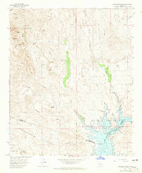 1964 Governors Peak1965 Print · USGSThe Arizona desert at the Yavapai and Maricopa county line reveals a landscape of remote ranches and ancient rock art in the mid-1960s. Genealogists and historians can trace routes to Castle Hot Springs, locate Petroglyphs, and explore the shoreline of Lake Pleasant.5 unique versions available
- 1969 Map of Phoenix, 1970 Print
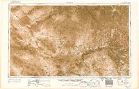 1969 Phoenix1970 Print · USGSCentral Arizona is seen at a technological turning point in the late sixties, using Apollo 9 space photography to map the desert landscape. Researchers can trace the growth of Sun City, locate old workings at Vulture Mine, and follow the Gila River past Buckeye.2 unique versions available
- 1971 Map of Phoenix
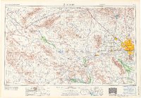 1971 Phoenix1971 Print · USGSCentral Arizona at the start of the seventies shows a desert metropolis expanding toward the Sun Valley retirement boom. Trace the growth of Sun City and Glendale, or locate remote historic sites like the Vulture Gold Mine and Nottbusch Cemetery.
- 1988 Map of Phoenix North, 1989 Print
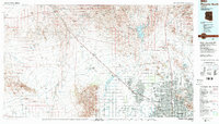 1988 Phoenix North1989 Print · USGSNorth of Phoenix in the late eighties, the desert landscape transitions from the mining heritage of Wickenburg to the burgeoning suburbs of the valley. Trace the paths of the Atchison Topeka and Santa Fe Railway or locate old operations like the Vulture Mine.2 unique versions available
- 2011 Map of Governors Peak, 2011 Print
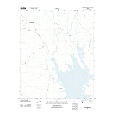 2011 Governors Peak2011 Print · USGSArizona's high desert landscape comes into focus during the early twenty-first century as it descends toward the northern waters of Lake Pleasant. Researchers can locate seasonal water sources and ranch sites like Castle Hot Springs, Casa Rosa, and Bog Ranch.
- 2014 Map of Governors Peak, 2014 Print
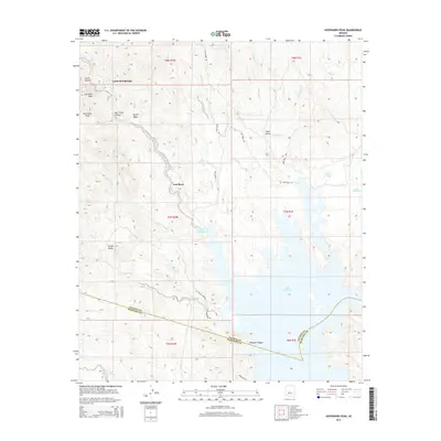 2014 Governors Peak2014 Print · USGSMaricopa County's desert landscape is captured here in the early twenty-first century, showing a region defined by its sparse water sources and remote outposts. Researchers can identify isolated points of interest like the settlement at Casa Rosa and the location of Alkali Spring.
- 2018 Map of Governors Peak, 2018 Print
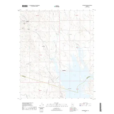 2018 Governors Peak2018 Print · USGSThe Arizona desert north of Phoenix comes alive in this contemporary survey of the Lake Pleasant region. Researchers can trace the trails around Castle Hot Springs, locate landmarks like Salvation Peak, and follow the modern Prickly Pedal Race Course across the mesas.
- 2021 Map of Governors Peak, 2021 Print
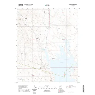 2021 Governors Peak2021 Print · USGSThe high desert of Maricopa and Yavapai Counties is captured in this contemporary look at the rugged peaks and canyons north of the Phoenix valley. Trace the remote trails around Castle Hot Springs and the northern inlets of Lake Pleasant near Salvation Peak.
- 2023 Map of Governors Peak, 2023 Print
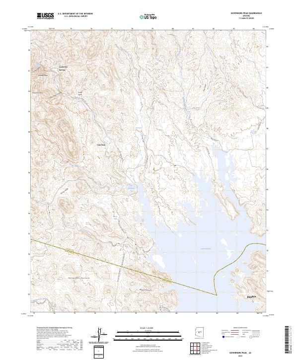 2023 Governors Peak2023 Print · USGSThe Arizona desert at the Yavapai-Maricopa line is detailed here in the early twenty-first century, showing the transition from mountain wilderness to reservoir shores. Researchers can locate remote landmarks like Castle Hot Springs, Casa Rosa, and the Hells Canyon Wilderness.
End of results
Showing maps 1-13 of 13
Top cities near Casa Rosa
- Phoenix historical maps
- Peoria historical maps
- Surprise historical maps
- Buckeye historical maps
- Anthem historical maps
- Black Canyon City historical maps
See more
Frequently asked questions
- What are the different types of historical maps available for Casa Rosa?
- What is the oldest map of Casa Rosa?
- Where can I purchase historical maps of Casa Rosa for my home or office?
- Where can I download high-res historical maps of Casa Rosa?
- Are there historical topographic maps available for Casa Rosa?
- Is there historical aerial imagery available for Casa Rosa?
- Where are historical maps of Casa Rosa sourced from?