Old Maps of Yuma, Arizona for Metal Detecting
Plan your next treasure hunt with 32 historic maps of Yuma. Find old homesites, ghost towns, trails, and gathering spots that may be lost to time — perfect for identifying promising metal detecting locations.
- Locate forgotten sites: Uncover places like long-lost settlements, abandoned rail lines, or gathering spots.
- Plan better hunts: Use map overlays combined with LiDAR or satellite views to narrow in on historically rich areas.
- Made for detectorists: Thousands of hobbyists use these maps to discover relics, coins, and hidden history.
Use these historic maps to boost your research and find new opportunities beneath the surface of Yuma.
Yuma, AZ maps
(32)- 1903 Map of Yuma, 1954 Print
 1903 Yuma1954 Print · USGSThe desert frontier around Yuma comes alive in this survey from the early 1900s, capturing the arrival of major irrigation and rail infrastructure. Genealogists and historians can trace the foundations of the Yuma Indian Reservation, the early layout of Somerton, and remote mining sites like the Picacho Mine.2 unique versions available
 - 1905 Map of Yuma
 1905 Yuma1905 Print · USGSThe Lower Colorado River borderlands come alive in the early 1900s, showing the early infrastructure of the Imperial Valley and the Yuma crossing. Genealogists and historians can trace the foundations of Somerton, the Yuma Indian Reservation, and remote desert mining camps like Hedges and Picacho Mine.5 unique versions available
 - 1926 Map of Fortuna, 1956 Print
 1926 Fortuna1956 Print · USGSArizona's desert mining and rail corridors are captured here during the mid-1920s as modern utilities began to cross the landscape. Genealogists and historians can trace the Southern Pacific line through Blaisdell or locate the remote Fortuna Mine.
 - 1929 Map of Fortuna
 1929 Fortuna1929 Print · USGSLower Arizona in the late twenties shows a landscape defined by the Gila River and the mining industry. Researchers can trace the Southern Pacific rail line through desert settlements like Blaisdell and Ligurta or locate the Fortuna Mine.4 unique versions available
 - 1940 Map of Yuma, 1956 Print
 1940 Yuma1956 Print · USGSYuma and the surrounding desert irrigation districts are captured here at the start of the 1940s as the river economy matured. Genealogists and local historians can trace the foundations of Somerton, the Indian Sch, and family-named schools like Crane Sch.3 unique versions available
 - 1942 Map of Yuma
 1942 Yuma1942 Print · USGSThe desert frontier near Yuma underwent a massive transformation during the early war years as irrigation and military infrastructure expanded. Researchers can trace the development of the All American Canal Project and locate numerous historic workings like the Fortuna Mine and Old Senator Mine.
 - 1945 Map of Yuma
 1945 Yuma1945 Print · USGSThe desert crossroads at Yuma come alive in this wartime-era survey, revealing the complex irrigation and rail networks that fueled the border economy. Genealogists and historians can locate early landmarks like Indian School Watertank, Crane Sch, and Yuma Cem.
 - 1952 Map of Yuma East, 1953 Print
 1952 Yuma East1953 Print · USGSYuma and its surrounding river valleys are captured here in the early fifties, documenting a landscape shaped by massive irrigation projects and historic western transit. Researchers can trace the Butterfield Stage Line Probable Route and locate landmarks like the Fort Yuma Indian School and Araby.
 - 1952 Map of Yuma West, 1953 Print
 1952 Yuma West1953 Print · USGSThe Arizona-California borderlands were a hub of massive irrigation and transit projects in the early fifties. Local historians can trace the Butterfield Stage Route, the Southern Pacific rail lines, and the engineering of Morelos Dam.
 - 1954 Map of El Centro
 1954 El Centro1954 Print · USGSThe Imperial Valley was at its mid-century agricultural peak when this survey recorded its vast irrigation network and desert borderlands. Researchers can trace the path of the All American Canal or locate local landmarks like Lantana School and the Tumco Mines.
 - 1955 Map of El Centro
 1955 El Centro1955 Print · USGSThe Imperial Valley and the Colorado River borderlands are captured here in the mid-fifties during the peak of the region's irrigation-driven expansion. Researchers can trace the desert's industrial history through the Tumco Mines, the Yuma Test Branch, and rural landmarks like the Palmetto School.
 - 1958 Map of El Centro, 1972 Print
 1958 El Centro1972 Print · USGSThe Imperial Valley's agricultural heartland and the Colorado River's edge are captured here during a period of massive water infrastructure and military expansion. Genealogists and historians can trace old mining sites like the Ferguson Mine, desert outposts such as Ogilby, and early rail lines including the San Diego and Arizona Eastern.4 unique versions available
 - 1961 Map of El Centro
 1961 El Centro1961 Print · USGSThe California-Arizona borderlands come alive in this early sixties record of desert irrigation and military expansion. Genealogists and researchers can trace the engineering of the All American Canal and locate vanished sites like Araz and the Imperial County Tuberculosis Sanatorium.
 - 1964 Map of El Centro
 1964 El Centro1964 Print · USGSThe agricultural heart of the California desert and the military test ranges of Arizona are revealed in this mid-century study. Genealogists and historians can trace the paths of the Southern Pacific railroad and the All American Canal near El Centro and Yuma.
 - 1965 Map of Fortuna, 1966 Print
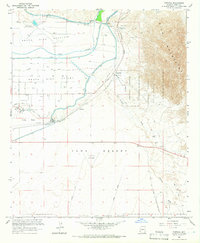 1965 Fortuna1966 Print · USGSYuma County during the mid-sixties showcases a desert landscape of massive irrigation projects and sprawling military ranges. Genealogists and historians can locate the Redondo Ruins (Butterfield Stage Sta), the isolated Blaisdell station, and the historic path of the Camino Del Diablo.4 unique versions available
 - 1965 Map of Yuma East, 1966 Print
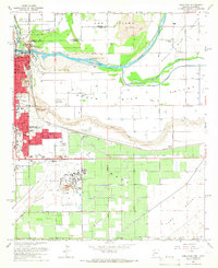 1965 Yuma East1966 Print · USGSThe confluence of the Colorado and Gila Rivers in the mid-1960s reveals a desert landscape transformed by massive irrigation and military infrastructure. Trace the early layout of Yuma, from the Yuma Territorial Prison to the US Marine Corps Air Station.3 unique versions available
 - 1965 Map of Yuma West, 1966 Print
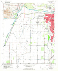 1965 Yuma West1966 Print · USGSYuma and the lower Colorado River valley appear here in the mid-sixties, showcasing a landscape defined by intensive irrigation and military presence. Genealogists and local historians can trace the development of neighborhood schools like Pecan Grove Sch or locate the Old Araz Stage Depot and Andrade (Site).4 unique versions available
 - 1993 Map of Yuma
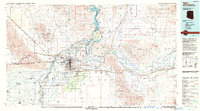 1993 Yuma1993 Print · USGSYuma and the lower Colorado River valley are documented here in the early nineties, showing a landscape defined by massive desert irrigation and military ranges. Trace the rail-and-water economy through the Southern Pacific line and sites like Imperial Dam or the Fortuna Mine.2 unique versions available
 - 1994 Map of Yuma East, 1998 Print
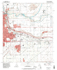 1994 Yuma East1998 Print · USGSYuma in the mid-1990s stands as a vital crossroads of river, rail, and military aviation at the Arizona-California border. Genealogists and historians can trace the urban footprint through landmarks like the City and County Cem, East Yard, and the St Thomas Yuma Indian Mission.
 - 1997 Map of Yuma West, 2003 Print
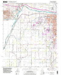 1997 Yuma West2003 Print · USGSThe Colorado River borderlands in the late twentieth century reveal a sophisticated landscape of desert irrigation and military presence. Researchers can trace the water works from Pilot Knob Hydro-electric Plant to the Hanlon Cem and the U S Marine Corps Air Station.
 - 2011 Map of Fortuna, 2011 Print
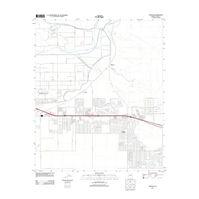 2011 Fortuna2011 Print · USGSThe Yuma area at the start of the 2010s shows a landscape of river-fed agriculture and desert expansion. Genealogists and local historians can trace the growth of Fortuna Foothills and locate the Northern Arizona University Yuma Campus near the Gila River.
 - 2011 Map of Yuma East, 2011 Print
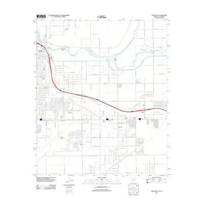 2011 Yuma East2011 Print · USGSYuma at the start of the twenty-first century reveals a desert landscape shaped by the Colorado River and a complex network of irrigation canals. Researchers can trace the development of the South Gila Valley or locate family sites at Yuma Cemetery and Araby.
 - 2011 Map of Yuma West, 2011 Print
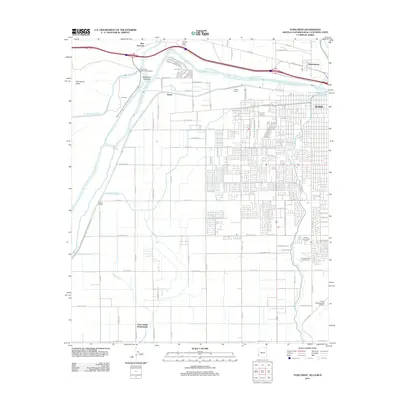 2011 Yuma West2011 Print · USGSThe desert frontier near the Colorado River comes to life in this early twenty-first-century survey. Genealogists and local historians can trace the Yuma Indian Homesteads and the historic Old Araz Stage Depot, alongside modern landmarks like Yuma and Winterhaven.
 - 2014 Map of Yuma East, 2014 Print
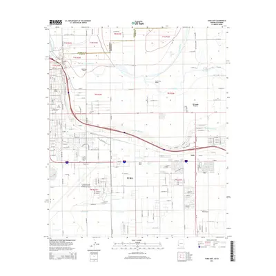 2014 Yuma East2014 Print · USGSYuma and its river valleys are mapped here in the early twenty-first century, showing the complex meeting of the Arizona and California borders. Researchers can trace the sprawling Yuma International Airport and local landmarks like Prison Hill and Yuma City Cem.
 - 2014 Map of Fortuna, 2014 Print
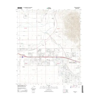 2014 Fortuna2014 Print · USGSThe desert landscape east of Yuma comes into focus during this period of suburban expansion and agricultural management. Genealogists and researchers can trace the growth of Fortuna Foothills and find specific local landmarks like Arizona Western Coll and the historic site of Blaisdell.
Showing maps 1-25 of 32
Top cities near Yuma
- Yuma historical maps
- Fortuna Foothills historical maps
- San Luis historical maps
- Somerton historical maps
- Avenue B & C historical maps
- Donovan Estates historical maps
See more
Top neighborhoods of Yuma
- Country Life Mobile Estates historical maps
- La Jolla del Valle historical maps
- Desert Air Mobile Estates historical maps
- Adams Acres historical maps
- Hettema Place historical maps
- R Circle J Estates historical maps
See more
Frequently asked questions
- What are the different types of historical maps available for Yuma?
- What is the oldest map of Yuma?
- Where can I purchase historical maps of Yuma for my home or office?
- Where can I download high-res historical maps of Yuma?
- Are there historical topographic maps available for Yuma?
- Is there historical aerial imagery available for Yuma?
- Where are historical maps of Yuma sourced from?