Old Maps of Crossett, Arkansas for Hiking & Exploration
Hike through history with 17 historic maps of Crossett. Explore old trails, ghost towns, and forgotten backroads — perfect for outdoor adventurers and local explorers.
- Rediscover forgotten places: Map out old mining camps, roads, and footpaths that no longer exist on modern maps.
- Layer with modern tools: Combine with LiDAR or satellite views to plan hikes through historical terrain.
- Made for exploration: Popular among hikers, overlanders, and local history lovers.
Use these maps to find adventure and explore the hidden past of Crossett.
Crossett, AR maps
(17)- 1953 Map of Greenwood, 1966 Print
 1953 Greenwood1966 Print · USGSThe Mississippi Delta in the mid-fifties is captured here as a thriving network of river towns, railroads, and oxbow lakes. Researchers can trace the legacy of the Illinois Central Railroad and locate landmarks like the State Penal Farm and Greenville Air Force Base.5 unique versions available
 - 1956 Map of Greenwood
 1956 Greenwood1956 Print · USGSThe Mississippi Delta in the mid-fifties is captured here during a period of significant military and agricultural activity. Researchers can trace the rail lines of the Illinois Central RR, find the Greenville Air Force Base, or locate the State Penal Farm.
 - 1973 Map of Crossett South, 1975 Print
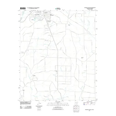
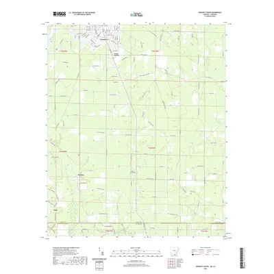
 1973 Crossett South1975 Print · USGSThe Arkansas-Louisiana borderlands come into focus in the early 1970s, showing the residential expansion of CROSSETT and its surrounding rural timber country. Researchers can trace local landmarks like Western Cem, the Old Railroad Grade, and small communities like Meridian and White.
 - 1973 Map of Crossett North, 1975 Print
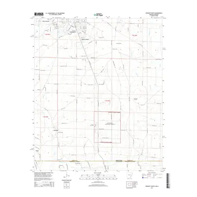
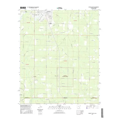
 1973 Crossett North1975 Print · USGSCrossett and Ashley County are captured in the early 1970s, revealing a busy industrial corridor at the Arkansas-Louisiana border. Genealogists and historians can trace rail-era landmarks and local sites like Quinn Chapel, Lakewood Cem, and Whitlow Junction.
 - 1978 Map of Hamburg
 1978 Hamburg1978 Print · USGSSoutheast Arkansas in the late seventies is captured here during a period of industrial and residential growth near the Louisiana border. Researchers can locate numerous country churches and schools such as Phillip Grove Ch, Beulah Land, and Anderson Sch.
 - 1986 Map of Crossett
 1986 Crossett1986 Print · USGSSoutheast Arkansas and the Mississippi Delta meet in the mid-1980s, revealing a landscape of rail-linked towns and river bottomlands. Researchers can trace the Missouri Pacific line through Hamburg and Parkdale or locate Millers Chapel and Winterville Mounds State Park.2 unique versions available
 - 2002 Map of Crossett South, 2003 Print
 2002 Crossett South2003 Print · USGSCrossing the state line into Louisiana at the turn of the millennium, this survey captures the industrial edge of the timber country and the quiet crossroads of the borderlands. Researchers can trace the Old Railroad Grade or locate family roots at Western Cem and the Norman Sch site.
 - 2011 Map of Crossett North, 2011 Print
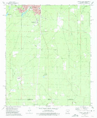
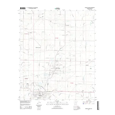
 2011 Crossett North2011 Print · USGSCovers Crossett, including North Crossett, Pugh, and other nearby areas
 - 2011 Map of Crossett South, 2011 Print
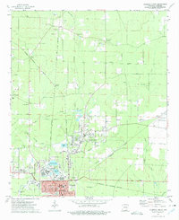
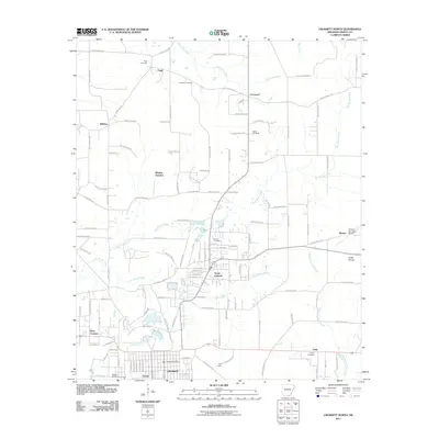
 2011 Crossett South2011 Print · USGSCovers Crossett, including Meridian, White, and other nearby areas
 - 2014 Map of Crossett North, 2014 Print
 2014 Crossett North2014 Print · USGSCovers Crossett, including North Crossett, Pugh, and other nearby areas
 - 2014 Map of Crossett South, 2014 Print
 2014 Crossett South2014 Print · USGSCovers Crossett, including Meridian, White, and other nearby areas
 - 2017 Map of Crossett South, 2017 Print
 2017 Crossett South2017 Print · USGSCovers Crossett, including Meridian, White, and other nearby areas
 - 2017 Map of Crossett North, 2017 Print
 2017 Crossett North2017 Print · USGSCovers Crossett, including North Crossett, Pugh, and other nearby areas
 - 2020 Map of Crossett South, 2020 Print
 2020 Crossett South2020 Print · USGSCovers Crossett, including Meridian, White, and other nearby areas
 - 2020 Map of Crossett North, 2020 Print
 2020 Crossett North2020 Print · USGSCovers Crossett, including North Crossett, Pugh, and other nearby areas
 - 2024 Map of Crossett North, 2024 Print
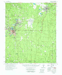
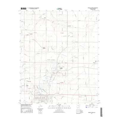
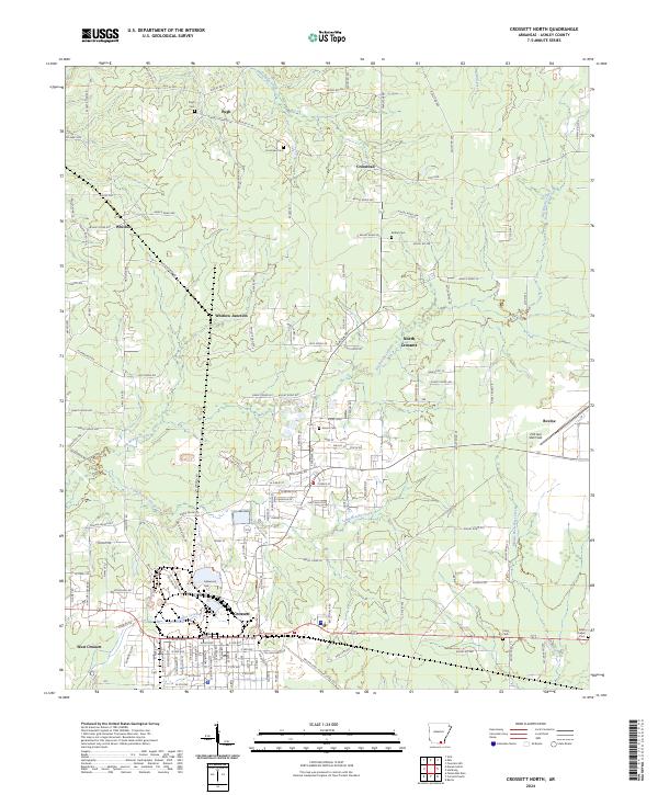 2024 Crossett North2024 Print · USGSSoutheastern Arkansas at the dawn of the 2020s shows the expansion of Crossett and its neighboring districts. Researchers can find family burial sites at Lakewood Cem and Unity Cem, and locate landmarks like Z M Jack Stell Field.
 - 2024 Map of Crossett South, 2024 Print
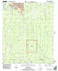
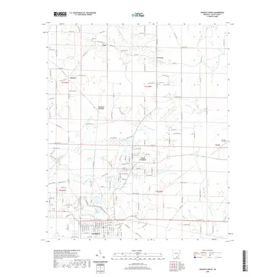
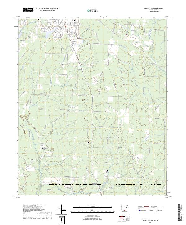 2024 Crossett South2024 Print · USGSSouth Arkansas meets the Louisiana border in this modern survey of the timber and creek lands south of the state line. Genealogists can trace family footprints at Ryles Chapel Cem, Rawls Cem, and the small settlement of Meridian.
End of results
Showing maps 1-17 of 17
Top cities near Crossett
- Hamburg historical maps
- North Crossett historical maps
- Huttig historical maps
- Felsenthal historical maps
Top neighborhoods of Crossett
- Cremer historical maps
- Forest Park Addition historical maps
- Oakhurst Addition historical maps
- South Crossett historical maps
Frequently asked questions
- What are the different types of historical maps available for Crossett?
- What is the oldest map of Crossett?
- Where can I purchase historical maps of Crossett for my home or office?
- Where can I download high-res historical maps of Crossett?
- Are there historical topographic maps available for Crossett?
- Is there historical aerial imagery available for Crossett?
- Where are historical maps of Crossett sourced from?