Old Maps of Lowell, Arkansas for Hiking & Exploration
Hike through history with 33 historic maps of Lowell. Explore old trails, ghost towns, and forgotten backroads — perfect for outdoor adventurers and local explorers.
- Rediscover forgotten places: Map out old mining camps, roads, and footpaths that no longer exist on modern maps.
- Layer with modern tools: Combine with LiDAR or satellite views to plan hikes through historical terrain.
- Made for exploration: Popular among hikers, overlanders, and local history lovers.
Use these maps to find adventure and explore the hidden past of Lowell.
Lowell, AR maps
(33)- 1899 Map of Fayetteville, 1954 Print
 1899 Fayetteville1954 Print · USGSNorthwest Arkansas at the close of the nineteenth century was a land of expanding railroads and deep-rooted Civil War history. Genealogists and historians can trace the foundations of the Ozarks through landmarks like the Pea Ridge Battlefield, Rheas Mill, and the early rail stops at Avoca and Lowell.
 - 1901 Map of Fayetteville
 1901 Fayetteville1901 Print · USGSNorthwest Arkansas is seen here at the start of the twentieth century as railroads and trade began to reshape the Ozark foothills. Researchers can locate the Pea Ridge Battlefield and Elkhorn Tavern, or trace early industrial sites like Osage Mills and Rhea's Mill.4 unique versions available
 - 1904 Map of Fayetteville
 1904 Fayetteville1904 Print · USGSNorthwest Arkansas was a land of emerging railroads and Civil War memory at the turn of the century. Genealogists can locate family homesteads near Rhea's Mill, the Pea Ridge Battlefield, and early river crossings like Vanwinkle Ferry.
 - 1954 Map of Tulsa
 1954 Tulsa1954 Print · USGSNortheast Oklahoma and the Ozark border are shown here during a period of massive industrial and infrastructure growth. Researchers can trace the legacy of the Tri-State Mining District and the development of major reservoirs like Grand Lake O' The Cherokees.2 unique versions available
 - 1958 Map of Sonora, 1959 Print
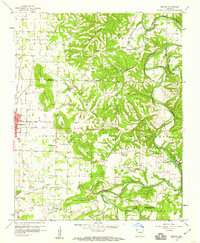 1958 Sonora1959 Print · USGSNorthwest Arkansas was entering a period of significant growth in the late fifties, as the borders of Springdale pushed toward the river bluffs. Researchers can trace ancestral locations through numerous rural landmarks like Accident Sch, Southern Grove Ch, and Nells Bluff Ford.4 unique versions available
 - 1958 Map of Rogers, 1959 Print
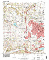
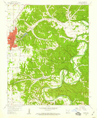 1958 Rogers1959 Print · USGSThe growing town of Rogers and the legendary resort at Monte Ne are captured here in the late fifties, just as the Ozark landscape began to modernize. Genealogists and researchers can trace family landmarks along the river bends, from Eden Ford and McElhaney Bluff to Prairie Creek Ch.4 unique versions available
 - 1958 Map of Tulsa, 1968 Print
 1958 Tulsa1968 Print · USGSNortheast Oklahoma and the Ozark borderlands are captured here during a massive era of reservoir construction and highway expansion. Researchers can trace the mid-century footprints of Tulsa, the sprawling Lake O' the Cherokees, and historical sites like Pea Ridge National Military Park.3 unique versions available
 - 1963 Map of Tulsa
 1963 Tulsa1963 Print · USGSThe Oklahoma and Arkansas borderlands are shown here in the early sixties, a time of massive reservoir construction and heavy mining. Genealogists can trace family roots through settlements like Nowata, Pryor, and Jay, or locate historical zinc and lead mines and coal mines.
 - 1970 Map of Bentonville South, 1972 Print
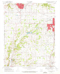 1970 Bentonville South1972 Print · USGSBentonville and Rogers were entering a period of significant regional growth when this survey was conducted. Researchers can trace mid-century development and family history through landmarks like Benton County Memorial Gardens, Dodson Cem, and the Minnow Farm.3 unique versions available
 - 1970 Map of Springdale, 1972 Print
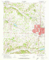 1970 Springdale1972 Print · USGSSpringdale and its neighbors in Washington and Benton counties are captured during a period of suburban expansion in the 1970s. Genealogists and local historians can locate specific landmarks like St Joseph Cem, New Hope Ch, and the old Salem Sch.3 unique versions available
 - 1979 Map of Fayetteville, 1980 Print
 1979 Fayetteville1980 Print · USGSNorthwest Arkansas and the tristate corner show a booming corridor of rail-linked towns and highland forests in the late seventies. Researchers can trace historic landmarks like Pea Ridge National Military Park, the Frisco RR, and the University of Arkansas.2 unique versions available
 - 1994 Map of Springdale, 1998 Print
 1994 Springdale1998 Print · USGSNorthwest Arkansas was undergoing rapid expansion in the 1990s as the urban centers of Springdale and Johnson began to merge. Researchers can trace family sites and old landmarks like Silent Grove Ch, Lake Elmdale, and the St Louis-San Francisco RR.
 - 1994 Map of Sonora, 1998 Print
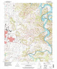 1994 Sonora1998 Print · USGSThe White River valley east of Springdale comes into focus in the mid-1990s as suburban growth meets rural Arkansas tradition. Genealogists and local historians can trace legacy sites like Accident Sch, Phillips Cem, and the small settlement of Sonora.
 - 2011 Map of Sonora, 2011 Print
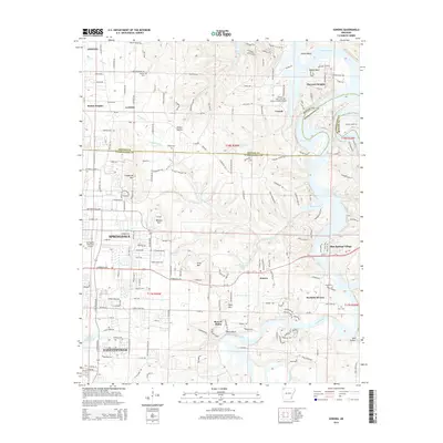
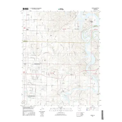
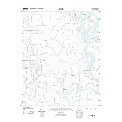 2011 Sonora2011 Print · USGSCovers Lowell, including Fayetteville, Springdale, and other nearby areas
 - 2011 Map of Bentonville South, 2011 Print
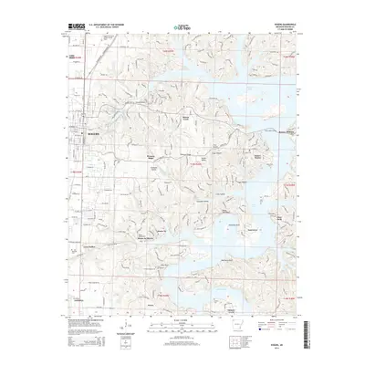
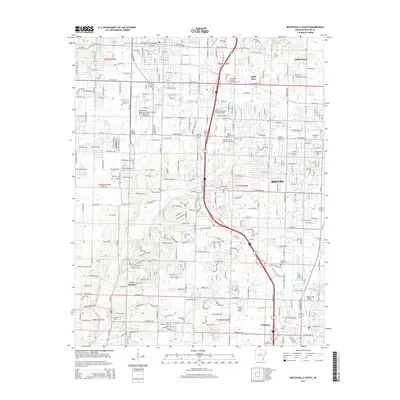
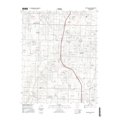
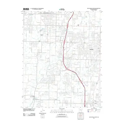 2011 Bentonville South2011 Print · USGSCovers Lowell, including Rogers, Bentonville, and other nearby areas
 - 2011 Map of Springdale, 2011 Print
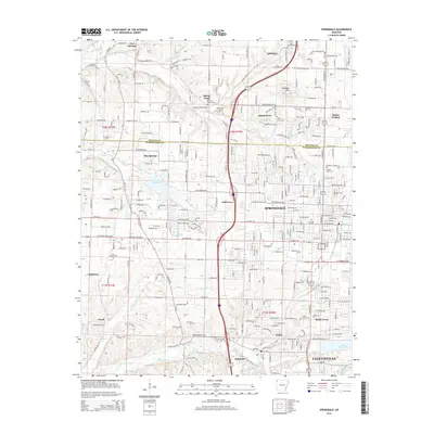
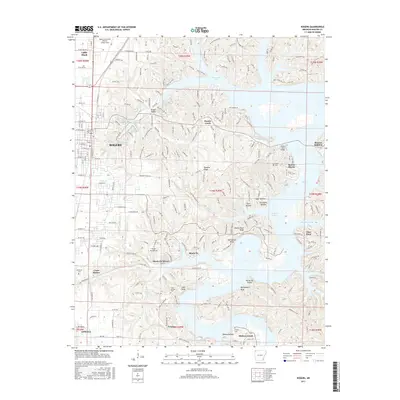
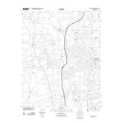 2011 Springdale2011 Print · USGSCovers Lowell, including Fayetteville, Springdale, and other nearby areas
 - 2011 Map of Rogers, 2011 Print
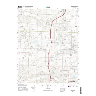
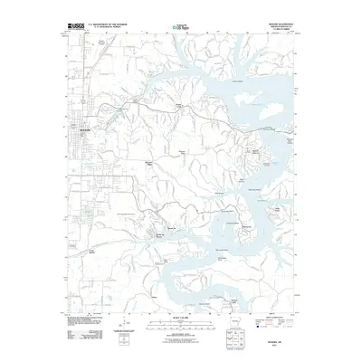 2011 Rogers2011 Print · USGSCovers Lowell, including Rogers, Little Flock, and other nearby areas
 - 2014 Map of Springdale, 2014 Print
 2014 Springdale2014 Print · USGSCovers Lowell, including Fayetteville, Springdale, and other nearby areas
 - 2014 Map of Rogers, 2014 Print
 2014 Rogers2014 Print · USGSCovers Lowell, including Rogers, Little Flock, and other nearby areas
 - 2014 Map of Sonora, 2014 Print
 2014 Sonora2014 Print · USGSCovers Lowell, including Fayetteville, Springdale, and other nearby areas
 - 2014 Map of Bentonville South, 2014 Print
 2014 Bentonville South2014 Print · USGSCovers Lowell, including Rogers, Bentonville, and other nearby areas
 - 2017 Map of Rogers, 2017 Print
 2017 Rogers2017 Print · USGSCovers Lowell, including Rogers, Little Flock, and other nearby areas
 - 2017 Map of Springdale, 2017 Print
 2017 Springdale2017 Print · USGSCovers Lowell, including Fayetteville, Springdale, and other nearby areas
 - 2017 Map of Sonora, 2017 Print
 2017 Sonora2017 Print · USGSCovers Lowell, including Fayetteville, Springdale, and other nearby areas
 - 2017 Map of Bentonville South, 2017 Print
 2017 Bentonville South2017 Print · USGSCovers Lowell, including Rogers, Bentonville, and other nearby areas
Showing maps 1-25 of 33
Top cities near Lowell
- Fayetteville historical maps
- Springdale historical maps
- Rogers historical maps
- Bentonville historical maps
- Bella Vista historical maps
- Centerton historical maps
See more
Top neighborhoods of Lowell
Frequently asked questions
- What are the different types of historical maps available for Lowell?
- What is the oldest map of Lowell?
- Where can I purchase historical maps of Lowell for my home or office?
- Where can I download high-res historical maps of Lowell?
- Are there historical topographic maps available for Lowell?
- Is there historical aerial imagery available for Lowell?
- Where are historical maps of Lowell sourced from?