Old Maps of Eudora, Arkansas for Academic Research
Study the evolution of Eudora with 17 high-resolution historic maps. Whether you're teaching, researching, or modeling changes in land use, these maps provide essential visual documentation of urban, environmental, and geographic change.
- Analyze long-term change: Track patterns in development, transportation, and natural features.
- Ideal for environmental or urban studies: Support academic projects with primary historical map data.
- Use in the classroom or lab: Educators and researchers rely on these maps to bring historical context to life.
These maps are a powerful tool for teaching, research, and visualizing how Eudora has changed over the decades.
Eudora, AR maps
(17)- 1936 Map of Eudora, 1943 Print
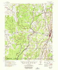
 1936 Eudora1943 Print · USGSSoutheast Arkansas and northeast Louisiana are captured here in the mid-1930s, showing a landscape shaped by water management and rail transport. Researchers can trace the early energy infrastructure of the Standard Oil Pipe Line or locate rural landmarks like Holly Ridge Ch and Empire.
 - 1953 Map of Greenwood, 1966 Print
 1953 Greenwood1966 Print · USGSThe Mississippi Delta in the mid-fifties is captured here as a thriving network of river towns, railroads, and oxbow lakes. Researchers can trace the legacy of the Illinois Central Railroad and locate landmarks like the State Penal Farm and Greenville Air Force Base.5 unique versions available
 - 1956 Map of Greenwood
 1956 Greenwood1956 Print · USGSThe Mississippi Delta in the mid-fifties is captured here during a period of significant military and agricultural activity. Researchers can trace the rail lines of the Illinois Central RR, find the Greenville Air Force Base, or locate the State Penal Farm.
 - 1957 Map of Eudora
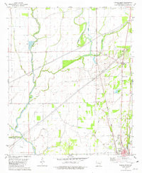
 1957 Eudora1957 Print · USGSSoutheast Arkansas and Northeast Louisiana are captured here in the late 1950s, showing a delta landscape defined by winding bayous and rural community life. Researchers can trace family roots through numerous local landmarks like Masons Cem, Ross Van Ness Sch, and Holly Sch.2 unique versions available
 - 1981 Map of Eudora North, 1982 Print
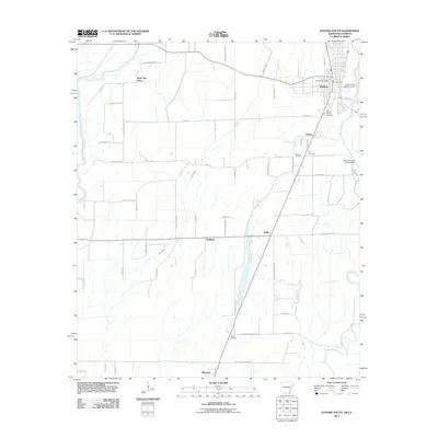
 1981 Eudora North1982 Print · USGSChicot County at the start of the 1980s reveals a delta landscape defined by meandering waterways and small agricultural crossroads. Genealogists and local historians can trace family roots through landmarks like Holly Ridge Ch, the Eudora townsite, and the rural junction at Gum Corner.
 - 1981 Map of Eudora South, 1982 Print
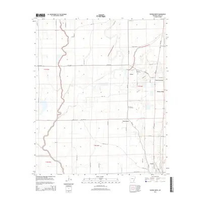
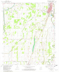 1981 Eudora South1982 Print · USGSThe Arkansas-Louisiana state line is captured here in the early eighties, showcasing a landscape of Delta farming and small-town life. Researchers can locate numerous country churches and cemeteries like Mt Carmel Cem & Ch, Omega Ch, and Masons Cem.
 - 1986 Map of Crossett
 1986 Crossett1986 Print · USGSSoutheast Arkansas and the Mississippi Delta meet in the mid-1980s, revealing a landscape of rail-linked towns and river bottomlands. Researchers can trace the Missouri Pacific line through Hamburg and Parkdale or locate Millers Chapel and Winterville Mounds State Park.2 unique versions available
 - 2011 Map of Eudora North, 2011 Print
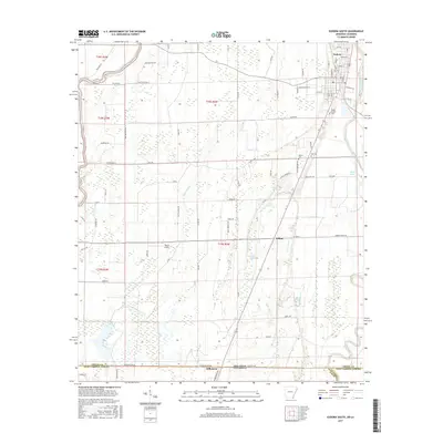
 2011 Eudora North2011 Print · USGSCovers Eudora, including Chicot, Chicot Junction, and other nearby areas
 - 2011 Map of Eudora South, 2011 Print
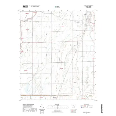
 2011 Eudora South2011 Print · USGSCovers Eudora, including Kilbourne, Ross Van Ness, and other nearby areas
 - 2014 Map of Eudora North, 2014 Print
 2014 Eudora North2014 Print · USGSCovers Eudora, including Chicot, Chicot Junction, and other nearby areas
 - 2014 Map of Eudora South, 2014 Print
 2014 Eudora South2014 Print · USGSCovers Eudora, including Kilbourne, Ross Van Ness, and other nearby areas
 - 2017 Map of Eudora North, 2017 Print
 2017 Eudora North2017 Print · USGSCovers Eudora, including Chicot, Chicot Junction, and other nearby areas
 - 2017 Map of Eudora South, 2017 Print
 2017 Eudora South2017 Print · USGSCovers Eudora, including Kilbourne, Ross Van Ness, and other nearby areas
 - 2020 Map of Eudora South, 2020 Print
 2020 Eudora South2020 Print · USGSCovers Eudora, including Kilbourne, Ross Van Ness, and other nearby areas
 - 2020 Map of Eudora North, 2020 Print
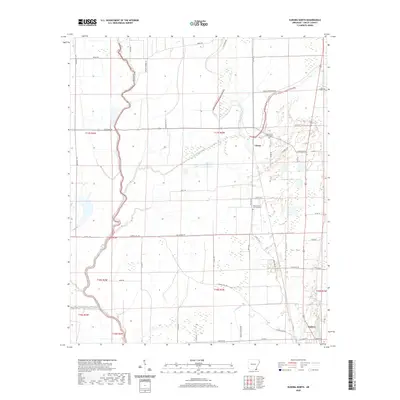 2020 Eudora North2020 Print · USGSCovers Eudora, including Chicot, Chicot Junction, and other nearby areas
 - 2024 Map of Eudora South, 2024 Print
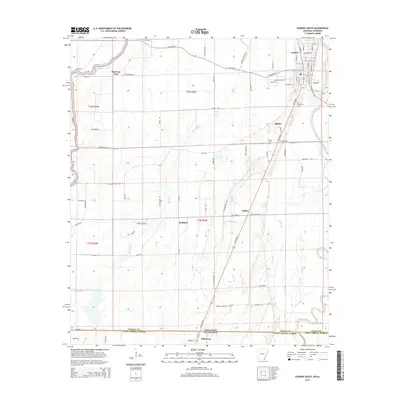
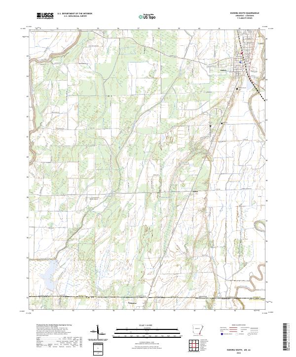 2024 Eudora South2024 Print · USGSThe Arkansas-Louisiana borderlands come into focus in this recent survey of the Chicot County region. Researchers can trace local lineage at Mount Carmel Cem or follow the winding courses of Bayou Macon and Boeuf River through the Delta landscape.
 - 2024 Map of Eudora North, 2024 Print
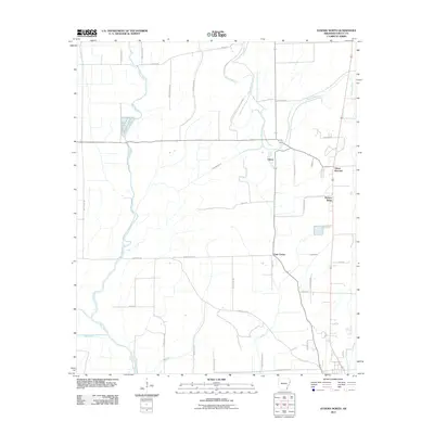
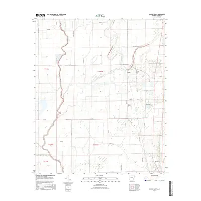
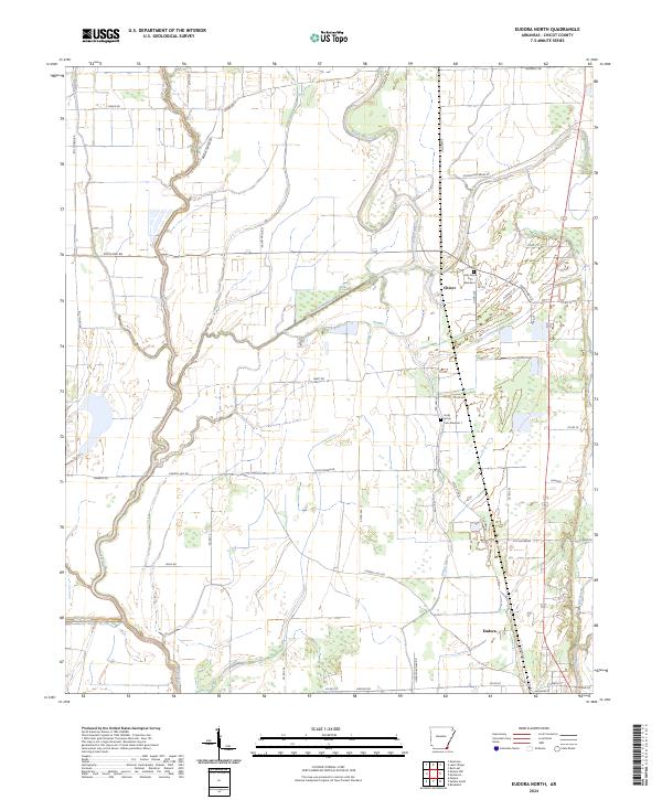 2024 Eudora North2024 Print · USGSChicot County at the edge of the Mississippi Delta is a landscape of winding waterways and rural crossroads. Researchers can trace family sites at Holly Grove Cem Number 1 or follow the paths of Bayou Macon and the Boeuf River.
End of results
Showing maps 1-17 of 17
Top cities near Eudora
- Greenville historical maps
- Lake Village historical maps
- Mayersville historical maps
- Kilbourne historical maps
- Montrose historical maps
Top neighborhoods of Eudora
Frequently asked questions
- What are the different types of historical maps available for Eudora?
- What is the oldest map of Eudora?
- Where can I purchase historical maps of Eudora for my home or office?
- Where can I download high-res historical maps of Eudora?
- Are there historical topographic maps available for Eudora?
- Is there historical aerial imagery available for Eudora?
- Where are historical maps of Eudora sourced from?