Old Maps of McMillan Corner, Arkansas for Academic Research
Study the evolution of McMillan Corner with 12 high-resolution historic maps. Whether you're teaching, researching, or modeling changes in land use, these maps provide essential visual documentation of urban, environmental, and geographic change.
- Analyze long-term change: Track patterns in development, transportation, and natural features.
- Ideal for environmental or urban studies: Support academic projects with primary historical map data.
- Use in the classroom or lab: Educators and researchers rely on these maps to bring historical context to life.
These maps are a powerful tool for teaching, research, and visualizing how McMillan Corner has changed over the decades.
McMillan Corner, AR maps
(12)- 1936 Map of Lake Village, 1949 Print
 1936 Lake Village1949 Print · USGSThe Arkansas Delta in the mid-1930s is defined by its winding waterways and the rise of the Missouri Pacific railroad. Genealogists and historians can trace old settlements like Jerome, Montrose, and Hudspeth along the shores of Chicot Lake.2 unique versions available
 - 1953 Map of Greenwood, 1966 Print
 1953 Greenwood1966 Print · USGSThe Mississippi Delta in the mid-fifties is captured here as a thriving network of river towns, railroads, and oxbow lakes. Researchers can trace the legacy of the Illinois Central Railroad and locate landmarks like the State Penal Farm and Greenville Air Force Base.5 unique versions available
 - 1955 Map of Lake Village
 1955 Lake Village1955 Print · USGSSoutheast Arkansas in the mid-fifties reveals a Delta landscape shaped by the oxbow of Lake Chicot and the Missouri Pacific Railroad. Genealogists can trace family footprints through numerous rural sites like Holly Grove Ch & Cem and Strangers Rest Ch & Cem.2 unique versions available
 - 1956 Map of Greenwood
 1956 Greenwood1956 Print · USGSThe Mississippi Delta in the mid-fifties is captured here during a period of significant military and agricultural activity. Researchers can trace the rail lines of the Illinois Central RR, find the Greenville Air Force Base, or locate the State Penal Farm.
 - 1975 Map of Lake Village NE, 1976 Print
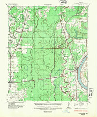
 1975 Lake Village NE1976 Print · USGSSoutheast Arkansas farmland meets the winding Bayou Macon in the mid-seventies, showing the region's transition into intensive large-scale agriculture. Researchers can pinpoint rural intersections and land use patterns near MACON LAKE and Mc Millan Corner.
 - 1981 Map of Macon Lake, 1982 Print
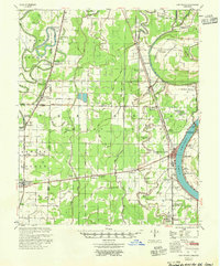
 1981 Macon Lake1982 Print · USGSChicot County's Delta bottomlands are captured here in the early eighties, showcasing a landscape of complex bayous and industrial drainage. Researchers can locate family landmarks like McMillan Corner, the Toliver Cem, and rural churches such as Pleasant Green Ch.
 - 1986 Map of Crossett
 1986 Crossett1986 Print · USGSSoutheast Arkansas and the Mississippi Delta meet in the mid-1980s, revealing a landscape of rail-linked towns and river bottomlands. Researchers can trace the Missouri Pacific line through Hamburg and Parkdale or locate Millers Chapel and Winterville Mounds State Park.2 unique versions available
 - 2011 Map of Macon Lake, 2011 Print
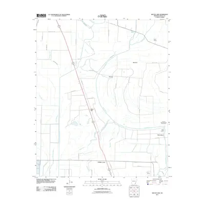 2011 Macon Lake2011 Print · USGSCovers McMillan Corner, including Yellow Bayou, Elmwood, and other nearby areas
 - 2014 Map of Macon Lake, 2014 Print
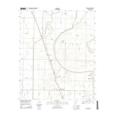 2014 Macon Lake2014 Print · USGSCovers McMillan Corner, including Yellow Bayou, Elmwood, and other nearby areas
 - 2017 Map of Macon Lake, 2017 Print
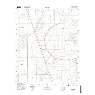 2017 Macon Lake2017 Print · USGSCovers McMillan Corner, including Yellow Bayou, Elmwood, and other nearby areas
 - 2020 Map of Macon Lake, 2020 Print
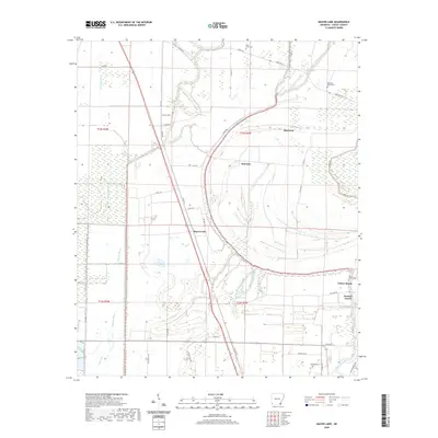 2020 Macon Lake2020 Print · USGSCovers McMillan Corner, including Yellow Bayou, Elmwood, and other nearby areas
 - 2024 Map of Macon Lake, 2024 Print
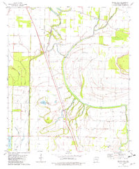
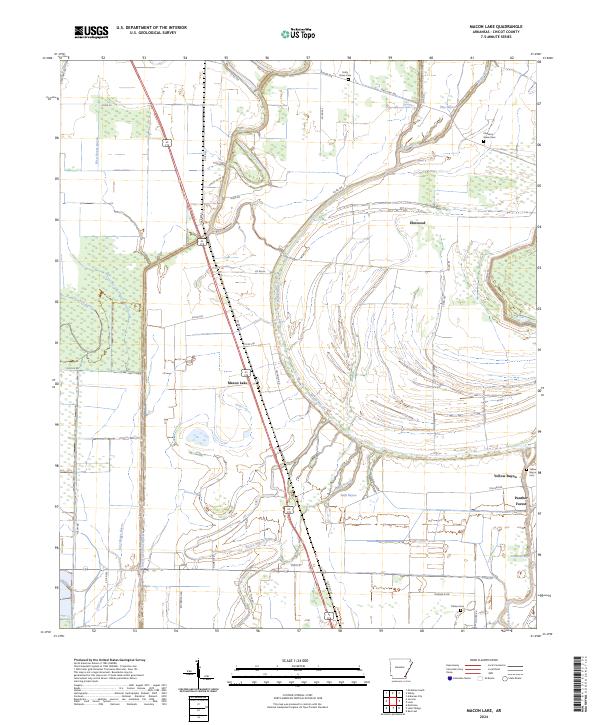 2024 Macon Lake2024 Print · USGSChicot County at the start of the 2020s shows a landscape of winding bayous and managed delta lands. Researchers can locate family landmarks such as Pleasant Green Cem and Tolliver Cem or trace the routes through Elmwood and Panther Forest.
End of results
Showing maps 1-12 of 12
Top cities near McMillan Corner
- Greenville historical maps
- McGehee historical maps
- Lake Village historical maps
- Dermott historical maps
- Portland historical maps
- Arkansas City historical maps
See more
Frequently asked questions
- What are the different types of historical maps available for McMillan Corner?
- What is the oldest map of McMillan Corner?
- Where can I purchase historical maps of McMillan Corner for my home or office?
- Where can I download high-res historical maps of McMillan Corner?
- Are there historical topographic maps available for McMillan Corner?
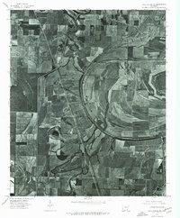
- Is there historical aerial imagery available for McMillan Corner?
- Where are historical maps of McMillan Corner sourced from?