Old Maps of Pearson, Arkansas for Genealogy
Trace your family roots with 13 historic maps of Pearson. These high-res maps reveal old neighborhoods, homesites, landmarks, and streets — helping you uncover where your ancestors lived and how the area evolved over time.
- Explore historic neighborhoods: Identify where your relatives may have lived in the 1800s or 1900s.
- Compare maps over time: Trace the changes in streets, buildings, and landmarks for multi-generational research.
- Perfect for genealogy & ancestry research: Used by family historians and researchers to map out lineage and migration.
These maps are an incredible resource for exploring your personal connection to Pearson's past.
Pearson, AR maps
(13)- 1956 Map of Russellville
 1956 Russellville1956 Print · USGSThe Arkansas River valley and the surrounding Boston Mountains are captured here in the mid-fifties, showing a landscape of small timber towns and new reservoirs. Genealogists can trace family roots through upland settlements like Pelsor and Witts Springs or locate the campus of Arkansas Polytechnic College.2 unique versions available
 - 1963 Map of Quitman, 1964 Print
 1963 Quitman1964 Print · USGSThe Cleburne County hills meet the rising waters of the new reservoir in the early sixties. Researchers can trace family sites near Quitman and Pearson or locate rural landmarks like Wesley Chapel and the Aldridge Cem.3 unique versions available
 - 1964 Map of Russellville
 1964 Russellville1964 Print · USGSMid-century Central Arkansas is defined here by the river-valley towns and the surrounding mountain ranges before the full expansion of the interstate system. Genealogists and historians can trace rail-town development along the Missouri Pacific Railroad and locate landmarks like Arkansas Polytechnic College or Petit Jean State Park.
 - 1977 Map of Russellville
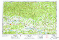 1977 Russellville1977 Print · USGSThe Arkansas River Valley and surrounding Ozark Mountains are documented here during a period of significant postwar growth and infrastructure development. Genealogists and researchers can locate family landmarks such as Mount Carmel Cem, St Josephs Church, and several remote Coal Mine sites along the Missouri Pacific RR line.
 - 1983 Map of Conway, 1984 Print
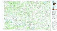 1983 Conway1984 Print · USGSThe Arkansas River valley in the early eighties shows a landscape of river-bend settlements and expanding wildlife areas. Genealogists and historians can trace the Missouri Pacific RR through old river towns like Toad Suck, Morrilton, and Menifee.
 - 1984 Map of Russellville
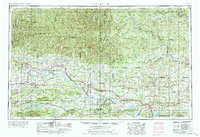 1984 Russellville1984 Print · USGSThe Arkansas River valley was undergoing significant change in the 1950s as transportation and water management reshaped the region from Russellville to Conway. Researchers can trace the era's rail networks like the Missouri Pacific RR and explore landmarks like Magazine Mountain and Petit Jean State Park.
 - 1991 Map of Quitman, 1995 Print
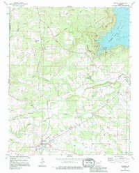 1991 Quitman1995 Print · USGSQuitman and the surrounding Cleburne County hills are shown during a period of transition as rural homesteads met the growing recreation of the lake. Researchers can locate family landmarks like Aldridge Cem, Wesley Chapel, and the historic site of Goff Ferry.
 - 1992 Map of Russellville, 1993 Print
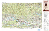 1992 Russellville1993 Print · USGSCentral Arkansas in the early nineties shows a landscape defined by the Arkansas River valley and the surrounding national forests. Trace the development of river towns like Russellville and Dardanelle alongside landmarks such as Lake Dardanelle and Magazine Mtn.
 - 2011 Map of Quitman, 2011 Print
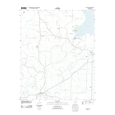 2011 Quitman2011 Print · USGSNorth-central Arkansas at the turn of the millennium shows a landscape defined by the rise of the Ozark foothills and the expanse of Greers Ferry Lake. Researchers can trace rural lineages through the Palestine Cemetery or explore the terrain around Pryor Mountain and Pearson.
 - 2014 Map of Quitman, 2014 Print
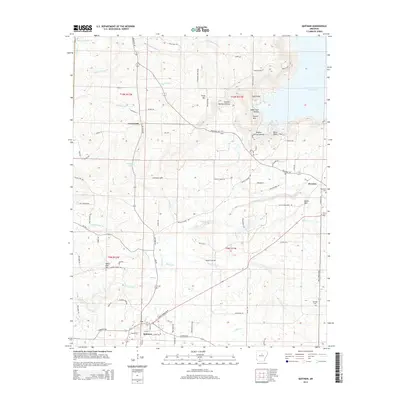 2014 Quitman2014 Print · USGSThe community of Quitman and its surrounding hill country are captured in this 2014 survey. Genealogists and local historians can trace family locations near Palestine Cemetery, Pearson, and the family-named heights of Bettis Mountain.
 - 2017 Map of Quitman, 2017 Print
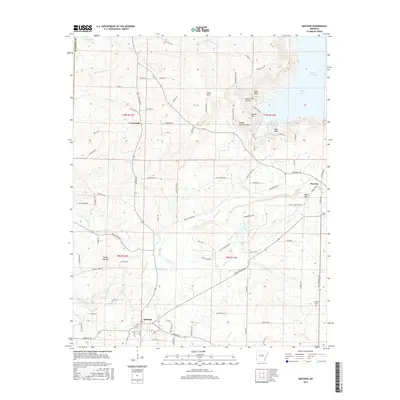 2017 Quitman2017 Print · USGSThe town of Quitman and the surrounding Cleburne County hills are captured here in the modern era. Genealogists and local historians can trace family-named sites and landmarks like the Aldridge Cem, Pryor Mtn, and the rural settlement at Pearson.
 - 2020 Map of Quitman, 2020 Print
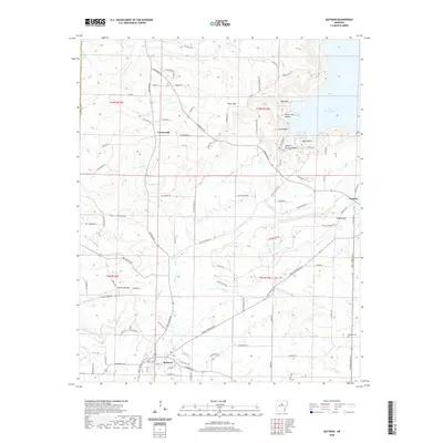 2020 Quitman2020 Print · USGSThe Cleburne County hills around Quitman are shown here as they appeared in 2020, where the southern reach of Greers Ferry Lake meets the upper Ozarks. Researchers can trace the rural road network connecting Crossroads and Pearson, or locate local landmarks like Aldridge Cem and Pryor Mtn.
 - 2024 Map of Quitman, 2024 Print
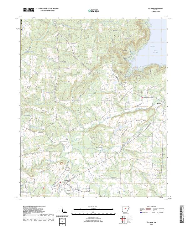 2024 Quitman2024 Print · USGSQuitman and the surrounding Cleburne County uplands are captured here in the contemporary era. Genealogists and local historians can trace the road networks connecting Crossroads and Pearson or locate the historic Aldridge Cem near the banks of Piney Creek.
End of results
Showing maps 1-13 of 13
Top cities near Pearson
- Heber Springs historical maps
- Fairfield Bay historical maps
- Greers Ferry historical maps
- Quitman historical maps
- Guy historical maps
- Rose Bud historical maps
See more
Frequently asked questions
- What are the different types of historical maps available for Pearson?
- What is the oldest map of Pearson?
- Where can I purchase historical maps of Pearson for my home or office?
- Where can I download high-res historical maps of Pearson?
- Are there historical topographic maps available for Pearson?
- Is there historical aerial imagery available for Pearson?
- Where are historical maps of Pearson sourced from?