Old Maps of Otwell, Arkansas for Metal Detecting
Plan your next treasure hunt with 12 historic maps of Otwell. Find old homesites, ghost towns, trails, and gathering spots that may be lost to time — perfect for identifying promising metal detecting locations.
- Locate forgotten sites: Uncover places like long-lost settlements, abandoned rail lines, or gathering spots.
- Plan better hunts: Use map overlays combined with LiDAR or satellite views to narrow in on historically rich areas.
- Made for detectorists: Thousands of hobbyists use these maps to discover relics, coins, and hidden history.
Use these historic maps to boost your research and find new opportunities beneath the surface of Otwell.
Otwell, AR maps
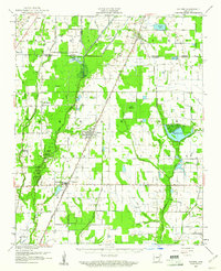
(12)- 1939 Map of Weiner, 1941 Print
 1939 Weiner1941 Print · USGSPoinsett County agricultural life centers on the rail corridor during the late thirties, before the modernization of the Delta landscape. Genealogists and historians can locate vanished rural landmarks such as O Bear Siding and schools like Beautiful Home Sch or Ukana Sch.3 unique versions available
 - 1953 Map of Memphis, 1966 Print
 1953 Memphis1966 Print · USGSEastern Arkansas and the Memphis riverfront are shown here during the mid-century period of regional growth and river management. Local historians can trace the paths of the Chicago Rock Island & Pacific RR through Forrest City or locate river landmarks like President's Island.3 unique versions available
 - 1956 Map of Memphis
 1956 Memphis1956 Print · USGSThe Mississippi Delta and the bluffs of West Tennessee meet in the mid-fifties, showing a landscape defined by massive river systems and rail hubs. Researchers can trace the path of Crowleys Ridge or locate vanished river landings near Centennial Island and Island No 35.
 - 1959 Map of Weiner, 1961 Print
 1959 Weiner1961 Print · USGSThe Arkansas Delta near the Poinsett and Craighead border shows a landscape defined by rice farming and rail transit in the late fifties. You can trace family roots at Walker Cem and local churches like Chilson Ch or explore the rail hubs of Weiner and Waldenburg.
 - 1960 Map of Weiner
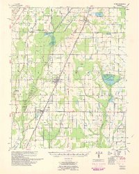 1960 Weiner1960 Print · USGSNortheast Arkansas at the dawn of the 1960s shows a landscape defined by the ST LOUIS SOUTHWESTERN rail line and reclaimed delta bottomlands. Researchers can trace rural life through landmarks like Walker Cem, Chilson Ch, and the sprawling Public Hunting Area.
 - 1980 Map of Otwell
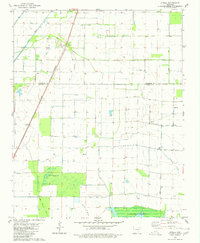 1980 Otwell1980 Print · USGSOtwell and the surrounding Arkansas Delta are captured here in the late 1970s as a landscape of managed waterways and rail transport. Researchers can trace the St Louis Southwestern tracks past Otwell Cem and explore the irrigation networks of Big Creek Ditch and Claypool Reservoir.
 - 1986 Map of Jonesboro
 1986 Jonesboro1986 Print · USGSNortheast Arkansas in the mid-eighties shows a landscape of intensive drainage and railroad junctions centered on the rise of Crowley's Ridge. Researchers can trace the rail corridors of the St Louis Southwestern Railway and explore the unique geography of Hatchie Coon Island and the Mississippi River floodplain.2 unique versions available
 - 2011 Map of Otwell, 2011 Print
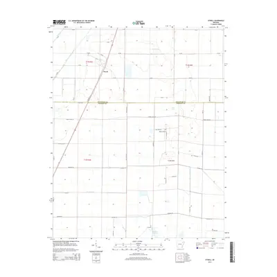
 2011 Otwell2011 Print · USGSCovers Otwell, including Craighead County, Poinsett County, and other nearby areas
 - 2014 Map of Otwell, 2014 Print
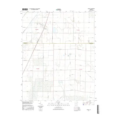
 2014 Otwell2014 Print · USGSCovers Otwell, including Craighead County, Poinsett County, and other nearby areas
 - 2017 Map of Otwell, 2017 Print
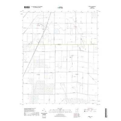
 2017 Otwell2017 Print · USGSCovers Otwell, including Craighead County, Poinsett County, and other nearby areas
 - 2020 Map of Otwell, 2020 Print
 2020 Otwell2020 Print · USGSCovers Otwell, including Craighead County, Poinsett County, and other nearby areas
 - 2024 Map of Otwell, 2024 Print
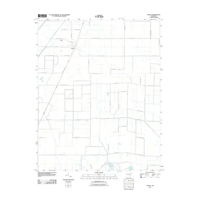
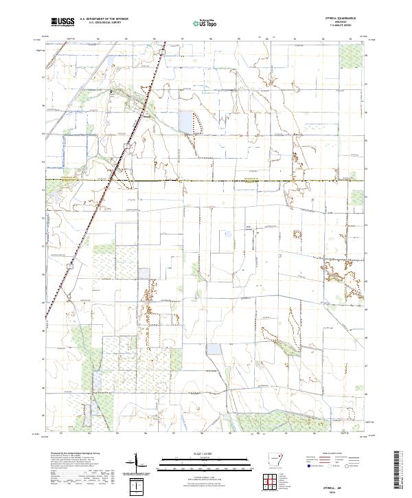 2024 Otwell2024 Print · USGSThe borderlands of Poinsett and Craighead Counties come into focus in this contemporary survey of the Arkansas Delta. Local historians can trace the rural infrastructure around the settlement of Otwell, including the Otwell Cem and Keller Airfield.
End of results
Showing maps 1-12 of 12
Top cities near Otwell
- Jonesboro historical maps
- Bono historical maps
- Harrisburg historical maps
- Weiner historical maps
- Cash historical maps
- Egypt historical maps
See more
Frequently asked questions
- What are the different types of historical maps available for Otwell?
- What is the oldest map of Otwell?
- Where can I purchase historical maps of Otwell for my home or office?
- Where can I download high-res historical maps of Otwell?
- Are there historical topographic maps available for Otwell?
- Is there historical aerial imagery available for Otwell?
- Where are historical maps of Otwell sourced from?