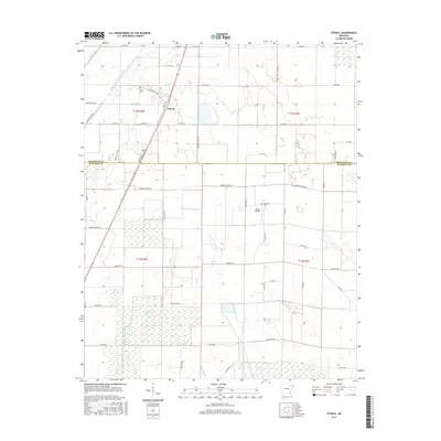
2017 Map of Otwell
USGS Topo · Published 2017About this map
Otwell serves as the primary hub for this portion of the Arkansas delta, situated near the boundary between Craighead Co and Poinsett Co. The landscape is defined by its extensive agricultural drainage systems, where Caney Ditch and Big Creek navigate a low-lying terrain etched with numerous lateral waterways like Mound Ditch. The presence of the Otwell Cem north of the main settlement and Keller Airfield to the east reflects the intersection of long-standing community roots and the modern aviation requirements of large-scale farming. Water management is a central theme of the geography, evidenced by features such as Chase Reservoir and the meandering path of Raccoon Bayou. Local transit follows a grid of county roads, including Senteney Rd and Punkin Center Rd, which connect the scattered rural homesteads to State Hwy 158.
Find a feature on this map
51 named features on this map. Tap any name to fly to it.
Don’t see what you’re looking for? This feature index may not catch every label — zoom into the map to look around manually.
Map Details
Editions of this 2017 Otwell Map
This is the sole edition of this map. No revisions or reprints were ever made.
Other maps of this area
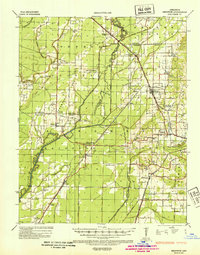
1935 · Sedgwick
USGS Topo · 1:62,500
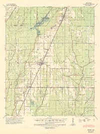
1939 · Weiner
USGS Topo · 1:62,500
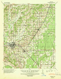
1939 · Jonesboro
USGS Topo · 1:62,500
1940 · Dee
USGS Topo · 1:62,500

1953 · Memphis
USGS Topo · 1:250,000
1956 · Memphis
USGS Topo · 1:250,000
1958 · Dee
USGS Topo · 1:62,500
1958 · Jonesboro
USGS Topo · 1:62,500
1959 · Weiner
USGS Topo · 1:62,500
1959 · Sedgwick
USGS Topo · 1:62,500