Loading...
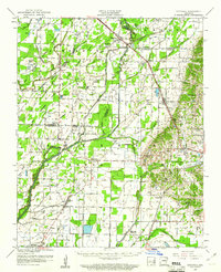
Loading map...1959 Map of Sedgwick
USGS Topo · Published 1961About this map
Sedgwick serves as a central hub in this lowland region where the St Louis San Francisco Rr and St Louis Southwestern Ry crisscross the landscape. The terrain is defined by the wandering paths of the Cache River and West Cache River, with an extensive network of flumes and ditches indicating a highly managed agricultural environment. This 1950s survey captures a rural social fabric built around small community centers such as Bono, Egypt, and Cash.
Find a feature on this map
48 named features on this map. Tap any name to fly to it.
Don’t see what you’re looking for? This feature index may not catch every label — zoom into the map to look around manually.
Map Details
Date Portrayed1959
Date Published1961
PublisherU.S. Geological Survey
Map TypeTopographic
Scale1:62,500
Physical Dimensions16.9 x 20.8 inches
Editions of this 1959 Sedgwick Map
This is the sole edition of this map. No revisions or reprints were ever made.
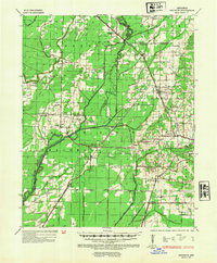
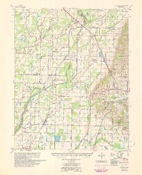
Historical Maps of Jonesboro Through Time
3 maps found
Featured Locations
Source Details
SourceU.S. Geological Survey
CopyrightPublic Domain