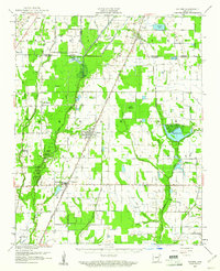
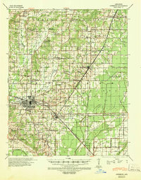
1959 Map of Weiner
USGS Topo · Published 1961About this map
The St Louis Southwestern railroad serves as the central spine of this landscape, connecting the agricultural hubs of Weiner and Waldenburg during a period of significant drainage and water management. Large-scale irrigation and conservation efforts are evident through prominent features like Claypool Reservoir, Chase Reservoir, and the Arkansas Game & Fish Commission public hunting area. These developments reflect the mid-century transformation of the Arkansas Delta's wetlands into a productive rice-growing region, mediated by the complex hydrology of Bayou De View and the L'Anguille River.
Find a feature on this map
27 named features on this map. Tap any name to fly to it.
Don’t see what you’re looking for? This feature index may not catch every label — zoom into the map to look around manually.
Map Details
Editions of this 1959 Weiner Map
This is the sole edition of this map. No revisions or reprints were ever made.
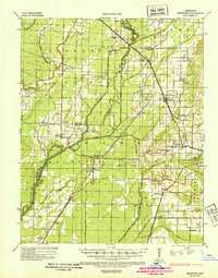
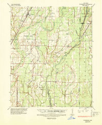
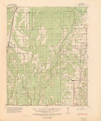
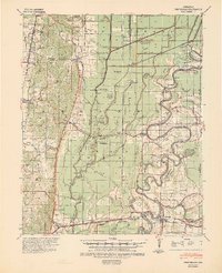
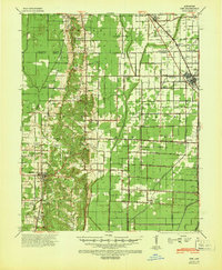
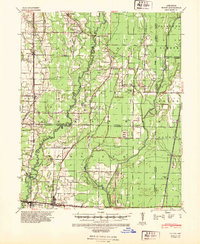
Other maps of this area
1935 · Sedgwick
USGS Topo · 1:62,500

1935 · Alicia
USGS Topo · 1:62,500
1935 · Tuckerman
USGS Topo · 1:62,500
1939 · Vanndale
USGS Topo · 1:62,500

1939 · Weiner
USGS Topo · 1:62,500
1939 · Jonesboro
USGS Topo · 1:62,500
1940 · Princedale
USGS Topo · 1:62,500
1940 · Dee
USGS Topo · 1:62,500
1940 · Tilton
USGS Topo · 1:62,500

1953 · Memphis
USGS Topo · 1:250,000