Old Maps of Lansing, Arkansas for Genealogy
Trace your family roots with 12 historic maps of Lansing. These high-res maps reveal old neighborhoods, homesites, landmarks, and streets — helping you uncover where your ancestors lived and how the area evolved over time.
- Explore historic neighborhoods: Identify where your relatives may have lived in the 1800s or 1900s.
- Compare maps over time: Trace the changes in streets, buildings, and landmarks for multi-generational research.
- Perfect for genealogy & ancestry research: Used by family historians and researchers to map out lineage and migration.
These maps are an incredible resource for exploring your personal connection to Lansing's past.
Lansing, AR maps
(12)- 1940 Map of Deckerville, 1942 Print
 1940 Deckerville1942 Print · USGSCrittenden and Poinsett counties are shown here as the local river-and-rail economy matured before the war. Genealogists can trace family landmarks like the King Solomon Sch & Cem, Booker Sch, and New Bethlehem Ch & Cem.
 - 1953 Map of Memphis, 1966 Print
 1953 Memphis1966 Print · USGSEastern Arkansas and the Memphis riverfront are shown here during the mid-century period of regional growth and river management. Local historians can trace the paths of the Chicago Rock Island & Pacific RR through Forrest City or locate river landmarks like President's Island.3 unique versions available
 - 1956 Map of Memphis
 1956 Memphis1956 Print · USGSThe Mississippi Delta and the bluffs of West Tennessee meet in the mid-fifties, showing a landscape defined by massive river systems and rail hubs. Researchers can trace the path of Crowleys Ridge or locate vanished river landings near Centennial Island and Island No 35.
 - 1957 Map of Deckerville, 1958 Print
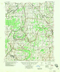 1957 Deckerville1958 Print · USGSThe Arkansas delta in the mid-fifties is captured here during its peak era of rail-and-river transport and intensive drainage. Genealogists can trace hundreds of rural family landmarks, including New Bethlehem Ch & Sch, St Peter Sch, and Prosperity Ch Sch & Cem.
 - 1974 Map of Earle
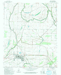 1974 Earle1974 Print · USGSCrittenden County's agricultural heartland is captured here in the mid-1970s, centered on the railroad hub of Earle. Researchers can trace family history through numerous landmarks like Dunbar High Sch, Barton Chapel, and the Gibson Bayou Church.2 unique versions available
 - 1977 Map of Deckerville
 1977 Deckerville1977 Print · USGSCrittenden and Poinsett counties are shown in the mid-seventies, an era when extensive drainage ditch networks supported a thriving agricultural delta. Genealogists can trace family names through sites like New Bethlehem Cem, Philadelphia Ch, and the settlement at Shannonville.
 - 1986 Map of Memphis West
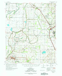
 1986 Memphis West1986 Print · USGSThe Mississippi River delta and the rise of Crowleys Ridge define this mid-1980s look at the Mid-South. Researchers can trace the development of West Memphis and Marion or locate landmarks like Crittenden Mem Cem and Village Creek State Park.2 unique versions available
 - 2011 Map of Earle, 2011 Print
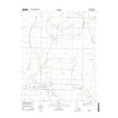
 2011 Earle2011 Print · USGSCovers Lansing, including Earle, Cloar, and other nearby areas
 - 2014 Map of Earle, 2014 Print
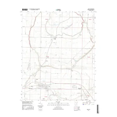
 2014 Earle2014 Print · USGSCovers Lansing, including Earle, Cloar, and other nearby areas
 - 2017 Map of Earle, 2017 Print
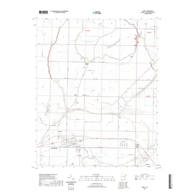
 2017 Earle2017 Print · USGSCovers Lansing, including Earle, Cloar, and other nearby areas
 - 2020 Map of Earle, 2020 Print
 2020 Earle2020 Print · USGSCovers Lansing, including Earle, Cloar, and other nearby areas
 - 2024 Map of Earle, 2024 Print
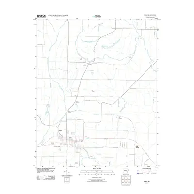
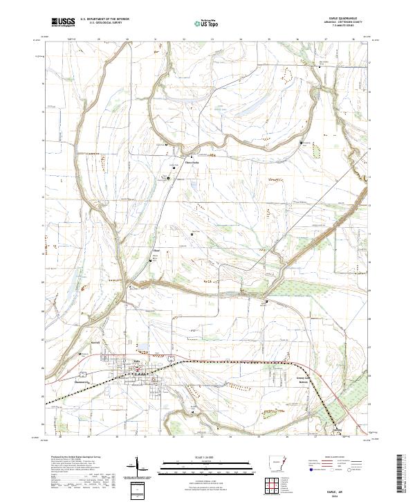 2024 Earle2024 Print · USGSCrittenden County's agricultural heartland is documented here in the early twenty-first century, centered on the railroad town of Earle. Genealogists can trace family landmarks at Saint Peters Church-Cem or find the Alex Cadion Grave near the Tyronza River.
End of results
Showing maps 1-12 of 12
Top cities near Lansing
- Memphis historical maps
- West Memphis historical maps
- Marion historical maps
- Earle historical maps
- Parkin historical maps
- Tyronza historical maps
See more
Frequently asked questions
- What are the different types of historical maps available for Lansing?
- What is the oldest map of Lansing?
- Where can I purchase historical maps of Lansing for my home or office?
- Where can I download high-res historical maps of Lansing?
- Are there historical topographic maps available for Lansing?
- Is there historical aerial imagery available for Lansing?
- Where are historical maps of Lansing sourced from?