Old Maps of Lansing, Arkansas for Metal Detecting
Plan your next treasure hunt with 12 historic maps of Lansing. Find old homesites, ghost towns, trails, and gathering spots that may be lost to time — perfect for identifying promising metal detecting locations.
- Locate forgotten sites: Uncover places like long-lost settlements, abandoned rail lines, or gathering spots.
- Plan better hunts: Use map overlays combined with LiDAR or satellite views to narrow in on historically rich areas.
- Made for detectorists: Thousands of hobbyists use these maps to discover relics, coins, and hidden history.
Use these historic maps to boost your research and find new opportunities beneath the surface of Lansing.
Lansing, AR maps
(12)- 1940 Map of Deckerville, 1942 Print
 1940 Deckerville1942 Print · USGSCrittenden and Poinsett counties are shown here as the local river-and-rail economy matured before the war. Genealogists can trace family landmarks like the King Solomon Sch & Cem, Booker Sch, and New Bethlehem Ch & Cem.
 - 1953 Map of Memphis, 1966 Print
 1953 Memphis1966 Print · USGSEastern Arkansas and the Memphis riverfront are shown here during the mid-century period of regional growth and river management. Local historians can trace the paths of the Chicago Rock Island & Pacific RR through Forrest City or locate river landmarks like President's Island.3 unique versions available
 - 1956 Map of Memphis
 1956 Memphis1956 Print · USGSThe Mississippi Delta and the bluffs of West Tennessee meet in the mid-fifties, showing a landscape defined by massive river systems and rail hubs. Researchers can trace the path of Crowleys Ridge or locate vanished river landings near Centennial Island and Island No 35.
 - 1957 Map of Deckerville, 1958 Print
 1957 Deckerville1958 Print · USGSThe Arkansas delta in the mid-fifties is captured here during its peak era of rail-and-river transport and intensive drainage. Genealogists can trace hundreds of rural family landmarks, including New Bethlehem Ch & Sch, St Peter Sch, and Prosperity Ch Sch & Cem.
 - 1974 Map of Earle
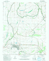 1974 Earle1974 Print · USGSCrittenden County's agricultural heartland is captured here in the mid-1970s, centered on the railroad hub of Earle. Researchers can trace family history through numerous landmarks like Dunbar High Sch, Barton Chapel, and the Gibson Bayou Church.2 unique versions available
 - 1977 Map of Deckerville
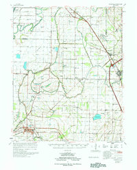 1977 Deckerville1977 Print · USGSCrittenden and Poinsett counties are shown in the mid-seventies, an era when extensive drainage ditch networks supported a thriving agricultural delta. Genealogists can trace family names through sites like New Bethlehem Cem, Philadelphia Ch, and the settlement at Shannonville.
 - 1986 Map of Memphis West
 1986 Memphis West1986 Print · USGSThe Mississippi River delta and the rise of Crowleys Ridge define this mid-1980s look at the Mid-South. Researchers can trace the development of West Memphis and Marion or locate landmarks like Crittenden Mem Cem and Village Creek State Park.2 unique versions available
 - 2011 Map of Earle, 2011 Print
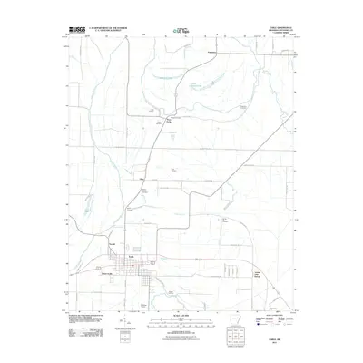 2011 Earle2011 Print · USGSCrittenden County's agricultural delta comes into focus during this 2010s survey of the Earle area. Genealogists can trace family footprints through a remarkable concentration of local burial sites, including Hood Cemetery, Richard Cemetery, and Berry Cemetery.
 - 2014 Map of Earle, 2014 Print
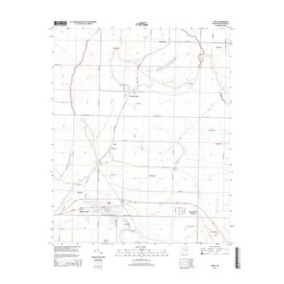 2014 Earle2014 Print · USGSCrittenden County's agricultural heartland is documented here in the early twenty-first century, showing the enduring layout of the Delta. Genealogists can locate several local burial sites including Gibson Bayou Cem and Prosperity Cem near settlements like Three Forks.
 - 2017 Map of Earle, 2017 Print
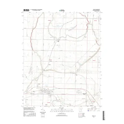 2017 Earle2017 Print · USGSIn the Arkansas delta during the early twenty-first century, the town of Earle stands as a rail-aligned community surrounded by fertile wetlands. Genealogists can locate several local burial grounds like Gibson Bayou Cemetery and the settlement of Three Forks.
 - 2020 Map of Earle, 2020 Print
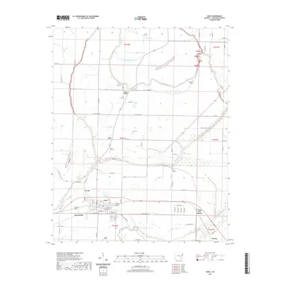 2020 Earle2020 Print · USGSThe town of Earle and its surrounding Delta farmland are captured here in the contemporary era. Genealogists can locate several family-named burial sites like Berry Cem and Layton Cem, while tracing the banks of Gibson Bayou and the Tyronza River.
 - 2024 Map of Earle, 2024 Print
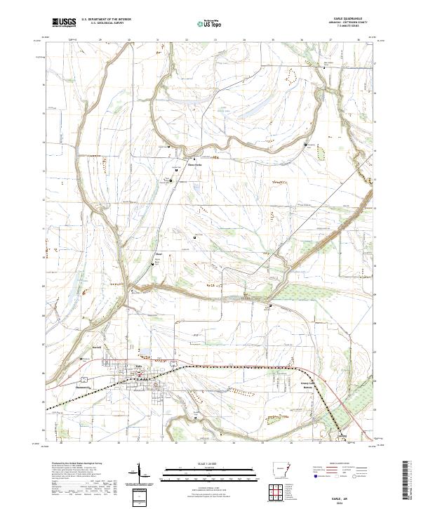 2024 Earle2024 Print · USGSCrittenden County's agricultural heartland is documented here in the early twenty-first century, centered on the railroad town of Earle. Genealogists can trace family landmarks at Saint Peters Church-Cem or find the Alex Cadion Grave near the Tyronza River.
End of results
Showing maps 1-12 of 12
Top cities near Lansing
- Memphis historical maps
- West Memphis historical maps
- Marion historical maps
- Earle historical maps
- Parkin historical maps
- Tyronza historical maps
See more
Frequently asked questions
- What are the different types of historical maps available for Lansing?
- What is the oldest map of Lansing?
- Where can I purchase historical maps of Lansing for my home or office?
- Where can I download high-res historical maps of Lansing?
- Are there historical topographic maps available for Lansing?
- Is there historical aerial imagery available for Lansing?
- Where are historical maps of Lansing sourced from?