Old Maps of Turrell, Arkansas for Hiking & Exploration
Hike through history with 18 historic maps of Turrell. Explore old trails, ghost towns, and forgotten backroads — perfect for outdoor adventurers and local explorers.
- Rediscover forgotten places: Map out old mining camps, roads, and footpaths that no longer exist on modern maps.
- Layer with modern tools: Combine with LiDAR or satellite views to plan hikes through historical terrain.
- Made for exploration: Popular among hikers, overlanders, and local history lovers.
Use these maps to find adventure and explore the hidden past of Turrell.
Turrell, AR maps
(18)- 1940 Map of Deckerville, 1942 Print
 1940 Deckerville1942 Print · USGSCrittenden and Poinsett counties are shown here as the local river-and-rail economy matured before the war. Genealogists can trace family landmarks like the King Solomon Sch & Cem, Booker Sch, and New Bethlehem Ch & Cem.
 - 1953 Map of Memphis, 1966 Print
 1953 Memphis1966 Print · USGSEastern Arkansas and the Memphis riverfront are shown here during the mid-century period of regional growth and river management. Local historians can trace the paths of the Chicago Rock Island & Pacific RR through Forrest City or locate river landmarks like President's Island.3 unique versions available
 - 1956 Map of Memphis
 1956 Memphis1956 Print · USGSThe Mississippi Delta and the bluffs of West Tennessee meet in the mid-fifties, showing a landscape defined by massive river systems and rail hubs. Researchers can trace the path of Crowleys Ridge or locate vanished river landings near Centennial Island and Island No 35.
 - 1957 Map of Deckerville, 1958 Print
 1957 Deckerville1958 Print · USGSThe Arkansas delta in the mid-fifties is captured here during its peak era of rail-and-river transport and intensive drainage. Genealogists can trace hundreds of rural family landmarks, including New Bethlehem Ch & Sch, St Peter Sch, and Prosperity Ch Sch & Cem.
 - 1963 Map of Heafer, 1976 Print
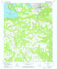 1963 Heafer1976 Print · USGSHeber Springs and the surrounding Cleburne County hills are shown during a period of growth as the Greers Ferry Lake shoreline stabilized. Researchers can locate rural landmarks like Mt Devonshire Ch, Palestine Cem, and the Old Railroad Grade.
 - 1974 Map of Tyronza, 1976 Print
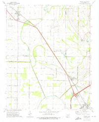 1974 Tyronza1976 Print · USGSThe Arkansas delta comes into focus during the mid-1970s, showing a landscape of precise drainage ditches and rail-side towns. Genealogists can trace family roots through numerous rural landmarks like Milam Chapel, Pilgrims Rest Ch, and the communities of Deckerville and Birdsong.
 - 1977 Map of Deckerville
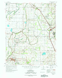 1977 Deckerville1977 Print · USGSCrittenden and Poinsett counties are shown in the mid-seventies, an era when extensive drainage ditch networks supported a thriving agricultural delta. Genealogists can trace family names through sites like New Bethlehem Cem, Philadelphia Ch, and the settlement at Shannonville.
 - 1986 Map of Memphis West
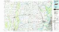 1986 Memphis West1986 Print · USGSThe Mississippi River delta and the rise of Crowleys Ridge define this mid-1980s look at the Mid-South. Researchers can trace the development of West Memphis and Marion or locate landmarks like Crittenden Mem Cem and Village Creek State Park.2 unique versions available
 - 2011 Map of Tyronza, 2011 Print
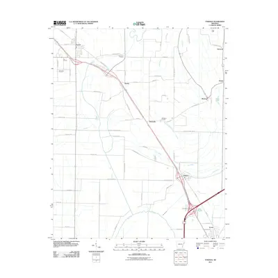 2011 Tyronza2011 Print · USGSThe Delta landscape of Poinsett and Crittenden Counties comes into focus in this recent survey of the Tyronza and Gilmore corridor. Local researchers can trace family landmarks like New Bethel Cemetery and Cherry Bean Cemetery or explore the rural reaches of Birdsong.
 - 2011 Map of Heafer, 2011 Print
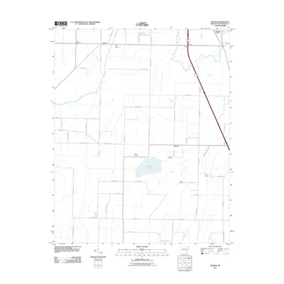 2011 Heafer2011 Print · USGSCrittenden County at the start of the 2010s is characterized by its agricultural grid and scattered rural communities. Genealogists can trace several burial sites including Saint Pauls Cemetery and Billow Cemetery near settlements like Heafer and Booker.
 - 2014 Map of Tyronza, 2014 Print
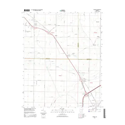 2014 Tyronza2014 Print · USGSThe Arkansas Delta comes into focus in this recent survey, capturing the agricultural heartland where Poinsett, Mississippi, and Crittenden counties meet. Researchers can trace the layout of Tyronza, find smaller settlements like Deckerville, and locate historic sites such as Mt Zion Cem or New Bethel Cem.
 - 2014 Map of Heafer, 2014 Print
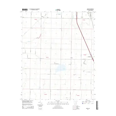 2014 Heafer2014 Print · USGSCrittenden County in the early twenty-first century remains a landscape of bayous and quiet settlements like Heafer and Turrell. Researchers can locate several historic burial sites such as Cruse Cem, Walnut Grove Cem, and Booker Cem tucked along the rural road grid.
 - 2017 Map of Heafer, 2017 Print
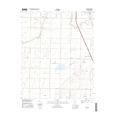 2017 Heafer2017 Print · USGSCrittenden County's agricultural heartland is documented here in the late twenty-tens, showing the rural grid around Turrell and Heafer. Genealogists and local historians can trace family-named landmarks and rural burial grounds like Saint Pauls Cem and Billow Cem.
 - 2017 Map of Tyronza, 2017 Print
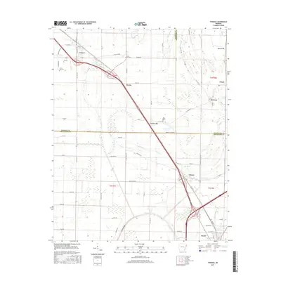 2017 Tyronza2017 Print · USGSThe Arkansas delta near Tyronza and Gilmore shows a landscape of bayous and drainage networks in the late twenty-teens. Genealogists can locate family landmarks at New Bethel Cem and Mount Zion Cem, or trace early transit routes like OLD HWY 63 and Steel Bridge Rd.
 - 2020 Map of Heafer, 2020 Print
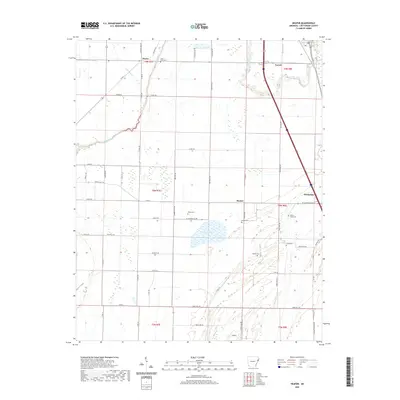 2020 Heafer2020 Print · USGSCrittenden County's agricultural heartland is documented here in the early twenty-first century, showing the enduring grid of delta farming. Genealogists can locate family burial sites at Saint Pauls Cem or Walnut Grove Cem and trace the roads connecting Turrell to Heafer.
 - 2020 Map of Tyronza, 2020 Print
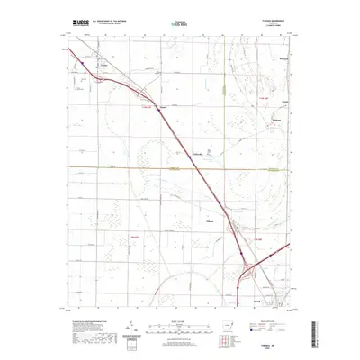 2020 Tyronza2020 Print · USGSThe Arkansas delta near the Poinsett and Crittenden county lines is captured here in recent years as a landscape of interconnected bayous and rural settlements. Researchers can trace local history through sites like Cherry Bean Cem and the communities of Birdsong and Tyronza.
 - 2024 Map of Heafer, 2024 Print
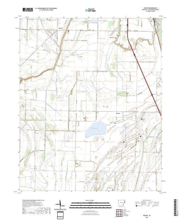 2024 Heafer2024 Print · USGSCrittenden County in the modern era maintains its deep agricultural roots alongside the protected waters of the Wapanocca National Wildlife Refuge. Researchers can locate several historic burial grounds like Saint Pauls Cem and Billow Cem or trace old routes along Big Creek.
 - 2024 Map of Tyronza, 2024 Print
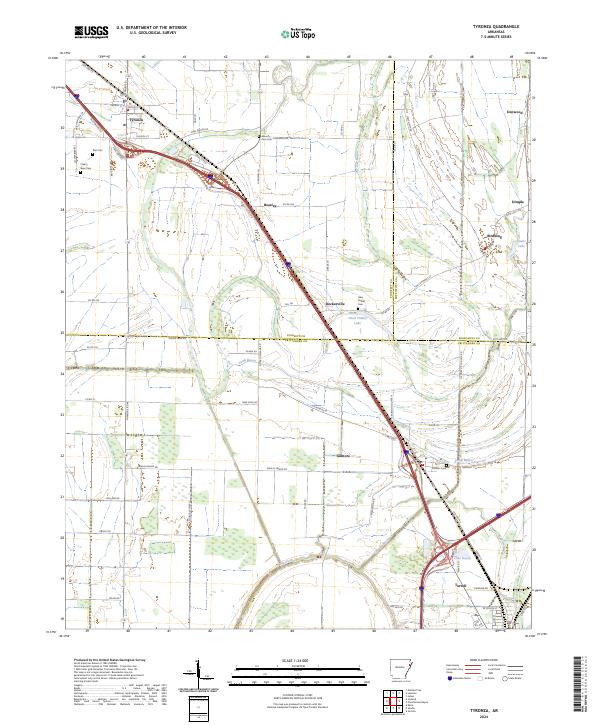 2024 Tyronza2024 Print · USGSThe Delta landscape around the Poinsett and Crittenden county lines is shown here in its modern agricultural and transportation context. Local researchers can locate early burial sites like Mount Zion Cem and trace the paths of Cross Bayou and Lamb Bayou through the lowlands.
End of results
Showing maps 1-18 of 18
Top cities near Turrell
- Memphis historical maps
- West Memphis historical maps
- Marion historical maps
- Marked Tree historical maps
- Earle historical maps
- Lepanto historical maps
See more
Frequently asked questions
- What are the different types of historical maps available for Turrell?
- What is the oldest map of Turrell?
- Where can I purchase historical maps of Turrell for my home or office?
- Where can I download high-res historical maps of Turrell?
- Are there historical topographic maps available for Turrell?
- Is there historical aerial imagery available for Turrell?
- Where are historical maps of Turrell sourced from?