Old Maps of West Memphis, Arkansas for Hiking & Exploration
Hike through history with 38 historic maps of West Memphis. Explore old trails, ghost towns, and forgotten backroads — perfect for outdoor adventurers and local explorers.
- Rediscover forgotten places: Map out old mining camps, roads, and footpaths that no longer exist on modern maps.
- Layer with modern tools: Combine with LiDAR or satellite views to plan hikes through historical terrain.
- Made for exploration: Popular among hikers, overlanders, and local history lovers.
Use these maps to find adventure and explore the hidden past of West Memphis.
West Memphis, AR maps
(38)- 1916 Map of Memphis, 1954 Print
 1916 Memphis1954 Print · USGSMemphis and the Mississippi River bottomlands appear here in the early twentieth century, showing a landscape shaped by river transport and rail expansion. Genealogists and historians can locate rural landmarks like Barton Store, the Levi School, and the community of Mound City.
 - 1925 Map of Memphis
 1925 Memphis1925 Print · USGSThe Memphis riverfront and its Arkansas neighbors are shown here in the mid-1920s as modern highway projects began to parallel the extensive rail network. Genealogists can locate family-named features like Bertons Store, Mound City School, and Plunkett Chapel.
 - 1927 Map of Memphis
 1927 Memphis1927 Print · USGSMemphis and the Mississippi River bottomlands are captured here in the late twenties during a period of massive rail and river commerce. Genealogists can locate family landmarks like Plunkett Chapel, Levi School, and the Bunker Hill cemetery.2 unique versions available
 - 1939 Map of Edmondson, 1942 Print
 1939 Edmondson1942 Print · USGSCrittenden and St. Francis Counties are shown in the late thirties as a landscape of rail-connected farming towns and bayous. Genealogists can locate family landmarks like Garrett Cem, Macedonia Ch, and the combined Bellmeade Sch & Ch.
 - 1939 Map of Memphis, 1944 Print
 1939 Memphis1944 Print · USGSThe Mississippi River corridor near Memphis and West Memphis is captured here just before mid-century. Researchers can trace the legacy of the riverfront through landmarks like Ensley Plantation, Bridge Junction, and historic grounds at Ross Hill Cem.
 - 1953 Map of Memphis, 1966 Print
 1953 Memphis1966 Print · USGSEastern Arkansas and the Memphis riverfront are shown here during the mid-century period of regional growth and river management. Local historians can trace the paths of the Chicago Rock Island & Pacific RR through Forrest City or locate river landmarks like President's Island.3 unique versions available
 - 1954 Map of Edmondson, 1955 Print
 1954 Edmondson1955 Print · USGSCrittenden and St. Francis counties in the mid-fifties show a landscape of intricate Delta bayous and growing rural settlements. Genealogists can trace family roots through numerous local landmarks like Truevine Ch & Cem, Greasy Corner, and Crawfordsville.2 unique versions available
 - 1955 Map of Memphis
 1955 Memphis1955 Print · USGSMemphis and its Arkansas neighbors are shown here in the mid-fifties, during a time of major river engineering and rail expansion. Genealogists and historians can trace the foundations of local communities through landmarks like Ensley Plantation, Elmwood Cem, and the rural Riceville Sch.
 - 1956 Map of Memphis
 1956 Memphis1956 Print · USGSThe Mississippi Delta and the bluffs of West Tennessee meet in the mid-fifties, showing a landscape defined by massive river systems and rail hubs. Researchers can trace the path of Crowleys Ridge or locate vanished river landings near Centennial Island and Island No 35.
 - 1960 Map of Memphis, 1963 Print
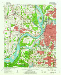 1960 Memphis1963 Print · USGSGreater Memphis and its Arkansas neighbors are shown at a peak of industrial and suburban growth. Trace family history through old landmarks like Locella Ch, the Marion Flying Service, and established cemeteries such as Forest Hill Cem.2 unique versions available
 - 1965 Map of Northwest Memphis, 1967 Print
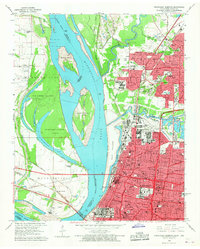 1965 Northwest Memphis1967 Print · USGSThe riverfront and industrial core of Memphis are documented here in the mid-sixties as urban neighborhoods and rail yards met the river. Genealogists and historians can trace local landmarks like Frayser, St Peters Orphanage, and Bridge Junction.3 unique versions available
 - 1966 Map of West Memphis, 1967 Print
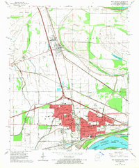 1966 West Memphis1967 Print · USGSMid-century West Memphis and the neighboring seat of Marion are shown during a period of rapid expansion near the Mississippi. Researchers can trace the mid-century rail networks and find local landmarks like the Southland Park Racetrack, Mound City, and the West Memphis Airport.3 unique versions available
 - 1966 Map of Fletcher Lake, 1967 Print
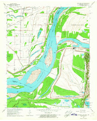 1966 Fletcher Lake1967 Print · USGSThe riverfront south of Memphis in the mid-sixties reveals a landscape of industrial power and rural resilience. Genealogists and historians can trace the early footprints of Waverly, Riceville, and Millers alongside the Chucalissa Archaeological Park.4 unique versions available
 - 1975 Map of Edmondson NE, 1976 Print
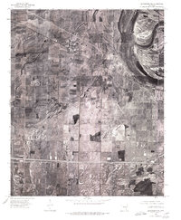 1975 Edmondson NE1976 Print · USGSCrittenden County's agricultural heartland is documented in the mid-1970s through this detailed aerial survey. Genealogists and local historians can trace exact farmstead locations and rural crossroads settlements like Crawfordsville, Vincent, and Lehi.
 - 1981 Map of Crawfordsville, 1982 Print
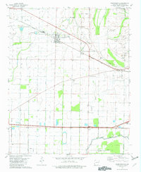 1981 Crawfordsville1982 Print · USGSCrittenden County's agricultural heartland is documented here in the early eighties, centered on the rail crossroads of Crawfordsville. Genealogists and local historians can locate numerous rural landmarks like St Stephens Cem, Corinthian Ch, and the small settlement of Julius.2 unique versions available
 - 1986 Map of Memphis West
 1986 Memphis West1986 Print · USGSThe Mississippi River delta and the rise of Crowleys Ridge define this mid-1980s look at the Mid-South. Researchers can trace the development of West Memphis and Marion or locate landmarks like Crittenden Mem Cem and Village Creek State Park.2 unique versions available
 - 1997 Map of Northwest Memphis, 1999 Print
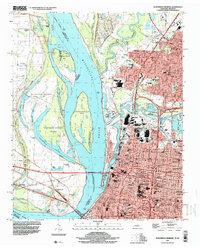 1997 Northwest Memphis1999 Print · USGSThe riverfront and urban expansion of Memphis meet the Arkansas shoreline in the late nineties, documenting a landscape of critical bridges and historic neighborhoods. Genealogists and historians can trace schools and landmarks like Owen College, Green Hill Cem, and St Johns Ch.
 - 1997 Map of West Memphis, 2001 Print
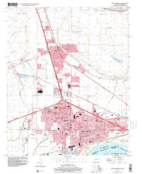 1997 West Memphis2001 Print · USGSCrittenden County at the close of the twentieth century shows the expanding urban footprints of West Memphis and Marion. Researchers can locate local landmarks like the Southland Park Racetrack, Mound City, and the Crittenden Memorial Park (Cem).
 - 2011 Map of Crawfordsville, 2011 Print
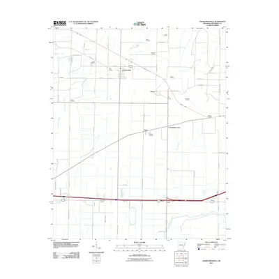 2011 Crawfordsville2011 Print · USGSCrittenden County in the early 2000s remains a landscape defined by its delta bayous and rural intersections. Genealogists can trace family history through numerous burial sites like Shiloh Cemetery and the settlements of Crawfordsville and Ebony.
 - 2011 Map of West Memphis, 2011 Print
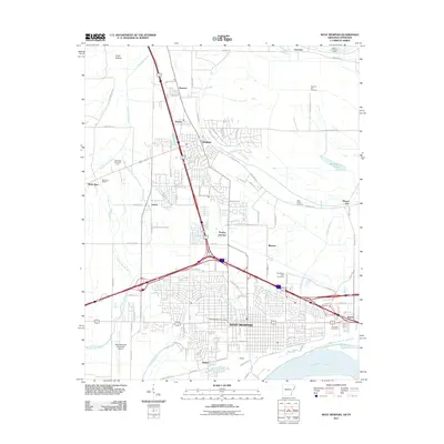 2011 West Memphis2011 Print · USGSWest Memphis and Marion are shown at a peak of modern development along the Mississippi River in the early 2010s. Trace local landmarks like the Southland Park Racetrack, the BNSF Railway lines, and the historic Mound City settlement.
 - 2011 Map of Fletcher Lake, 2011 Print
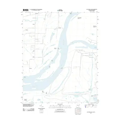 2011 Fletcher Lake2011 Print · USGSThe Mississippi River bottoms south of Memphis appear in 2011 as a landscape of shifting channels, industrial ports, and ancient history. Local researchers can trace old river landings like Biggs Landing or explore the site of Chucalissa Indian Village and Saint Johns Cemetery.
 - 2011 Map of Northwest Memphis, 2011 Print
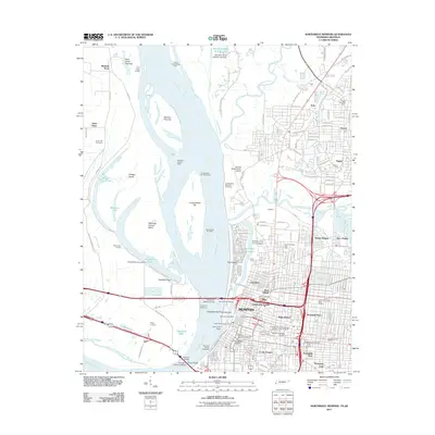 2011 Northwest Memphis2011 Print · USGSMemphis and its industrial riverfront are captured in this early 21st-century survey as the city's modern infrastructure and historic districts converge. Genealogists and historians can trace neighborhood developments in Stonewall Place and Hunt Village, or locate landmarks like Green Hill Cemetery.
 - 2013 Map of Northwest Memphis, 2013 Print
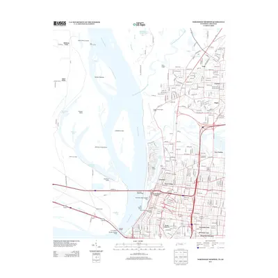 2013 Northwest Memphis2013 Print · USGSMemphis and its riverfront come alive in this 2013 survey, documenting the city's historic districts and vital river crossings. Genealogists and historians can trace neighborhood developments like Lauderdale Courts and the Beale Street National Historic Preservation District.
 - 2014 Map of Crawfordsville, 2014 Print
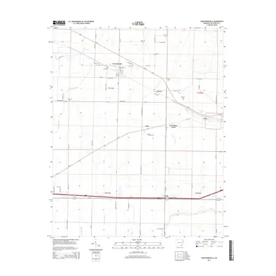 2014 Crawfordsville2014 Print · USGSCrittenden County's agricultural heartland is documented here in the early twenty-first century, centered on the historic crossroads of Crawfordsville. Genealogists can locate numerous rural burial sites including Shiloh Cem and Vincent Cem while tracing the winding paths of Alligator Bayou.
 - 2014 Map of Fletcher Lake, 2014 Print
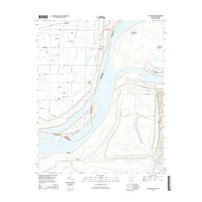 2014 Fletcher Lake2014 Print · USGSThe Tennessee and Arkansas border along the Mississippi River is captured here in the early twenty-first century. Researchers can trace rural settlements like Wyanoke and Riceville, or explore river features and industrial sites near Presidents Island Number Forty-five.
Showing maps 1-25 of 38
Top cities near West Memphis
- Memphis historical maps
- Southaven historical maps
- Horn Lake historical maps
- Marion historical maps
- Turrell historical maps
- Crawfordsville historical maps
See more
Top neighborhoods of West Memphis
- Galet historical maps
- Cunningham Corner historical maps
- Mound City historical maps
- Blanton historical maps
- Briark historical maps
- Hulbert historical maps
See more
Frequently asked questions
- What are the different types of historical maps available for West Memphis?
- What is the oldest map of West Memphis?
- Where can I purchase historical maps of West Memphis for my home or office?
- Where can I download high-res historical maps of West Memphis?
- Are there historical topographic maps available for West Memphis?
- Is there historical aerial imagery available for West Memphis?
- Where are historical maps of West Memphis sourced from?