Old Maps of Beulah Island Landing, Arkansas for Hiking & Exploration
Hike through history with 11 historic maps of Beulah Island Landing. Explore old trails, ghost towns, and forgotten backroads — perfect for outdoor adventurers and local explorers.
- Rediscover forgotten places: Map out old mining camps, roads, and footpaths that no longer exist on modern maps.
- Layer with modern tools: Combine with LiDAR or satellite views to plan hikes through historical terrain.
- Made for exploration: Popular among hikers, overlanders, and local history lovers.
Use these maps to find adventure and explore the hidden past of Beulah Island Landing.
Beulah Island Landing, AR maps
(11)- 1939 Map of Big Island, 1945 Print
 1939 Big Island1945 Print · USGSThe confluence of the White, Arkansas, and Mississippi Rivers is captured here in the late 1930s, showing a land defined by shifting channels and strategic landings. Researchers can trace the river economy through Campbell Ferry and Pleasant Green Ch & Cem near Rosedale.3 unique versions available
 - 1953 Map of Greenwood, 1966 Print
 1953 Greenwood1966 Print · USGSThe Mississippi Delta in the mid-fifties is captured here as a thriving network of river towns, railroads, and oxbow lakes. Researchers can trace the legacy of the Illinois Central Railroad and locate landmarks like the State Penal Farm and Greenville Air Force Base.5 unique versions available
 - 1956 Map of Greenwood
 1956 Greenwood1956 Print · USGSThe Mississippi Delta in the mid-fifties is captured here during a period of significant military and agricultural activity. Researchers can trace the rail lines of the Illinois Central RR, find the Greenville Air Force Base, or locate the State Penal Farm.
 - 1972 Map of Rosedale, 1974 Print
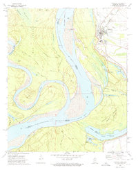 1972 Rosedale1974 Print · USGSRosedale and the Mississippi Delta riverfront are captured here in the early seventies, showing a landscape defined by massive levees and rail lines. Researchers can locate the Beulah Crevasse (1912), the Amos Tabernacle Cem, and old river stops like Riverton Landing.
 - 1986 Map of Dumas
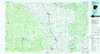 1986 Dumas1986 Print · USGSSoutheast Arkansas in the mid-eighties shows a landscape defined by the winding Mississippi River and the Missouri Pacific Railroad corridor. Genealogists can trace family roots through river towns like Arkansas City and the rail-junction history of McGehee.2 unique versions available
 - 2011 Map of Rosedale, 2011 Print
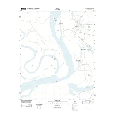 2011 Rosedale2011 Print · USGSThe Mississippi Delta riverfront comes alive in this survey, showing the vital connection between the town of Rosedale and the shifting river channel. Researchers can trace historical river landings like Riverton Landing and find local family sites at Anns Tabernacle Cemetery.
 - 2012 Map of Rosedale, 2012 Print
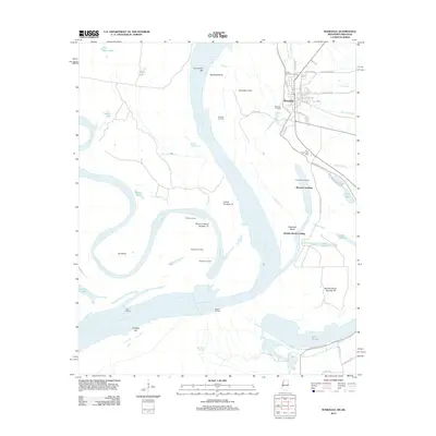 2012 Rosedale2012 Print · USGSThe river town of Rosedale and its surroundings are documented here in the early twenty-first century, showing the complex interaction of the Mississippi River and Arkansas River. Researchers can trace historical river access points like Ozark Landing and Beulah Island Landing, or locate local landmarks such as Anns Tabernacle Cemetery.
 - 2015 Map of Rosedale, 2015 Print
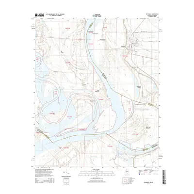 2015 Rosedale2015 Print · USGSRosedale and the winding Mississippi River bottoms are captured here during the mid-2010s, showing a landscape defined by water and delta history. Researchers can trace family sites at Anns Tabernacle Cem or explore river access points like Riverton Landing and Beulah Island Landing.
 - 2018 Map of Rosedale, 2018 Print
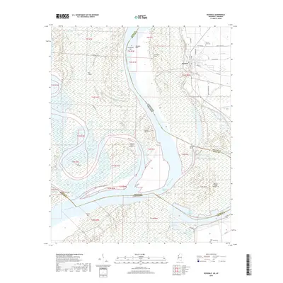 2018 Rosedale2018 Print · USGSThe Mississippi and Arkansas rivers converge in this delta region as it appeared in the late 2010s. Researchers can trace local heritage and land use through features like Rosedale, Pleasant Grove Cem, and the winding Whiskey Chute.
 - 2020 Map of Rosedale, 2020 Print
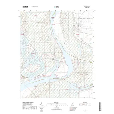 2020 Rosedale2020 Print · USGSThe Bolivar County riverfront comes into focus here during the early twenty-first century, showing the confluence of the Mississippi and Arkansas Rivers. Researchers can locate the Bolivar County Courthouse and local burial grounds like Anns Tabernacle Cem and Pleasant Grove Cem.
 - 2024 Map of Rosedale, 2024 Print
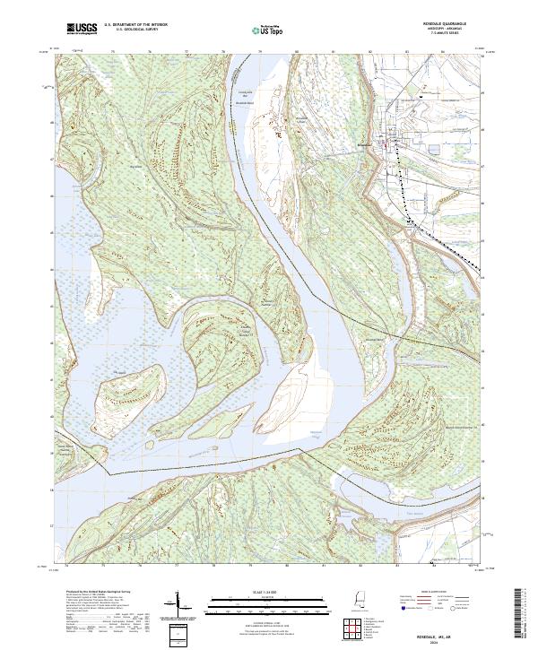 2024 Rosedale2024 Print · USGSThe confluence of the Mississippi and Arkansas Rivers at the Mississippi-Arkansas border reveals a landscape shaped by shifting waters. Genealogists and local historians can trace the foundations of Rosedale from the Bolivar County Courthouse to rural sites like Pleasant Grove Cem and Lake Beulah.
End of results
Showing maps 1-11 of 11
Top cities near Beulah Island Landing
- Rosedale historical maps
- Benoit historical maps
- Beulah historical maps
- Pace historical maps
- Arkansas City historical maps
- Gunnison historical maps
See more
Frequently asked questions
- What are the different types of historical maps available for Beulah Island Landing?
- What is the oldest map of Beulah Island Landing?
- Where can I purchase historical maps of Beulah Island Landing for my home or office?
- Where can I download high-res historical maps of Beulah Island Landing?
- Are there historical topographic maps available for Beulah Island Landing?
- Is there historical aerial imagery available for Beulah Island Landing?
- Where are historical maps of Beulah Island Landing sourced from?