Old Maps of College Heights, Arkansas for Academic Research
Study the evolution of College Heights with 9 high-resolution historic maps. Whether you're teaching, researching, or modeling changes in land use, these maps provide essential visual documentation of urban, environmental, and geographic change.
- Analyze long-term change: Track patterns in development, transportation, and natural features.
- Ideal for environmental or urban studies: Support academic projects with primary historical map data.
- Use in the classroom or lab: Educators and researchers rely on these maps to bring historical context to life.
These maps are a powerful tool for teaching, research, and visualizing how College Heights has changed over the decades.
College Heights, AR maps
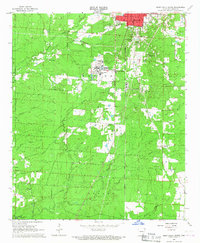
(9)- 1953 Map of Greenwood, 1966 Print
 1953 Greenwood1966 Print · USGSThe Mississippi Delta in the mid-fifties is captured here as a thriving network of river towns, railroads, and oxbow lakes. Researchers can trace the legacy of the Illinois Central Railroad and locate landmarks like the State Penal Farm and Greenville Air Force Base.5 unique versions available
 - 1956 Map of Greenwood
 1956 Greenwood1956 Print · USGSThe Mississippi Delta in the mid-fifties is captured here during a period of significant military and agricultural activity. Researchers can trace the rail lines of the Illinois Central RR, find the Greenville Air Force Base, or locate the State Penal Farm.
 - 1966 Map of Monticello South, 1967 Print
 1966 Monticello South1967 Print · USGSSoutheast Arkansas in the mid-sixties reveals a landscape balancing academic growth with deep-rooted rural traditions. Genealogists can trace family heritage at Rough and Ready Cem or Brooks Chapel while following the Ashley Drew and Northern rail line.
 - 1986 Map of Dumas
 1986 Dumas1986 Print · USGSSoutheast Arkansas in the mid-eighties shows a landscape defined by the winding Mississippi River and the Missouri Pacific Railroad corridor. Genealogists can trace family roots through river towns like Arkansas City and the rail-junction history of McGehee.2 unique versions available
 - 2011 Map of Monticello South, 2011 Print
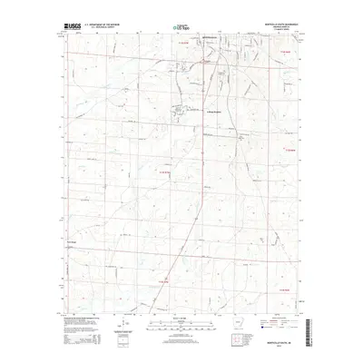
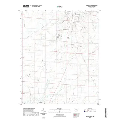
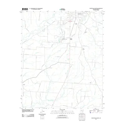 2011 Monticello South2011 Print · USGSCovers College Heights, including Monticello, Drew County, and other nearby areas
 - 2014 Map of Monticello South, 2014 Print
 2014 Monticello South2014 Print · USGSCovers College Heights, including Monticello, Drew County, and other nearby areas
 - 2017 Map of Monticello South, 2017 Print
 2017 Monticello South2017 Print · USGSCovers College Heights, including Monticello, Drew County, and other nearby areas
 - 2020 Map of Monticello South, 2020 Print
 2020 Monticello South2020 Print · USGSCovers College Heights, including Monticello, Drew County, and other nearby areas
 - 2024 Map of Monticello South, 2024 Print
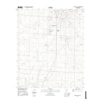
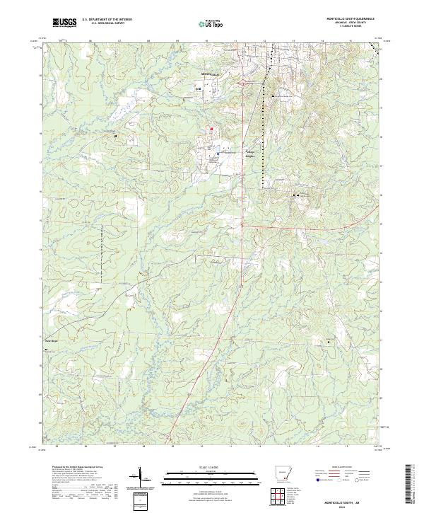 2024 Monticello South2024 Print · USGSMonticello and the surrounding Drew County countryside are documented here in the early twenty-first century. Researchers can trace local landmarks like the University Of Arkansas At Monticello or find old burial sites at Rough and Ready Cem and Brooks Chapel Cem.
End of results
Showing maps 1-9 of 9
Top cities near College Heights
Frequently asked questions
- What are the different types of historical maps available for College Heights?
- What is the oldest map of College Heights?
- Where can I purchase historical maps of College Heights for my home or office?
- Where can I download high-res historical maps of College Heights?
- Are there historical topographic maps available for College Heights?
- Is there historical aerial imagery available for College Heights?
- Where are historical maps of College Heights sourced from?